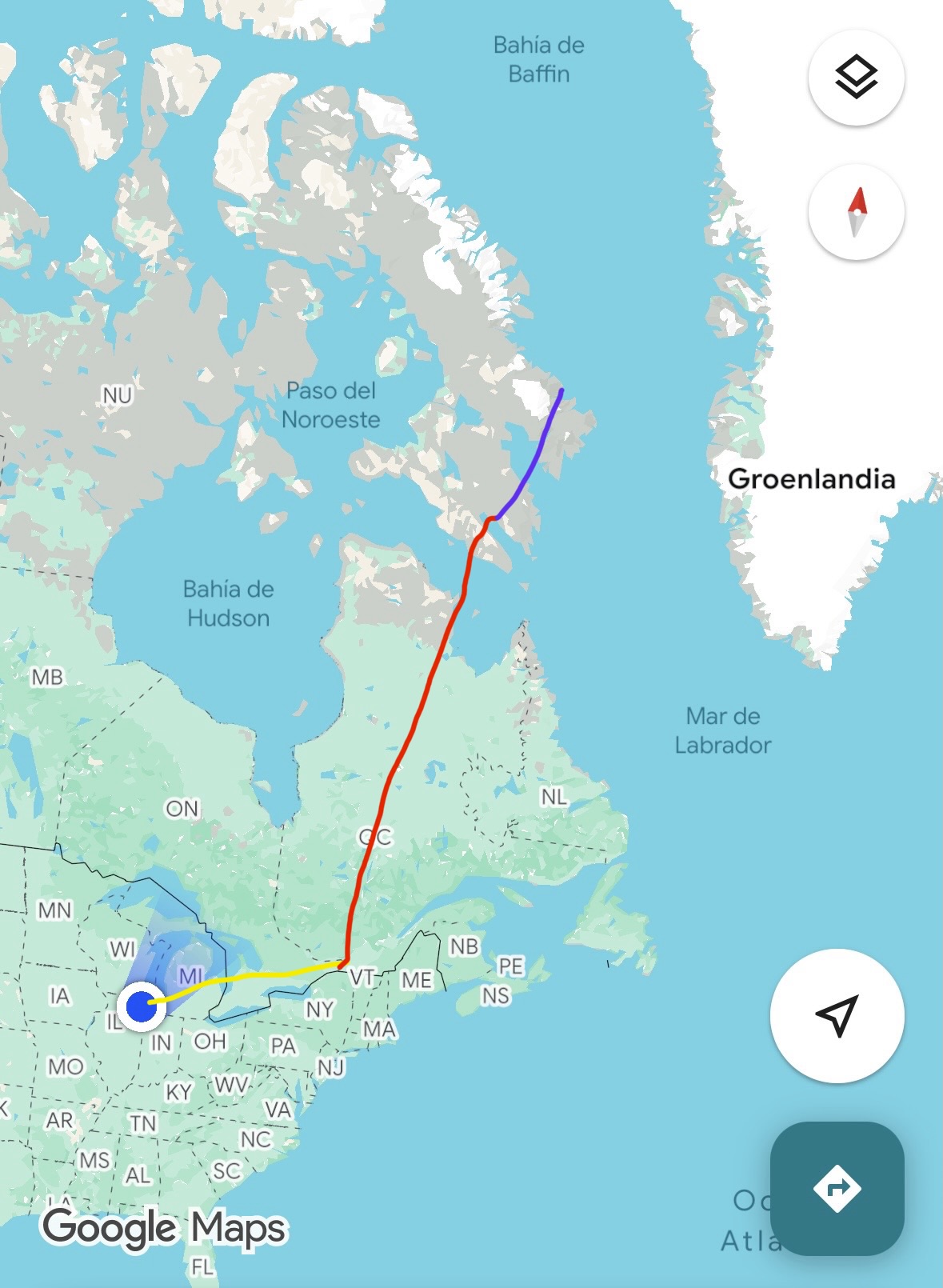
The Akshayuk Pass hike in Auyuittuq National Park is not easy to get to. First I flew from Chicago to Ottawa on an Air Canada flight (shown in yellow) and then spent the night there. Early the next morning, I took a flight from Ottawa to Iqaluit on Canadian North Airlines (shown in red). After a brief layover, I got on another plane, an 8 or 10-seat prop plane, and flew for an hour up to Pangnirtung where we stopped for like 45 minutes, then got back on the same plane and flew another twenty or so minutes up to Qikiqtarjuaq (route shown in purple).
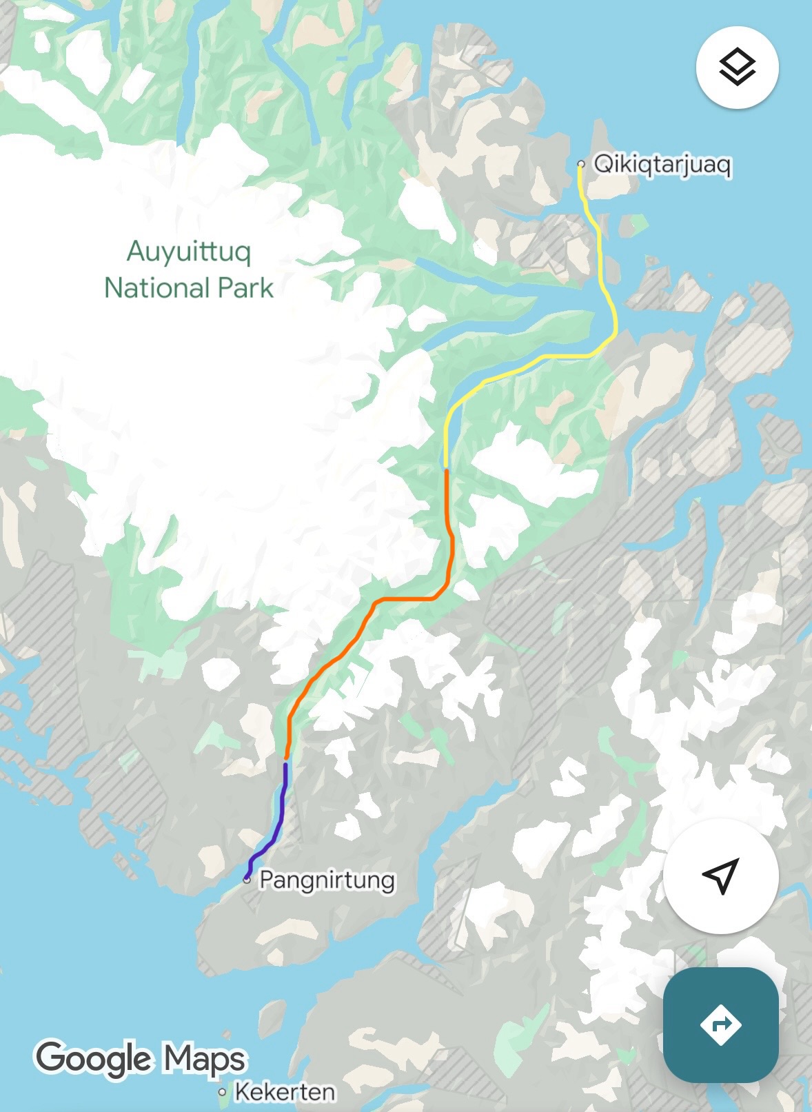
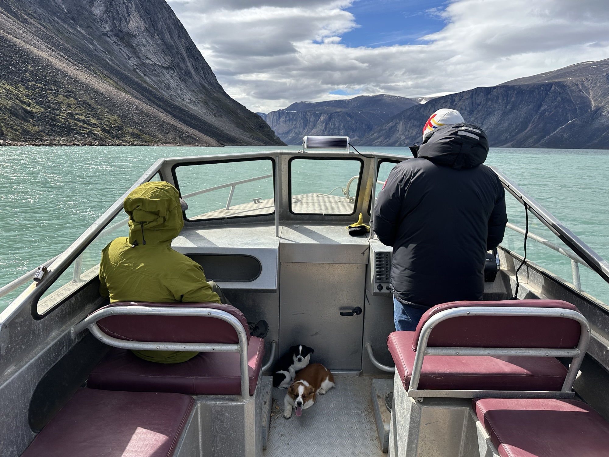
At the airport in Qikiqtarjuaq, we were greeted by a local outfitter named Billy Arnaquq who picked us up in his truck and took us over to the local Parks Canada office to register our hike and watch a mandatory safety presentation. After spending a night camping outside of the town many people know as “Qik” (population of around five to six hundred), Billy took us on a 3-hour boat ride down the North Pangnirtung Fjord and dropped us off in the national park (route shown in yellow). The red line represents the roughly 100km route we’d be covering on foot over the course of the following 8 days. The purple line shows the 45-minute boat ride we’d be taking from the end of the hike to the town of Pangnirtung.
The Experience
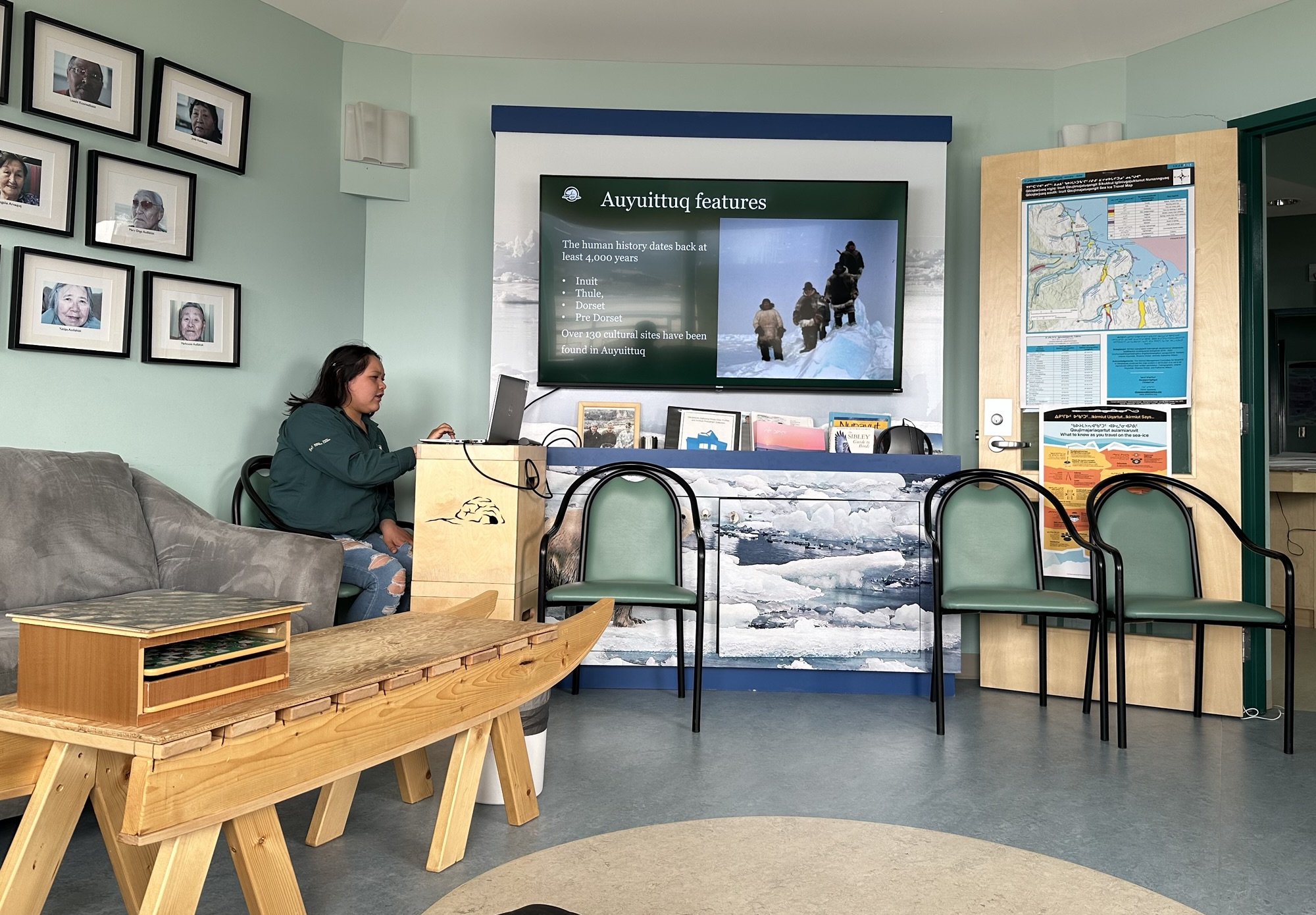
The mandatory slide show safety presentation we had to watch at the Parks Canada office in Qik. While the girl in the photo and another girl were giving the presentation, Billy Arnaquq came in and said “These are just scare tactics.” The girls scolded him in Inuktitut, the local language, and he just rolled his eyes. “Billy,” one of them said in English, “it’s very important that all tourists see this before going into the park.” To be fair, most of the info was pretty useless. But the part that said the safest time to cross glacier-fed rivers is between 2am and 7am was actually pretty helpful.
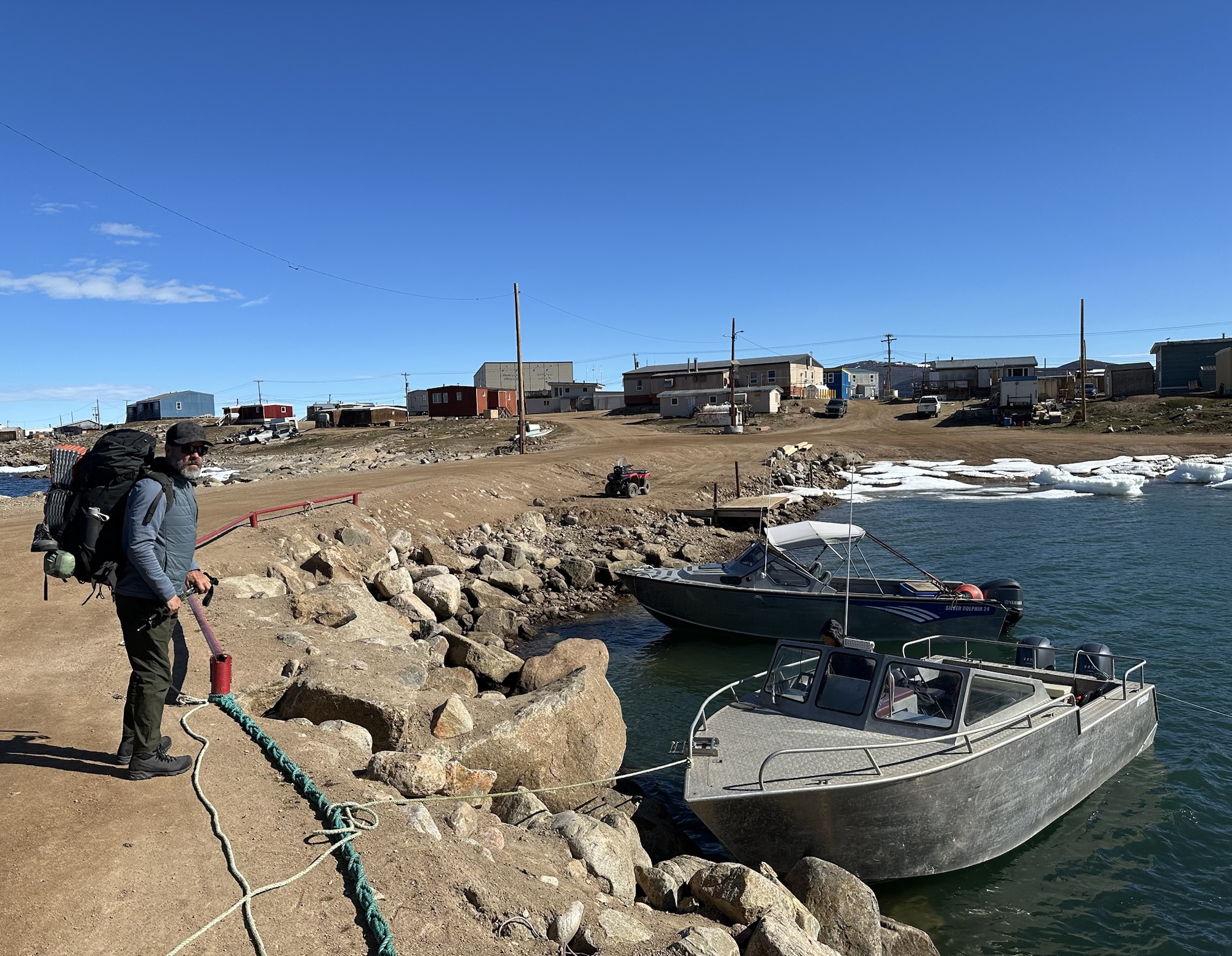
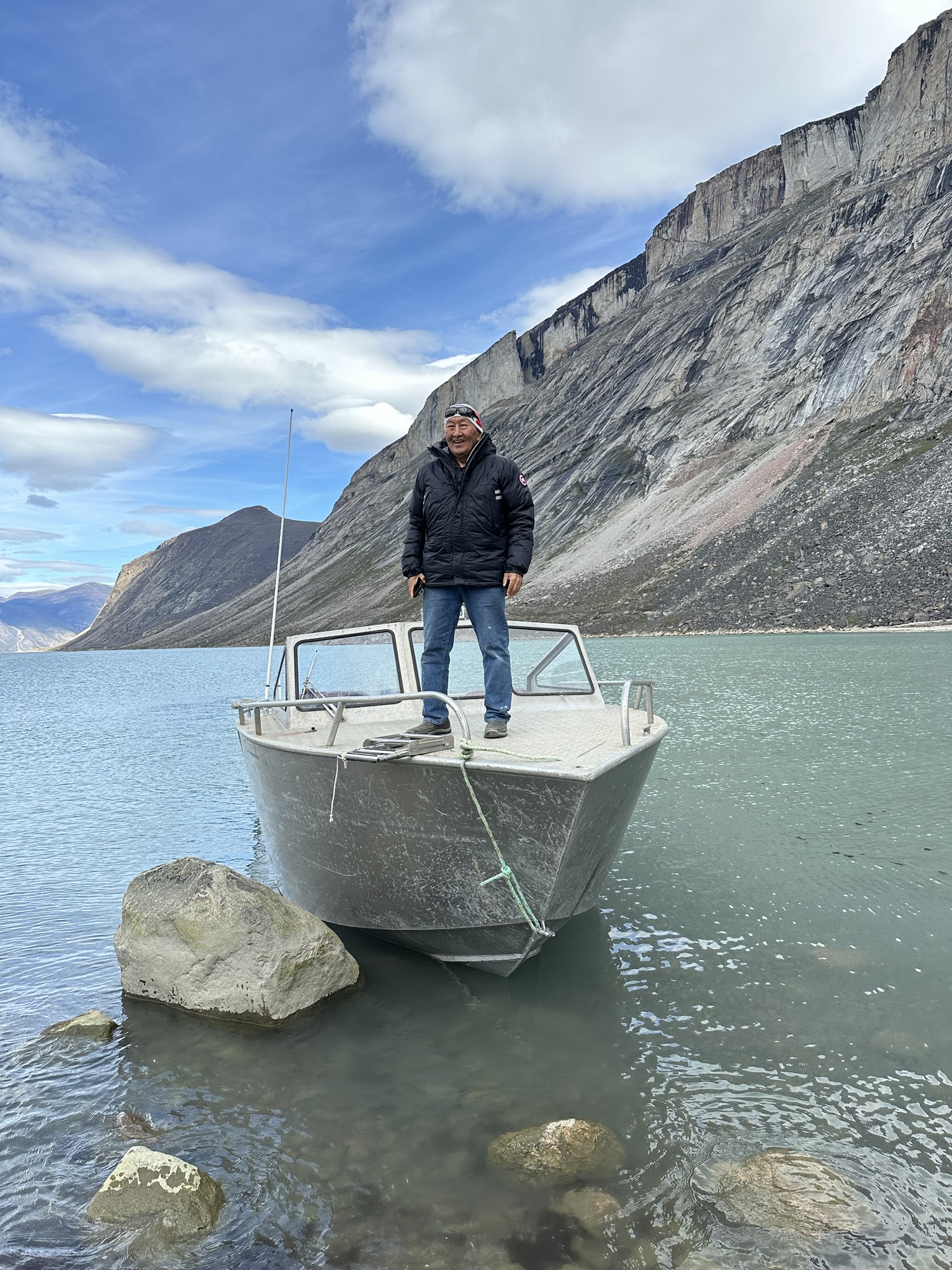
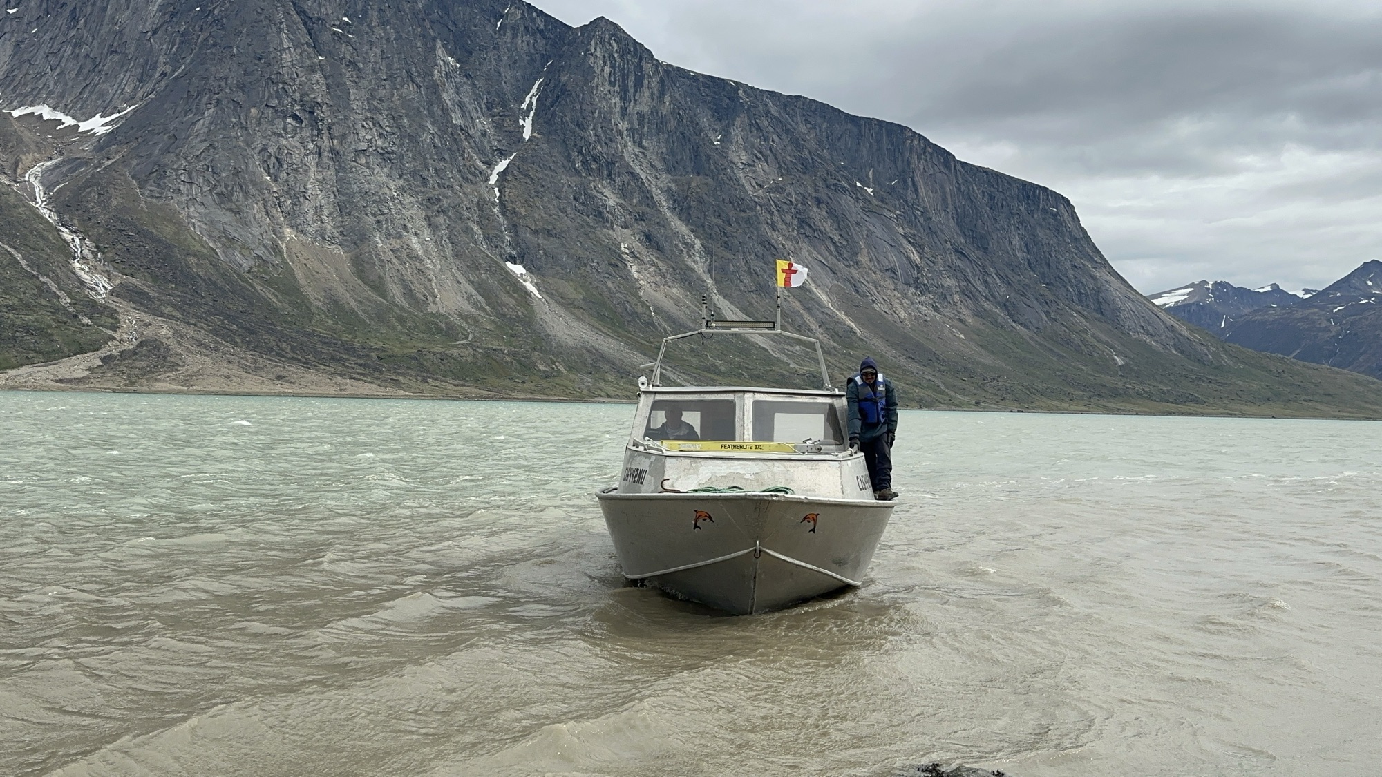
My hiking buddy Martin about to climb down and board Billy’s boat. The cost of this transport from Qikiqtarjuaq to Auyuittuq National Park in July 2026 was $340CAD per person.
Billy brought along the two pups that he’d gotten earlier in the year. He told us he got them to replace his old dog that was killed by a polar bear last winter. He said he heard a sound outside, went out and saw a bear standing over his dead dog, and then shot the bear dead.
Where we said goodbye to Billy. Billy is what you’d call a local expert. He’s THE guy that wildlife photographers and journalists from the BBC and celebrities like Brooke Shields go to when planning a trip to this area of the Canadian Arctic. He knows where the seals and whales and narwhals and polar bears are during each month of the year – the latter being our biggest concern on this particular trek. He told us that during the second week of July, there was still enough ice out on the water that the bears have very little reason to start heading inland. He said they’re all still out there feasting on seals at the moment. This was very reassuring. But he also said that there weren’t gonna be any mosquitoes in the park and we ended up getting eaten alive during the first 4-5 days, so it kind of had us thinking like, “Well, if he was THAT wrong about the mosquitoes, could he be wrong about the polar bears as well?” Thankfully he wasn’t wrong and we didn’t have any dangerous encounters with wildlife on the trail. In fact, beyond the occasional bird and rabbit, I didn’t see too many other animals around, which had me wondering – what did all those mosquitoes feast on when I wasn’t around?
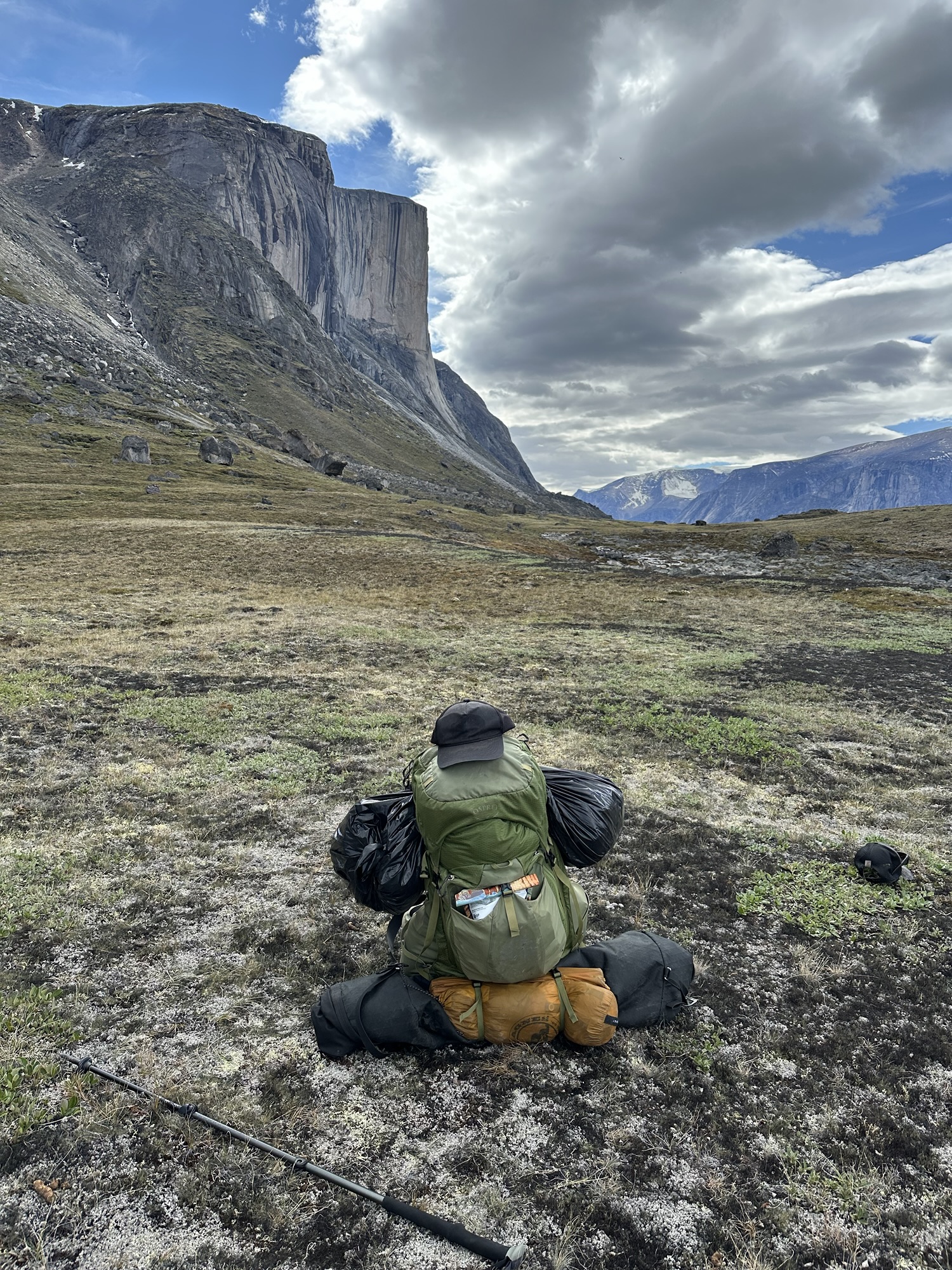
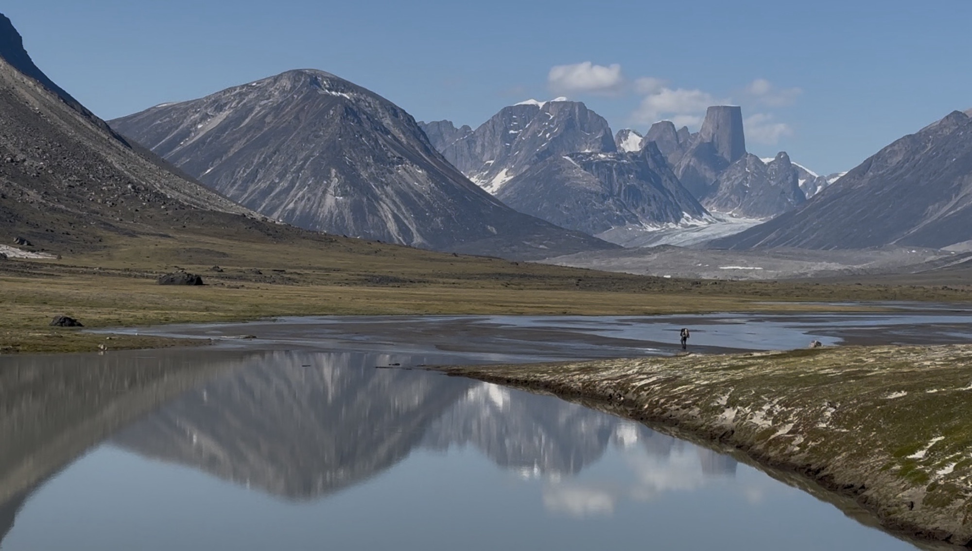
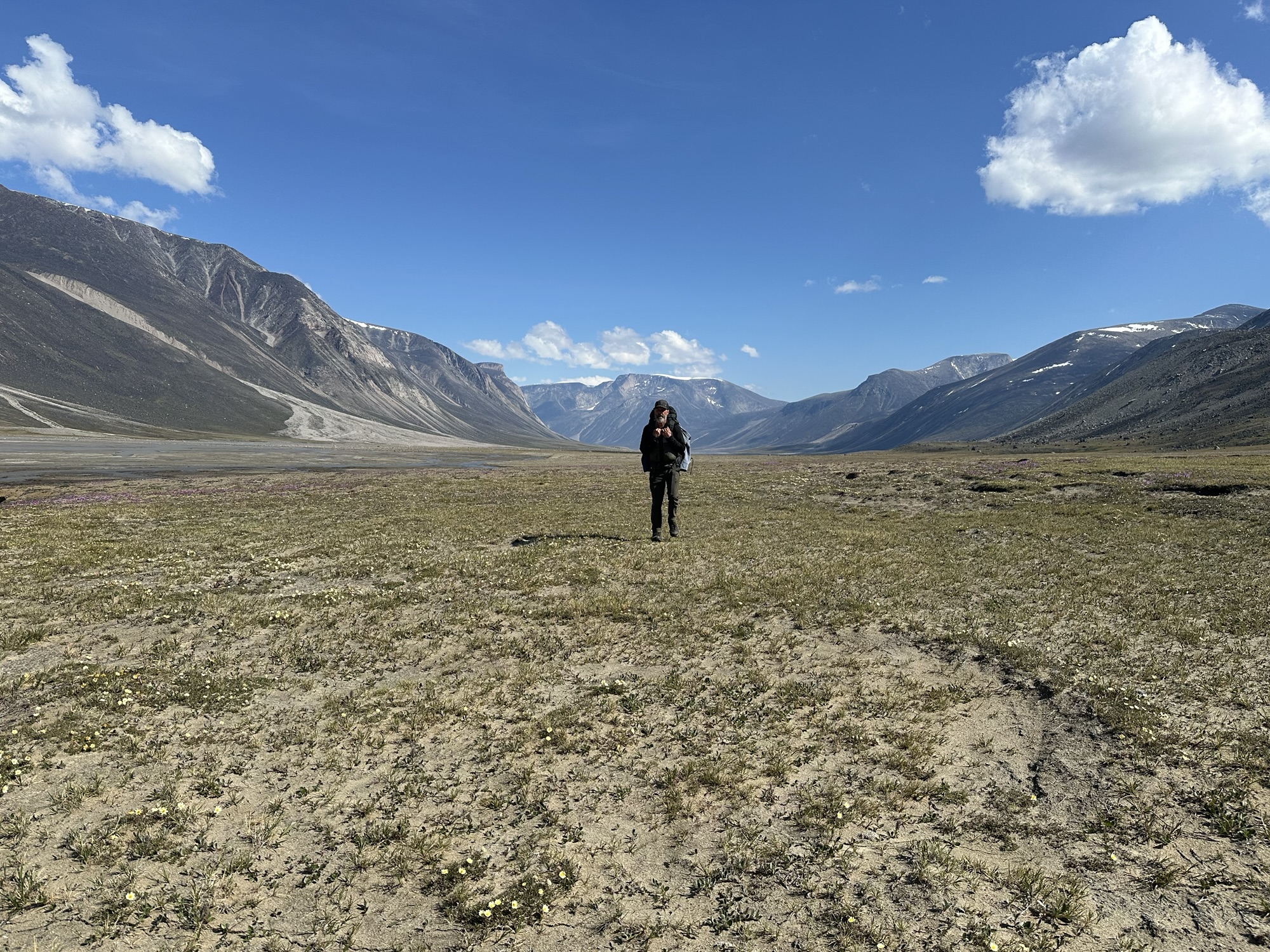
I don’t have an official weight of my backpack, but it was over fifty pounds at the beginning when fully loaded with ten days worth of food. This is where we started hiking. Up ahead through this valley. No official trail. Just kinda making your own path ahead. It was a really beautiful place, but in this article I’m not focusing on the visual aspect of the hike. For a more strictly visual experience, I recommend checking out the YouTube video I have embedded down at the bottom of the page. Here I’m just writing about some of the things that the video doesn’t explain.
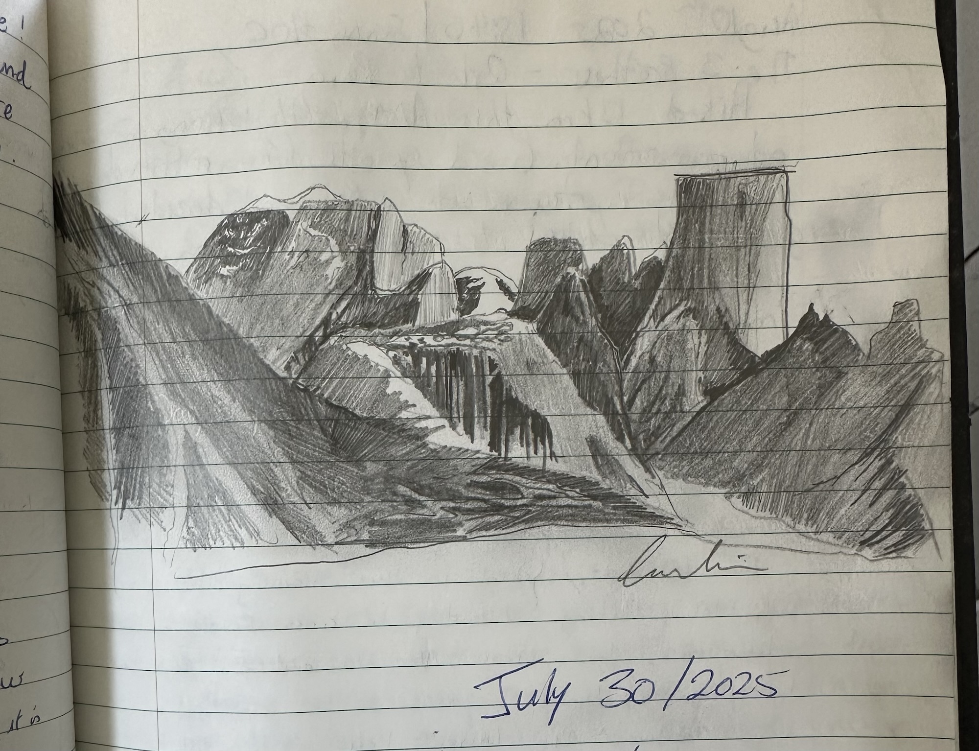
Along the way of the Akshayuk Pass hike, there are 9 emergency shelters. They’re pretty small, like the size of a tool shed in someone’s backyard, but they’re weatherproof and would be a great place to hole up if a polar bear was chasing after you. In each of these shelters is a log book where people can write about their experiences, leave tips for future hikers or draw stuff like this.
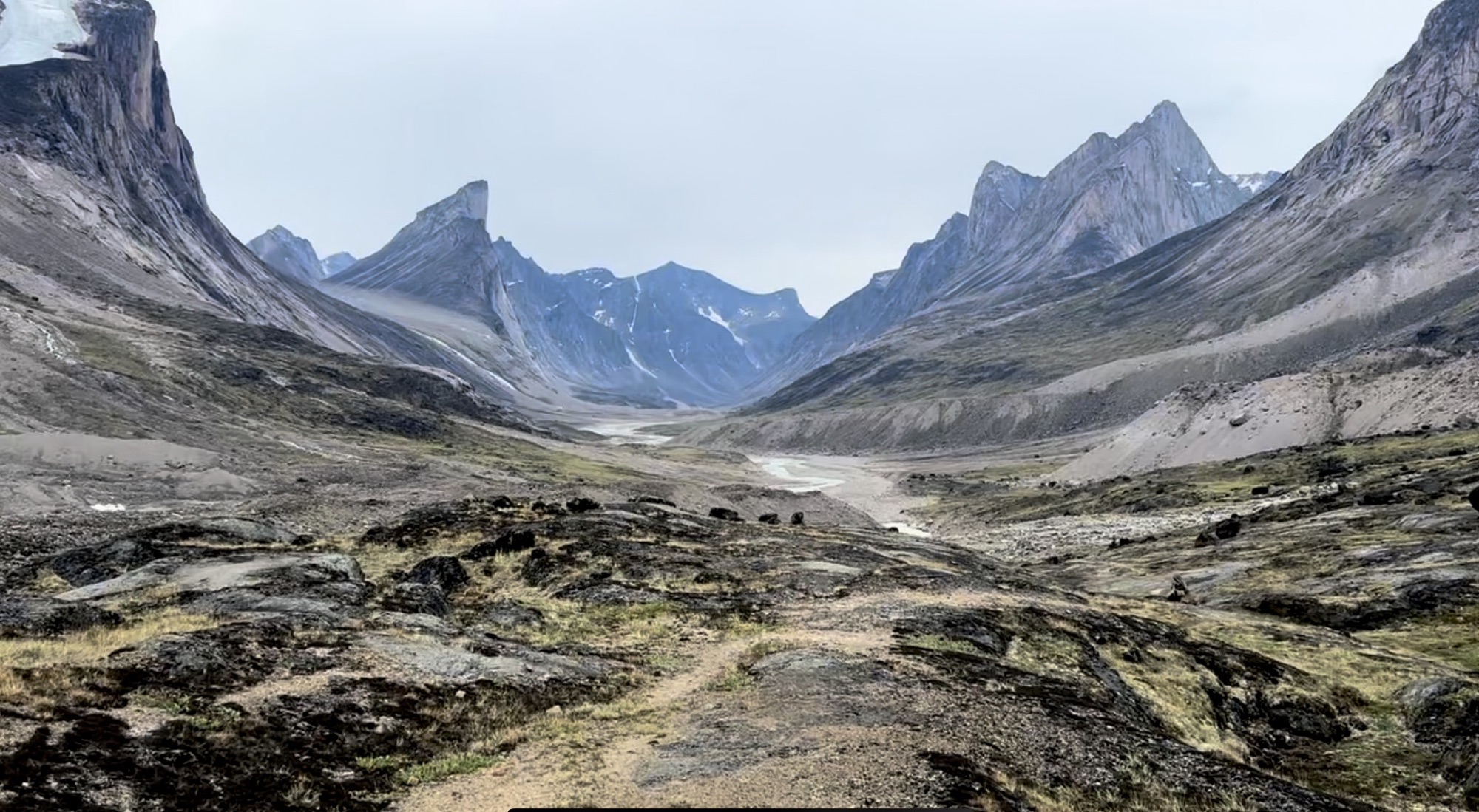
Real life version of Mount Asgard, as sketched in the previous photo. Some moments on the hike were like this – unimaginably serene. Others…
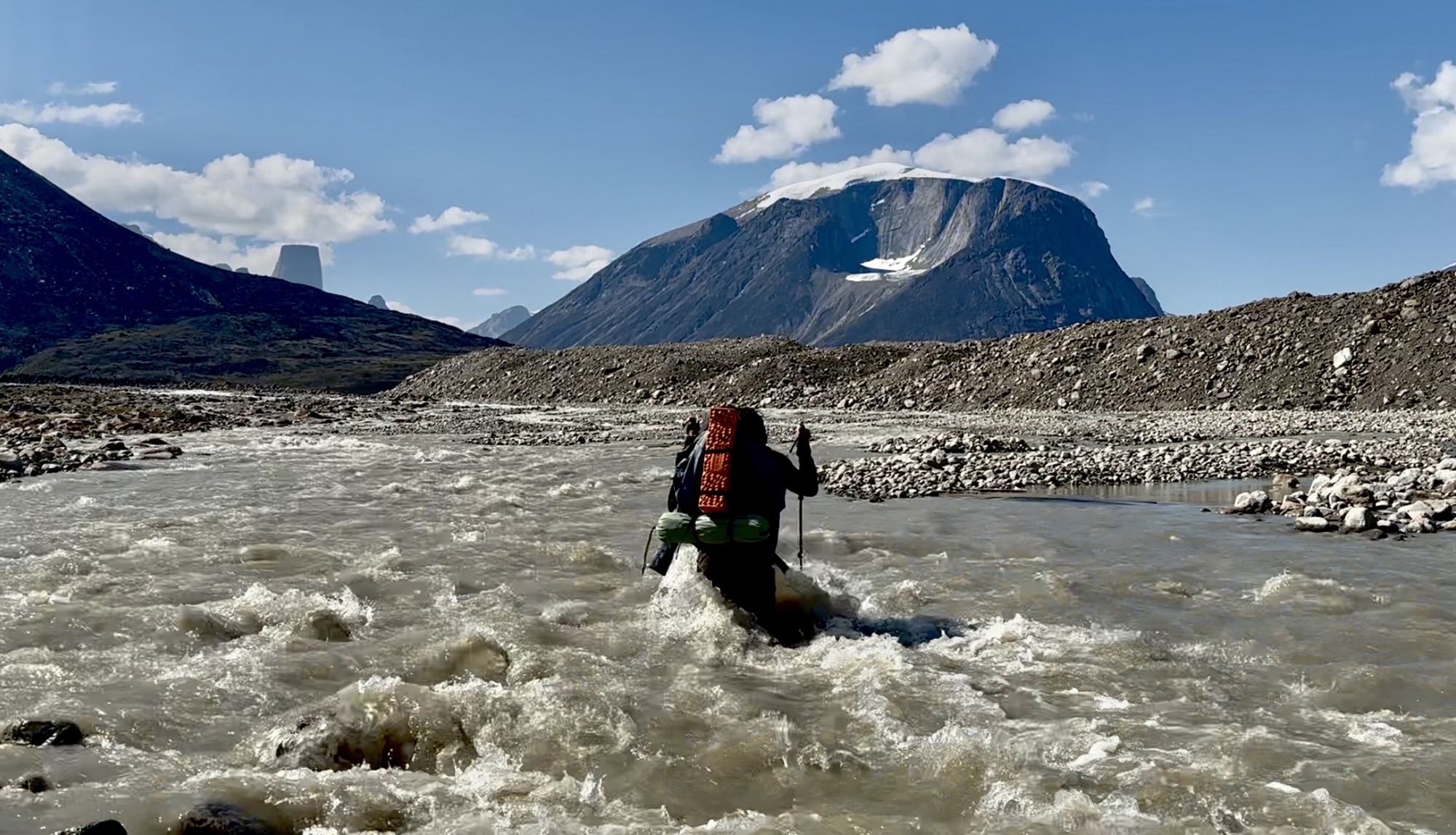
…not so much. Here’s Martin fighting his way across the mighty Owl River. Its stony uneven bottom and rushing glacial waters proved too much for the man and he was bowled over shortly after I stopped recording the video from which this screenshot was taken. Standing in the water about fifteen feet downstream from where he got knocked over, I helped Martin to his feet and back to the nearest “rock island” in the middle of the large braided river. “I’m really cold,” he said. “I wanna get in my sleeping bag.” “Were not doin that here in the middle of the river,” I replied. “The waters still might rise further as the day goes on. Let’s get you to the side and then you can focus on warming up. Gimme your bag,” I said. “I’ll carry it across to a dry spot and then I’ll come back and help you across.”
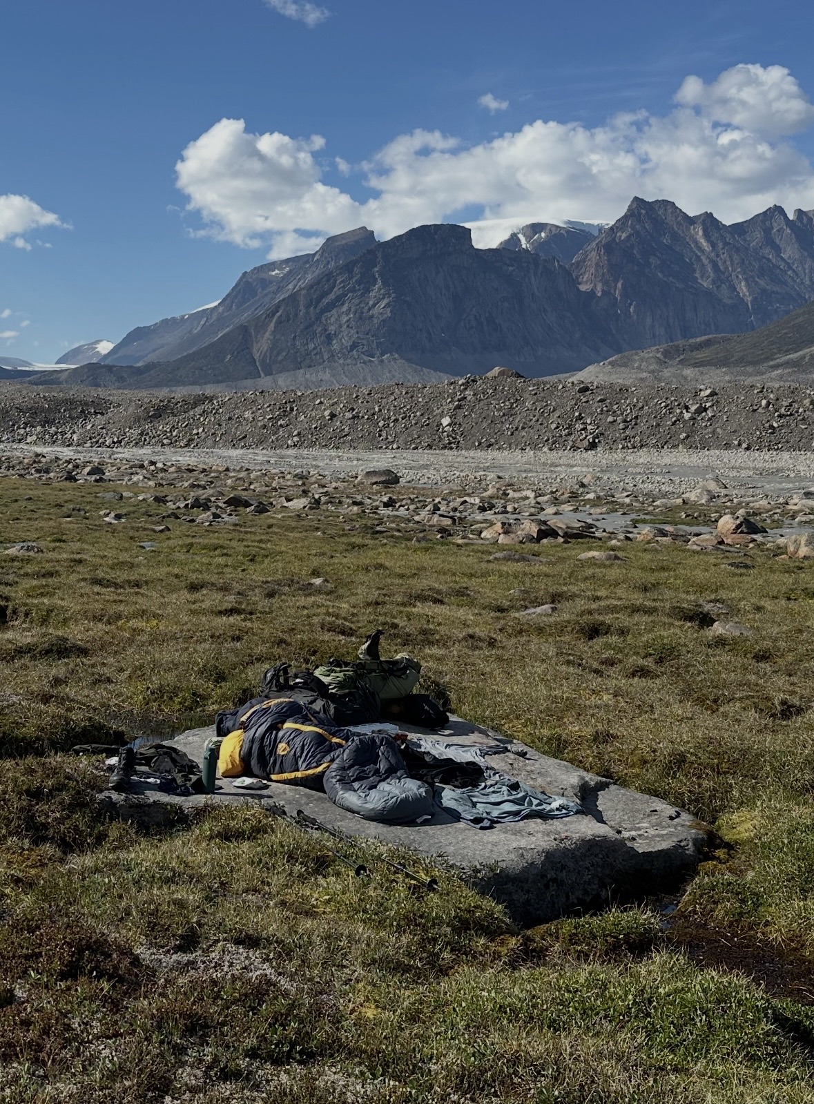
The area where we went to cross the river was kinda soggy and marshy, but we were lucky enough to find this big flat rock where Martin could get situated and warm up. Thankfully it was like 65 degrees and sunny on this day. If it was 40 with strong north winds as what a lot of the remainder of the trek ended up being, he might’ve been in serious trouble. But it wasn’t. And also, the contents of his backpack – including his sleeping bag – did not get wet. So, that was also a huge win. So, when we got here I told him to take off all his clothes and I gave him my rain pants and rain jacket which are like a greenhouse on sunny days. He climbed into his sleeping bag and I laid out his clothes in a way that they’d dry as quickly as possible. Martin spent the rest of the afternoon napping while I periodically checked in on him to see if he needed anything and to make sure he was safe from hypothermia. He was.
The next day we had our packs on and were ready to cross the river at 3:30am, as per the previously mentioned advice about the rivers being their lowest between 2am and 7am. It’s during this time when the 24-hour summer sunlight is at its weakest and not beating down on the glaciers up in the mountains that feed the rivers that flow through the valley below. Before we went to cross, Martin said to me, “I don’t wanna die today.” I said somethin like, “Yeah, well, me neither” and we went for it. Here he is around 5am after having successfully crossed, with the Owl River glimmering in the background. I wish I could say that things were gravy from here on out, but they weren’t.
From the beginning, Martin was having a hard time tolerating his camp food. Even though he’d tried eating it at home and didn’t have a problem with it, he said that out here it was affecting his GERD. So basically, he stopped eating meals and would just graze on snacks here and there throughout the day. While carrying a heavy pack over rough terrain, being in such caloric deficit quickly exhausted him. I tried to structure our days in a way that he could tolerate. I said, “Let’s walk for thirty minutes and then take a break for ten.” In the beginning, he’d keep up. He’d use the ten-minute breaks to sip water and eat a stick of beef jerky or some dried strawberries. But as he became more and more exhausted, when we’d stop for breaks, he’d just lay down and go to sleep. And after the break was up, I’d wake him and say, “Let’s go, put your pack on, let’s keep moving.” He didn’t like that. He saw me as some kind of slave driver. Equally, I didn’t like having to be the group dad. One time he openly challenged me about it. “Why’s this thing gotta be a death march?” he asked. “I wanna actually enjoy being out here.” I explained that I too would like to enjoy being out there, but that by going so slow and stopping early every day we’d already burned up all our contingency time and that if we don’t keep a strict schedule from here on out, we’re gonna miss our flights home. He acquiesced and we kept moving.
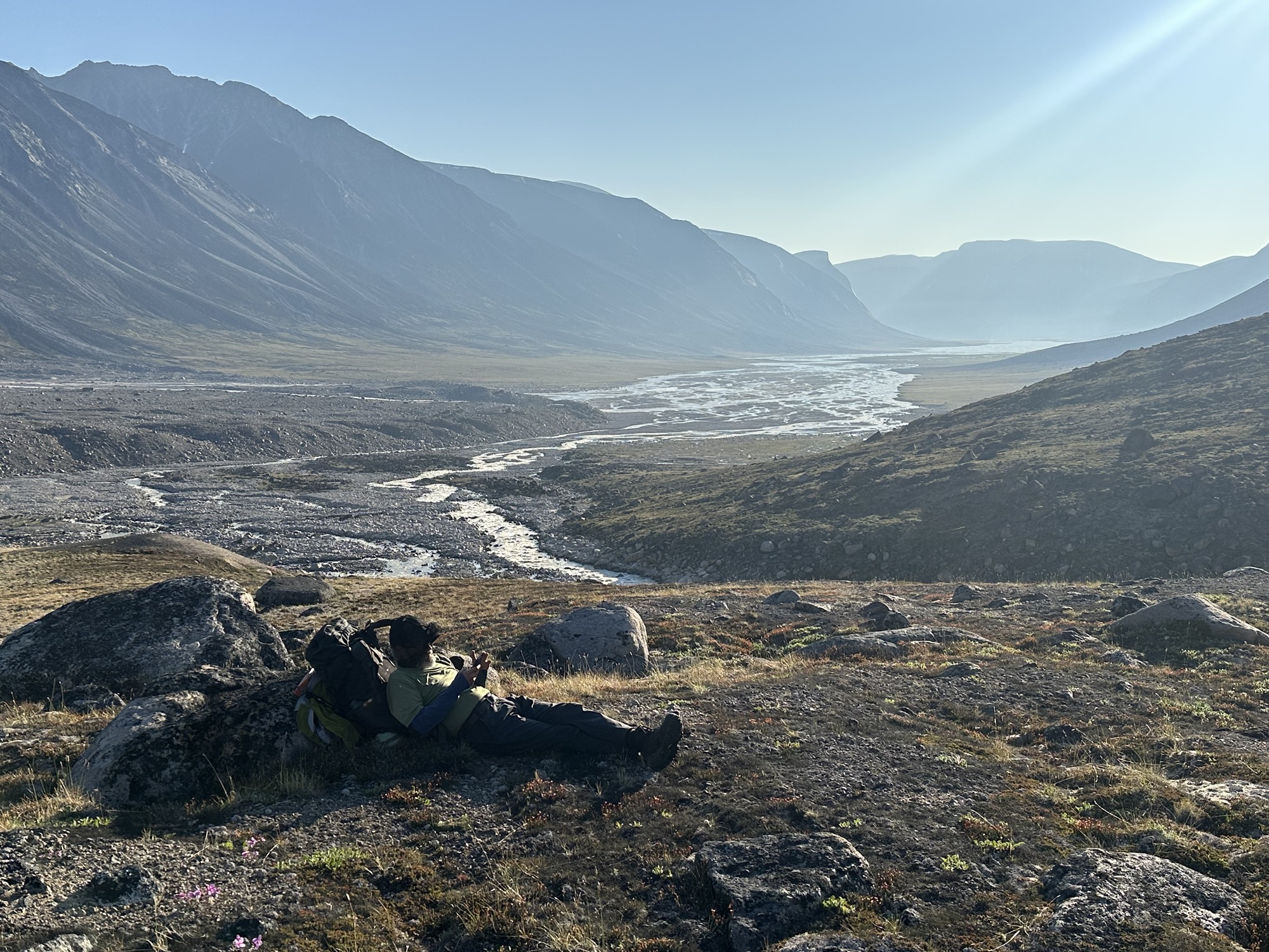
Eventually – right around the time we reached the area in the photo, about halfway between Summit Lake Shelter and Thor Shelter – Martin could no longer keep up, even when I was walking at half pace. I’d look back and wait for him to catch up, then I’d keep going and he’d fall behind again. I asked him if he wanted me to carry his pack. He said no. He said he’s gotta power through it himself. At this point, the weather had turned on us. It was cold and wet and windy. It actually felt kinda dangerous to be going so slow. I wasn’t generating enough body heat to stay warm. Somewhere about two kilometers shy of Thor Emergency Shelter, I looked back and noticed Martin had taken off his pack and laid down on the ground. My patience had run out. I walked back to where he was and told him to give me his pack. “Let’s go,” I said. “Get up. I’m getting you to the next emergency shelter and you’re getting helicoptered outta here.” “Fine,” he said, laying there, “call it in.” “We’re not doing it here,” I said, “it’s fuckin freezing out here. We’re going to the shelter. And I’m not calling it in, we’re doing it on your Garmin. Because after I get you to safety, I’m walkin outta here.” And so, we got to Thor Shelter at 6am. We’d started at 3 that day to do another risky river crossing during the shallow hours. Inside the shelter, I helped Martin get in contact with the emergency rescue services via his Garmin inReach Plus. He snuggled up in his sleeping bag and I went to fill up his water bottle. Since he hadn’t been eating his food, he had enough to last him a week, if need be. I shook his hand and said, “Sorry for having invited you to do a hike that has left you in such a predicament. I wish you the best of luck.” And I left. By 9am I’d reached Schwarzenbach Falls. By 12:30 I’d reached Ulu Emergency Shelter. At 3pm I was picked up in a boat by Peter Kilabuk at Overlord West and taken to the village of Pangnirtung. Apparently there weren’t any helicopters available in Qikiqtarjuaq and Pangnirtung at the time and they’d have to bring one in from Iqaluit for the rescue. The weather was too rough over the Cumberland Sound that day for the chopper to fly up and come get him out they said, so he’d have to wait. The next morning I caught the first of my two Canadian North flights back down to Ottawa. I then spent the afternoon walking around Iqaluit waiting for flight number two. That evening around 8pm, I got a satellite message from Martin saying that he was safe and sound at a hotel in Pangnirtung. He’d missed his flights back down south, but the helicopter rescue didn’t cost him a dime. The next morning, I flew from Ottawa back to Chicago.
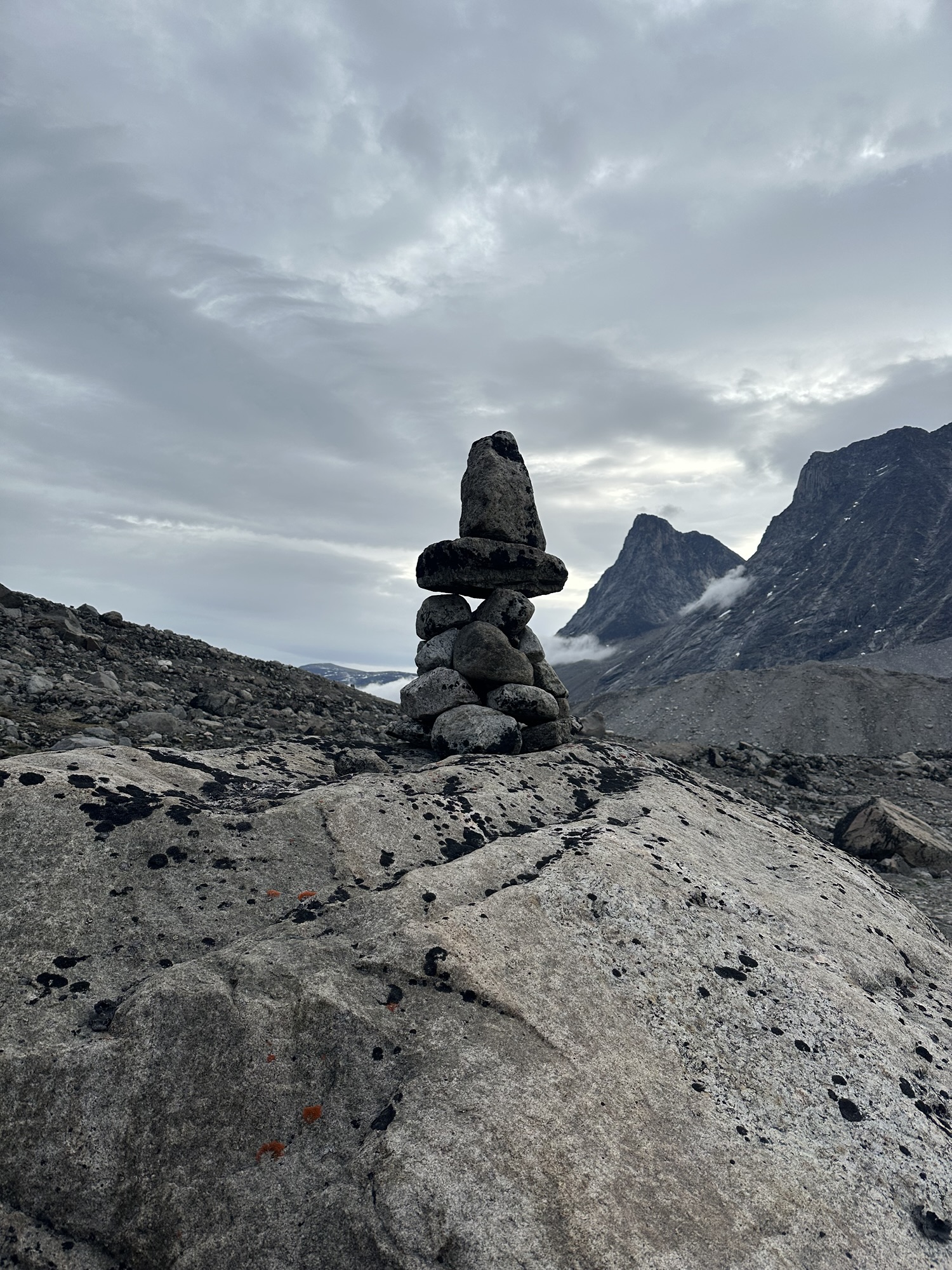
This style of stone cairn is known as an “inukshuk.” They’re supposed to be shaped like a man and are known as the signposts of the Arctic, built by Inuit for navigation and to assist in hunting. On the first half of the trail between where Billy dropped us off all the way up to the Owl River crossing, I didn’t really see any inukshuk. I definitely saw a lot more of them starting around Glacier Lake onwards. That half of the trail I guess isn’t as popular. Since Pangnirtung is more of a “tourist town” (if you can call it that), I suppose more people get dropped on the southern portion of the trail, spend a few days walking around there along the Weasel River maybe up to Summit Lake, then turn around, walk back, get picked up in the same spot where they were dropped off at and get taken back to Pang.
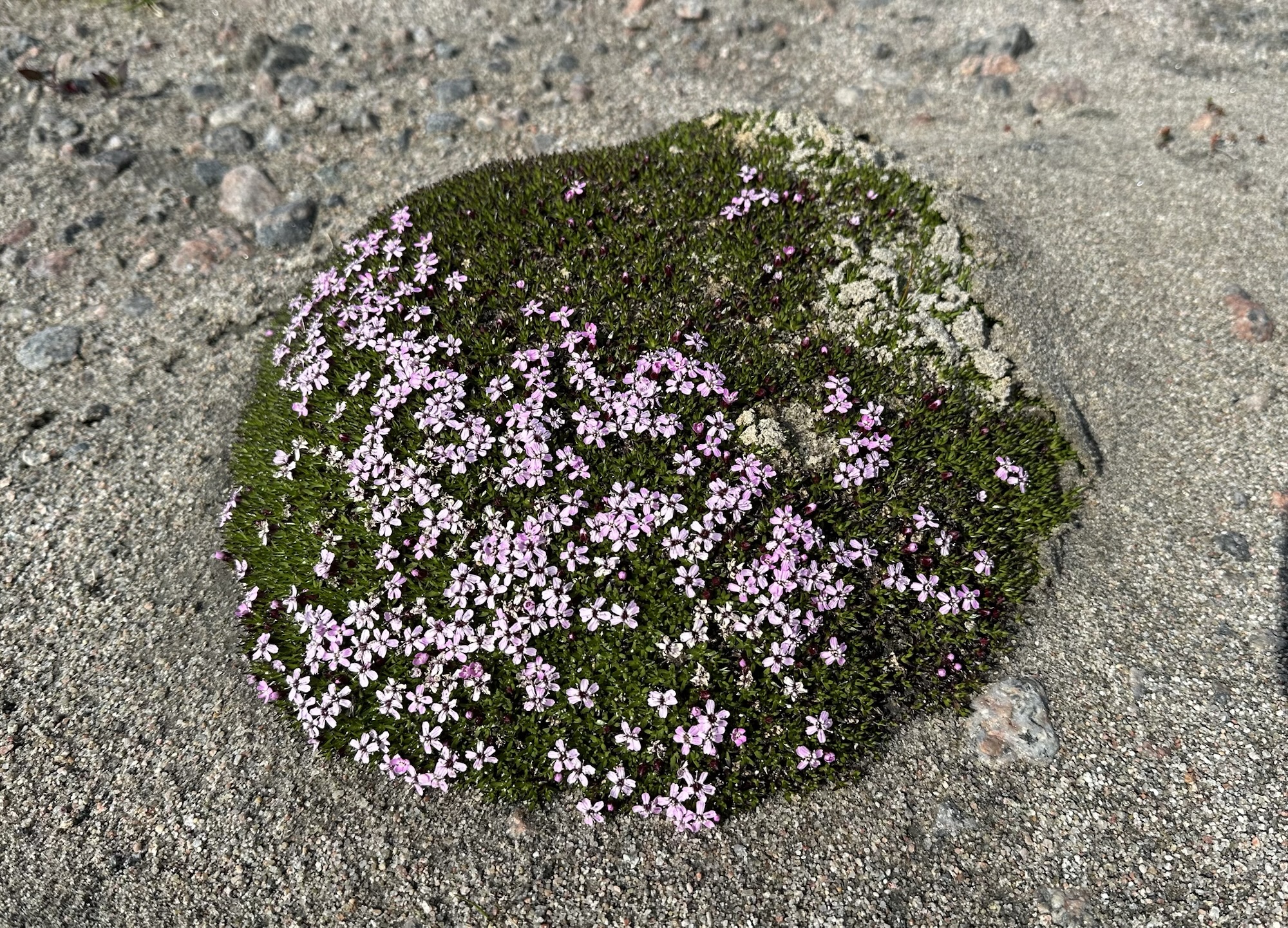
Decent amount of interesting flowers throughout the trek. This thingy here is known as moss campion
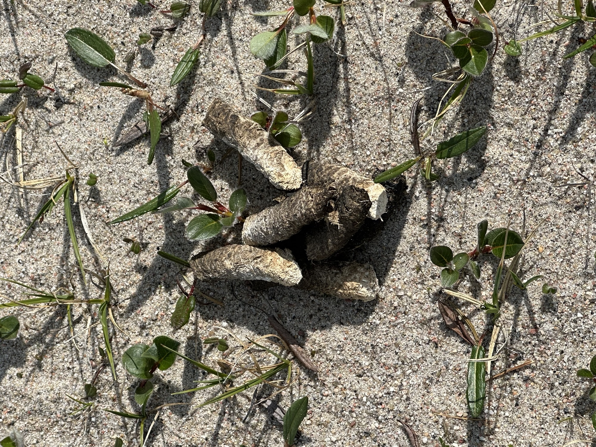
Bird turds the size and shape of Cheetos. Sprinkle some orange dust on these puppies and you’d have me fooled
I’d contacted Peter Kilabuk on my Garmin inReach Messenger to arrange this 3pm boat pickup at Overlord West. Since it’s a much shorter ride, his prices are cheaper than those of Billy Arnaquq coming in from the north. As of July 2026, it’s $150CAD per person.
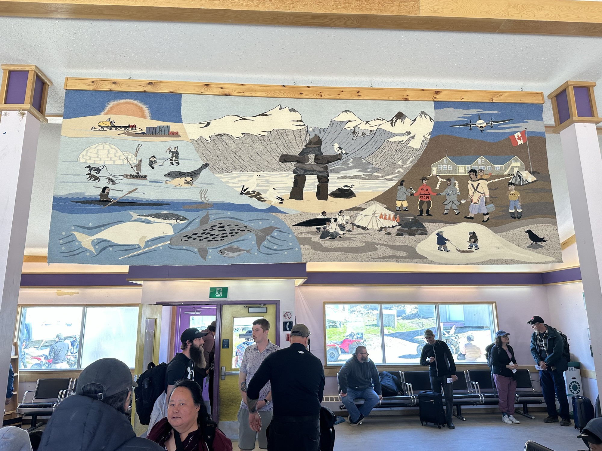
Pretty cool Inuit art piece at the Pangnirtung airport
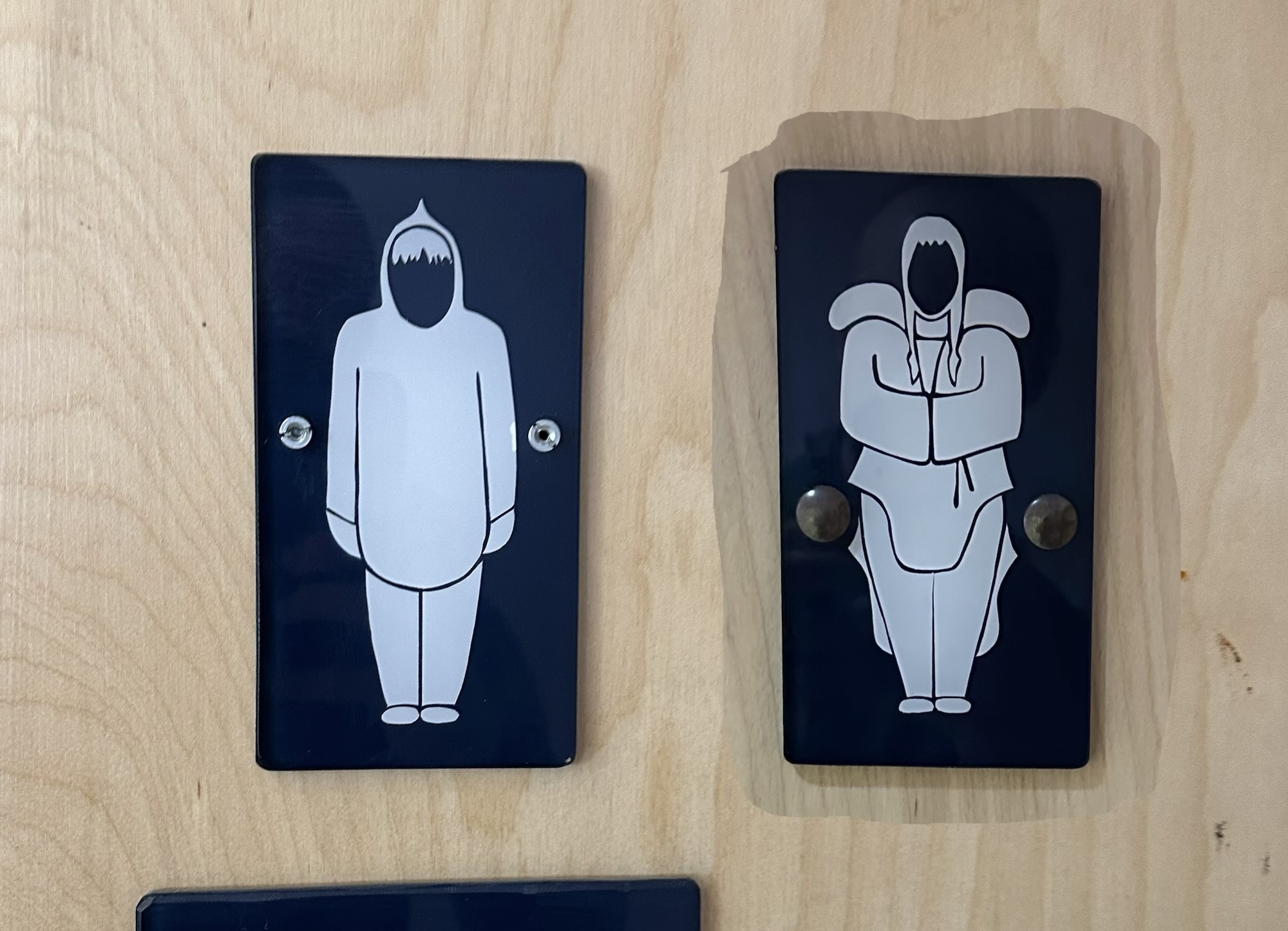
Men vs. Women bathroom symbols at the Pangnirtung airport
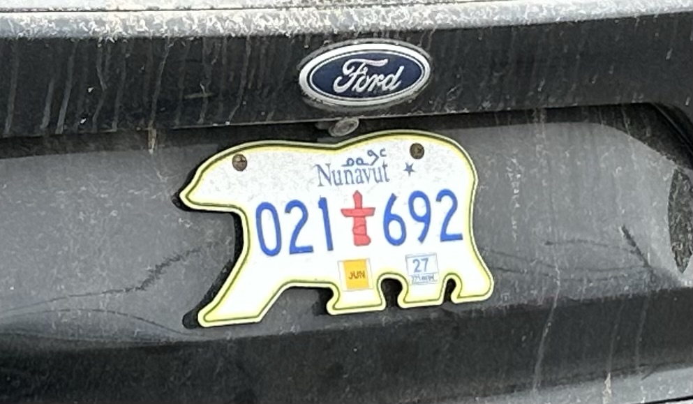
Iqaluit is the capital of the territory of Nunavut and I saw this bear-shaped license plate while wandering around there waiting for my flight back down to Ottawa. Was a pretty cool town to spend a few hours in. I saw people playing softball and ate an awesome Arctic char (type of fish) poke bowl at this restaurant called the Black Heart Café. Also went to the supermarket there and got a bunch of snacks to eat while waiting for my plane. One thing that sucked though was that I didn’t have any cell service up there and they didn’t have any WiFi service at the airport. When I asked one of the security guards why not, he said they used to have WiFi but that it was attracting too many homeless people, so to get rid of the homeless people they got rid of the WiFi.
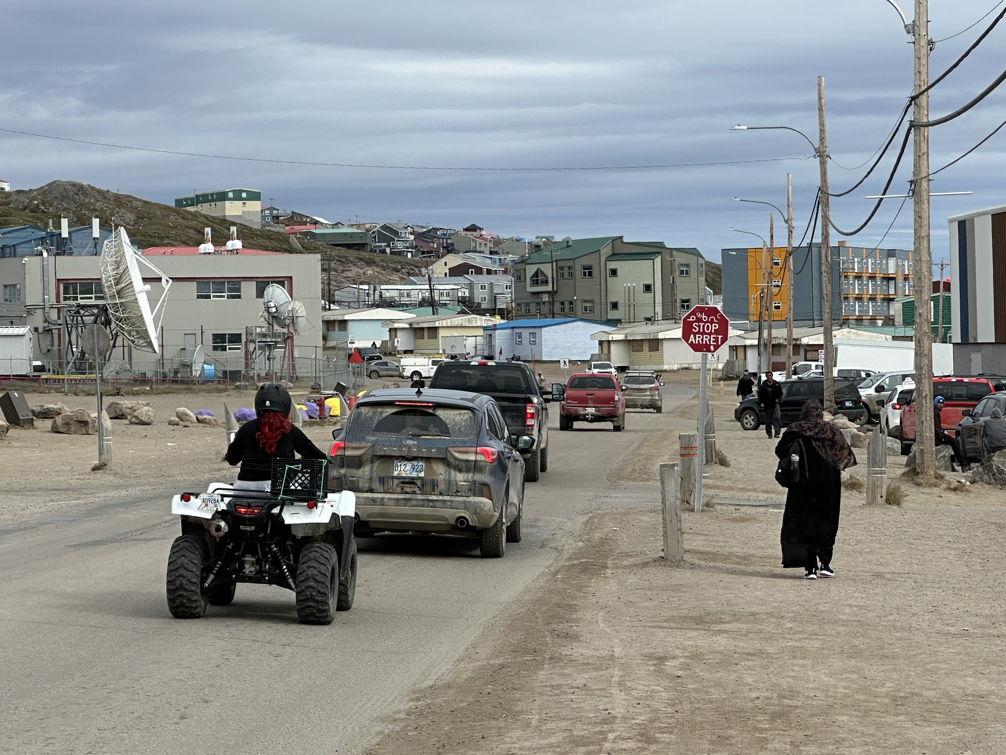
Iqaluit was a pretty diverse town. Walking on the sidewalk in front of me was a woman in hijab that looked like she was from the Horn of Africa. Made me wonder how fasting during Ramadan works if said holy month happens to take place during the summer when they got 24 hours of sunlight up there. Without sunset, they’d never be able to break their fast, right? I didn’t have the balls to ask that lady in front of me how it works and, like I mentioned, I didn’t have access to the internet at the time to look up the answer, but this wasn’t the first time I’d pondered this conundrum. I think I remember reading in the past that Muslims who find themselves in that particular situation end up fasting and breaking fast at the same times they do it in Mecca. Makes sense, but could be bum information, so don’t quote me on that.
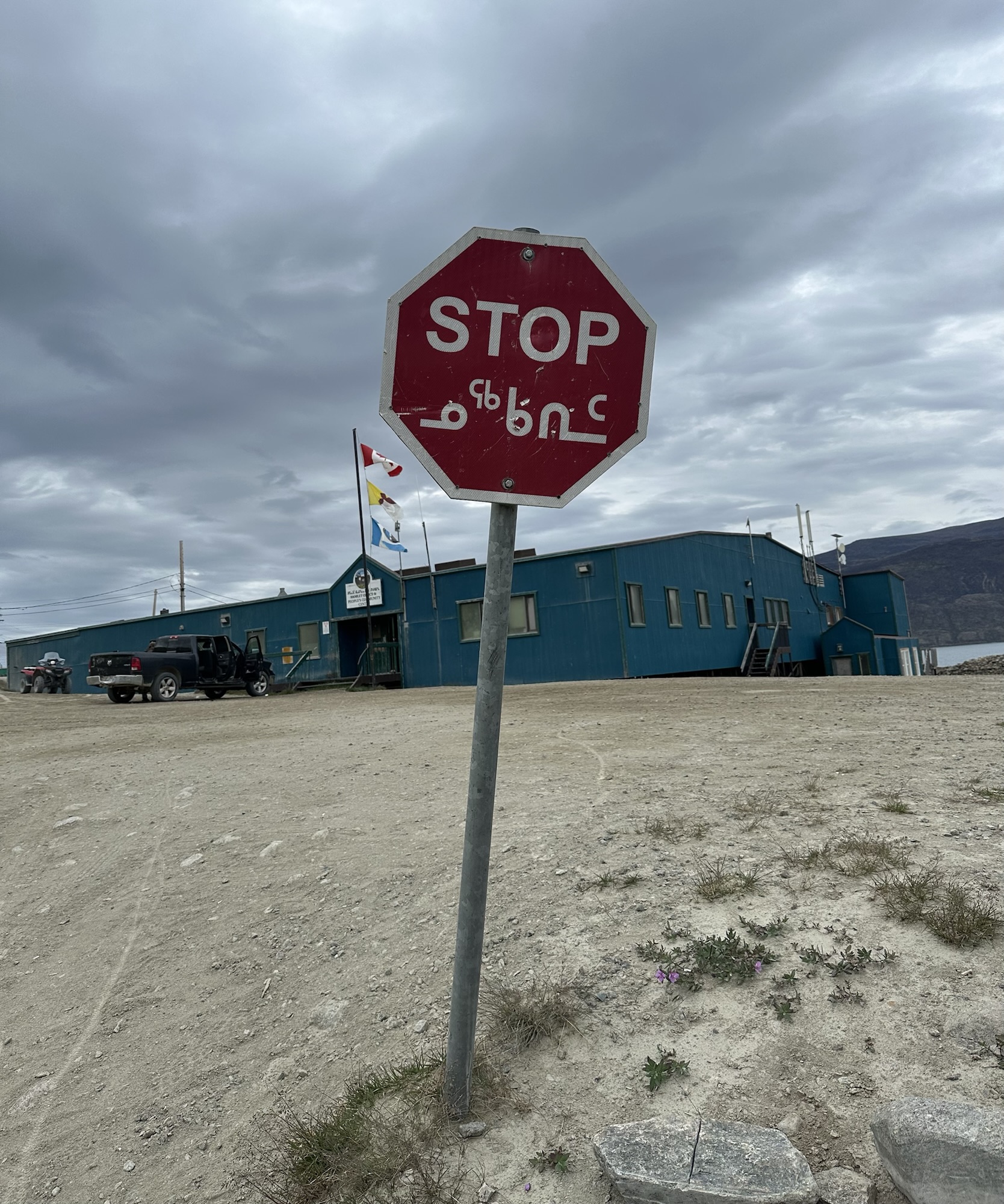
Inuktitut syllabics are crazy lookin
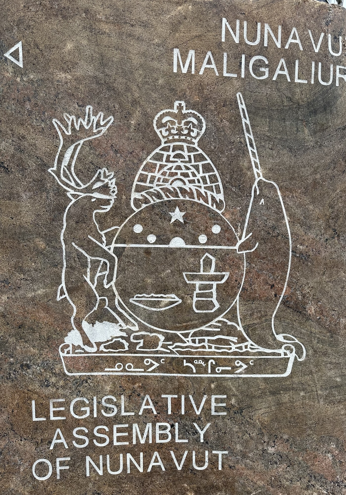
The symbol that represents the Legislative Assembly of Nunavut’s got it all. Igloo up top, some inukshuk representation in the middle, a reindeer on the left, and a crazy creature that I can’t even believe exists on the right – the narwhal. Known by some as the unicorn of the sea, the spiraling tusks sticking out the front of narwhals’ heads can grow up to eight feet in length.