NO, just no! Also, check out the “reservado” sign. I like how someone etched wheels onto the cane of elderly man to make it look like a skateboard. The Mexico City Metro, where this was taken, is the second largest metro system in North America after that of New York City. It opened in September of 1969 and serves about 4.6 million riders a day.
Los beatles
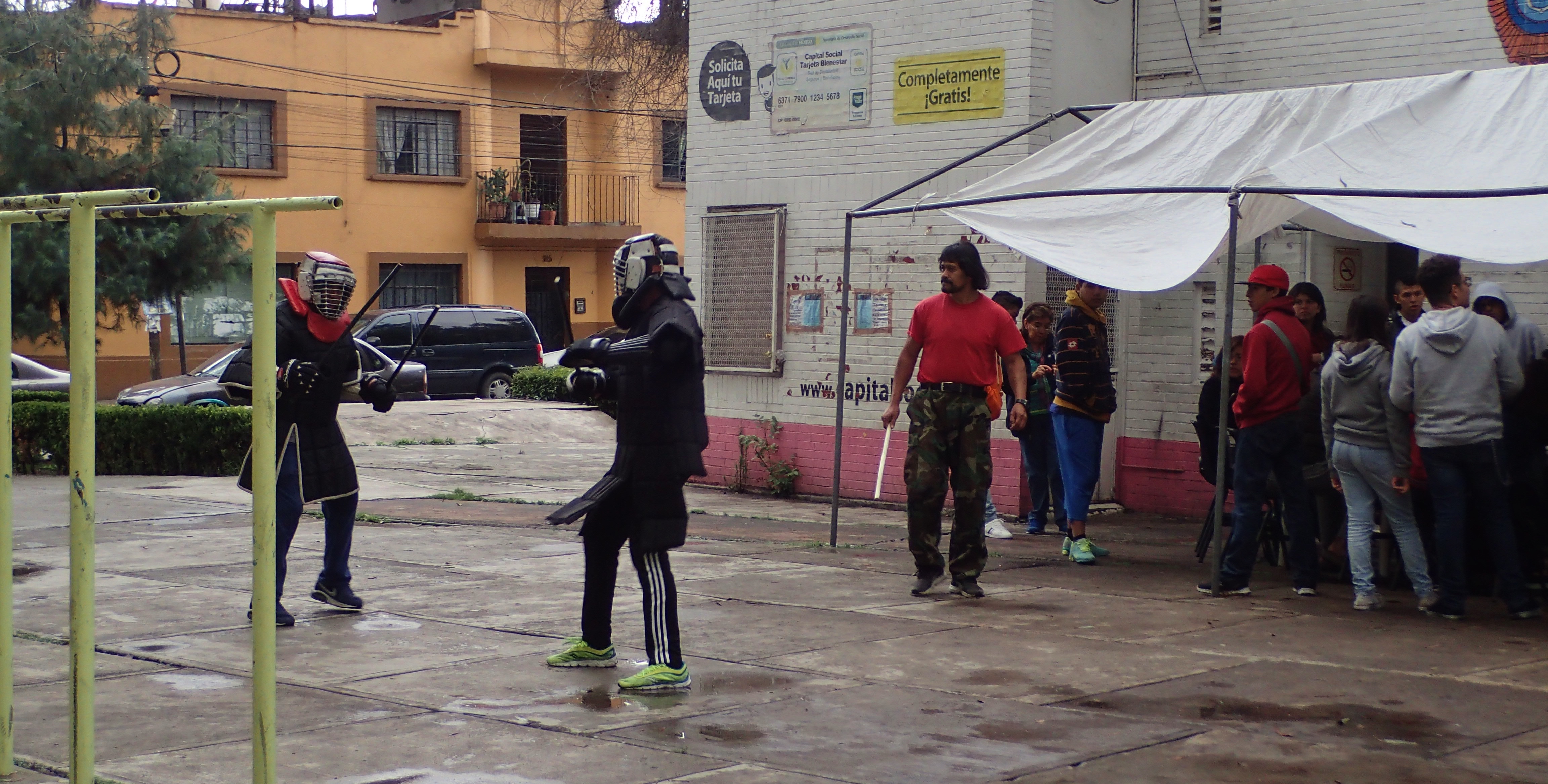
Here in the Chabacano neighborhood of the Mexican capital had been this park where I liked to work out and one Saturday morning I happened upon these guys beating the shit out of each other with sticks.
The guy in the red shirt was the instructor and invited me to partake in the activities the following morning. While I didn’t get to put on the gear and spar like these fellows, I got to run through some basic drills and it turned out to be a pretty interesting experience.
I think it’s a martial art called “arnis” originating in the Philippines, but don’t quote me on that
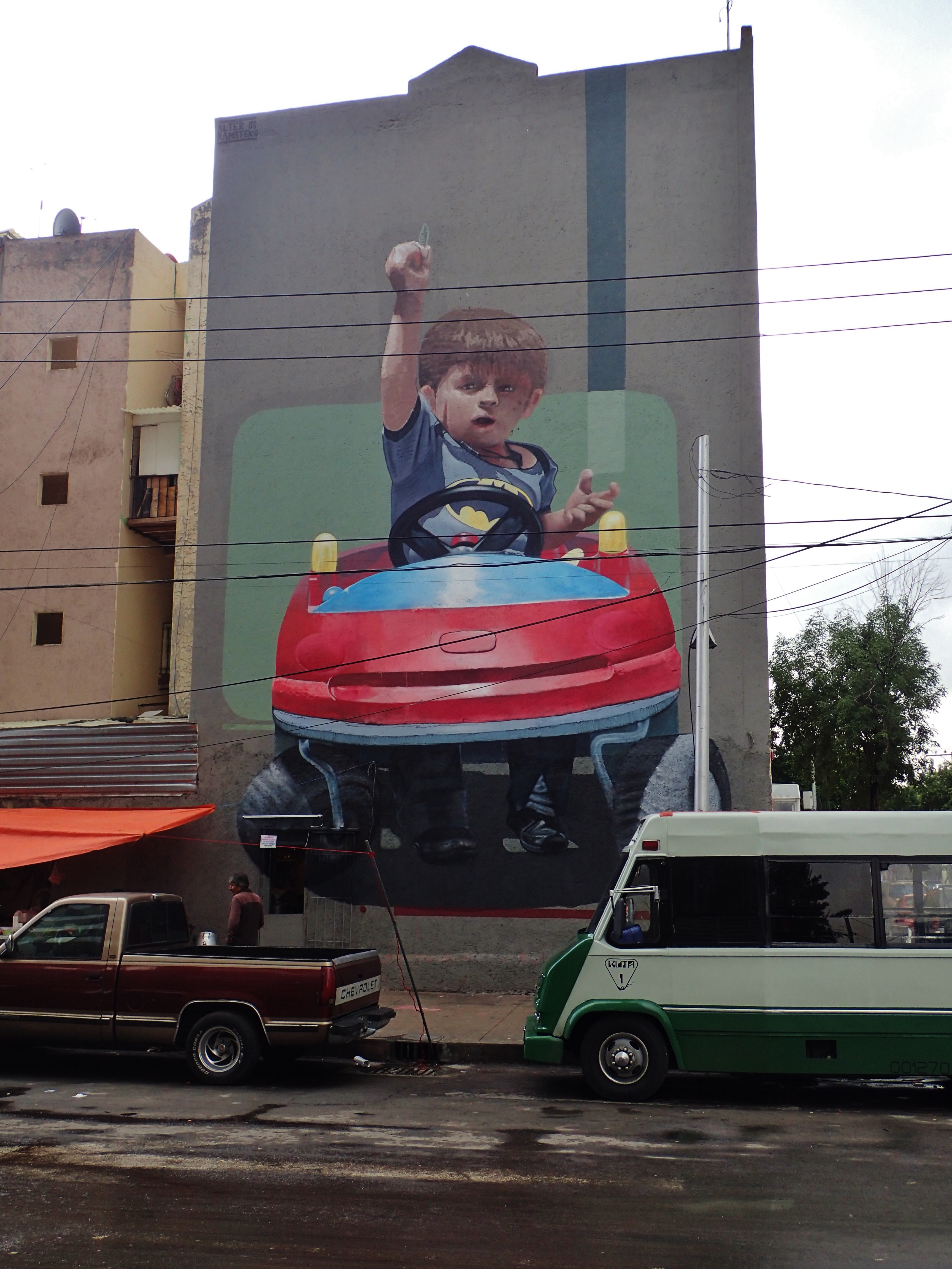
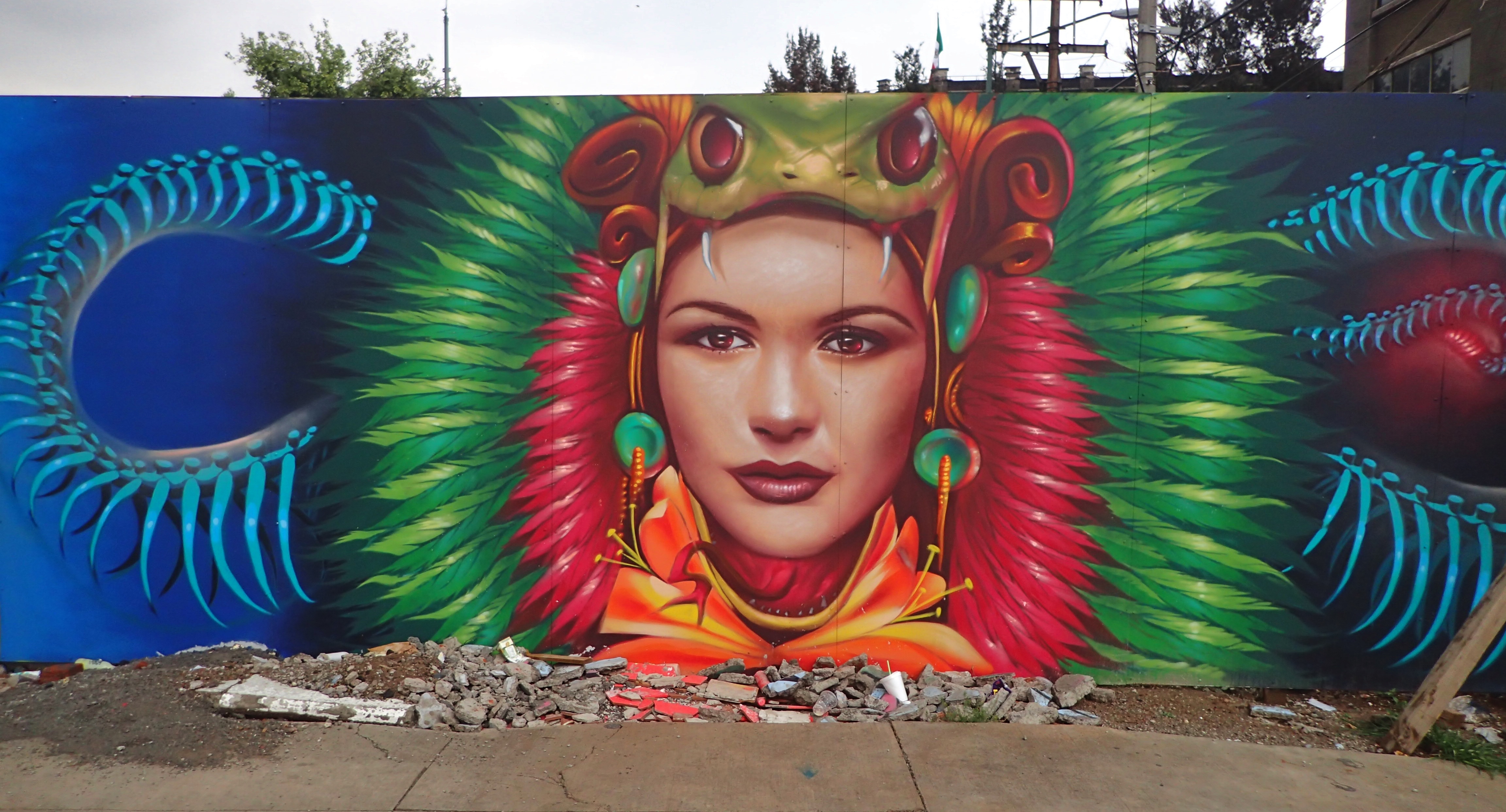
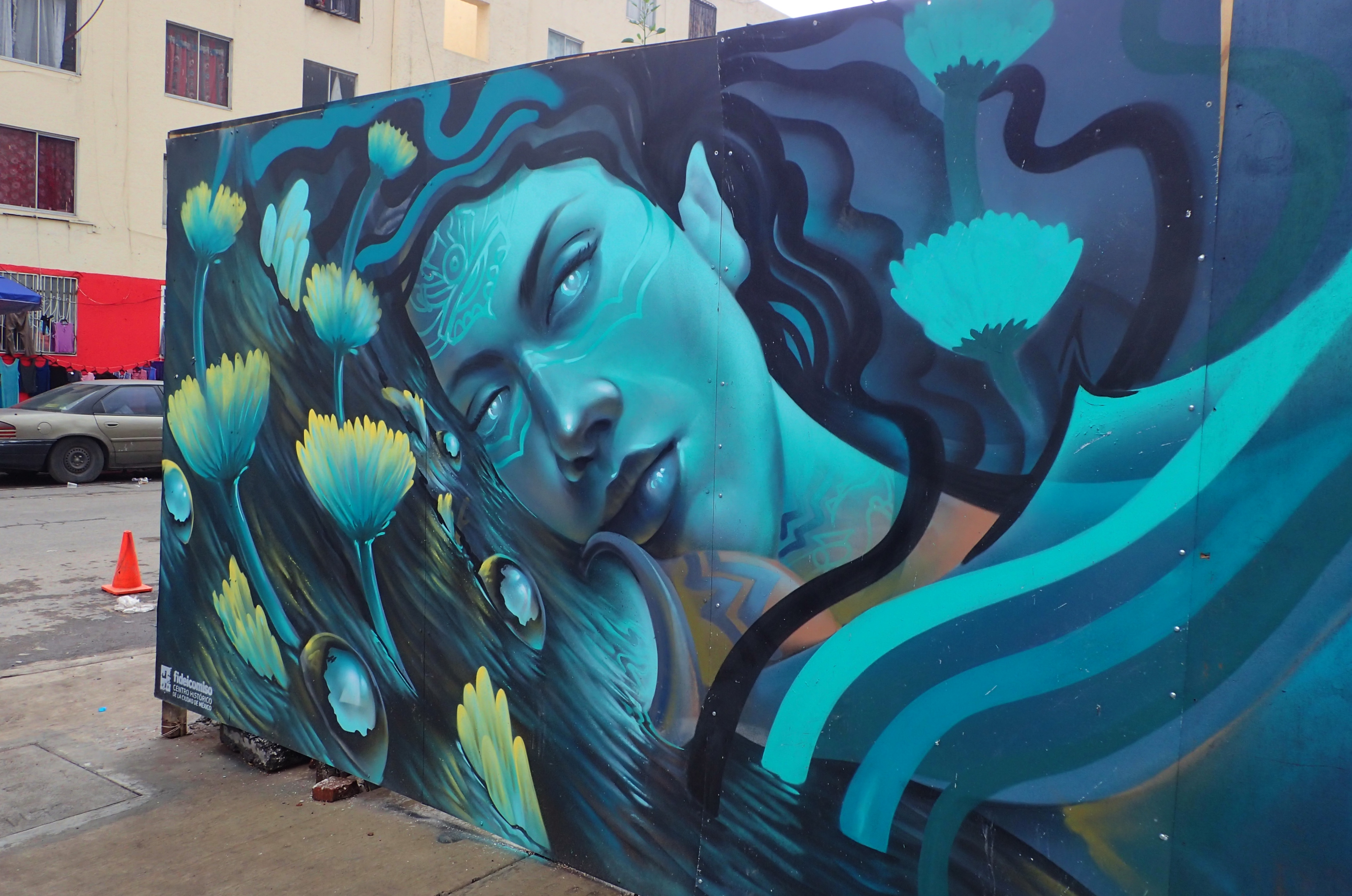
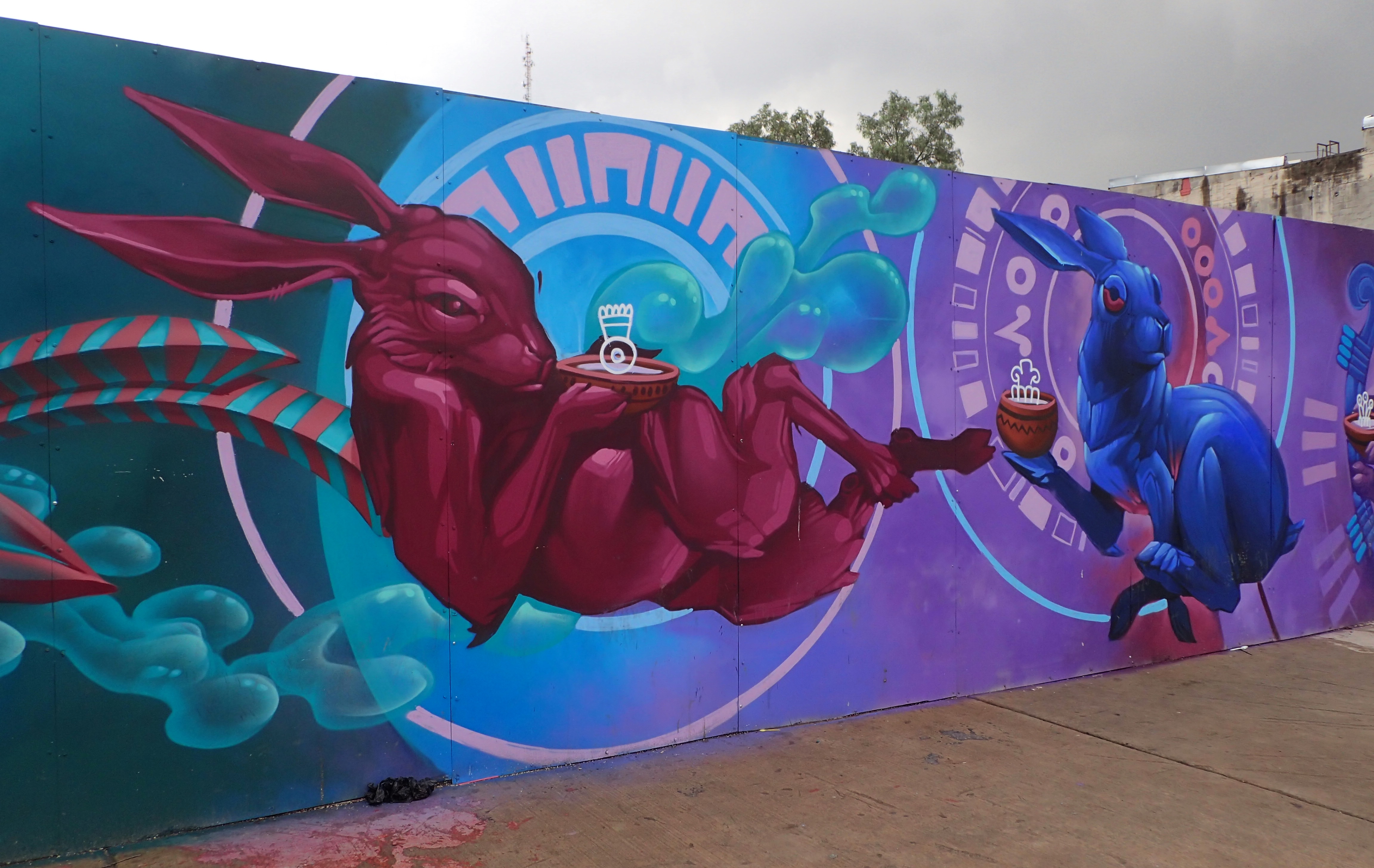
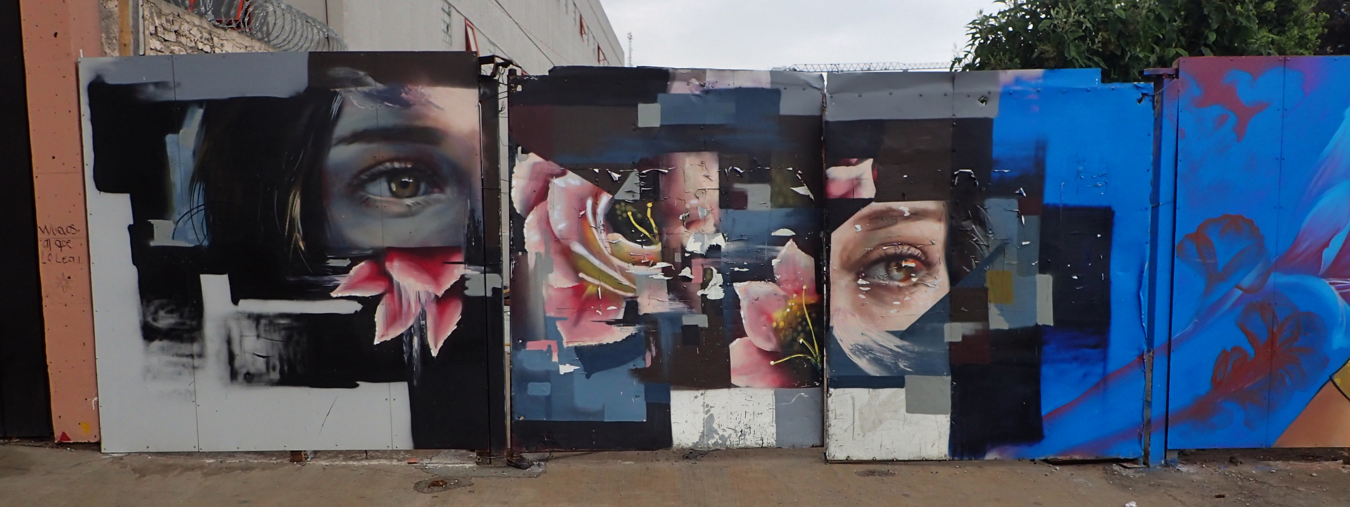
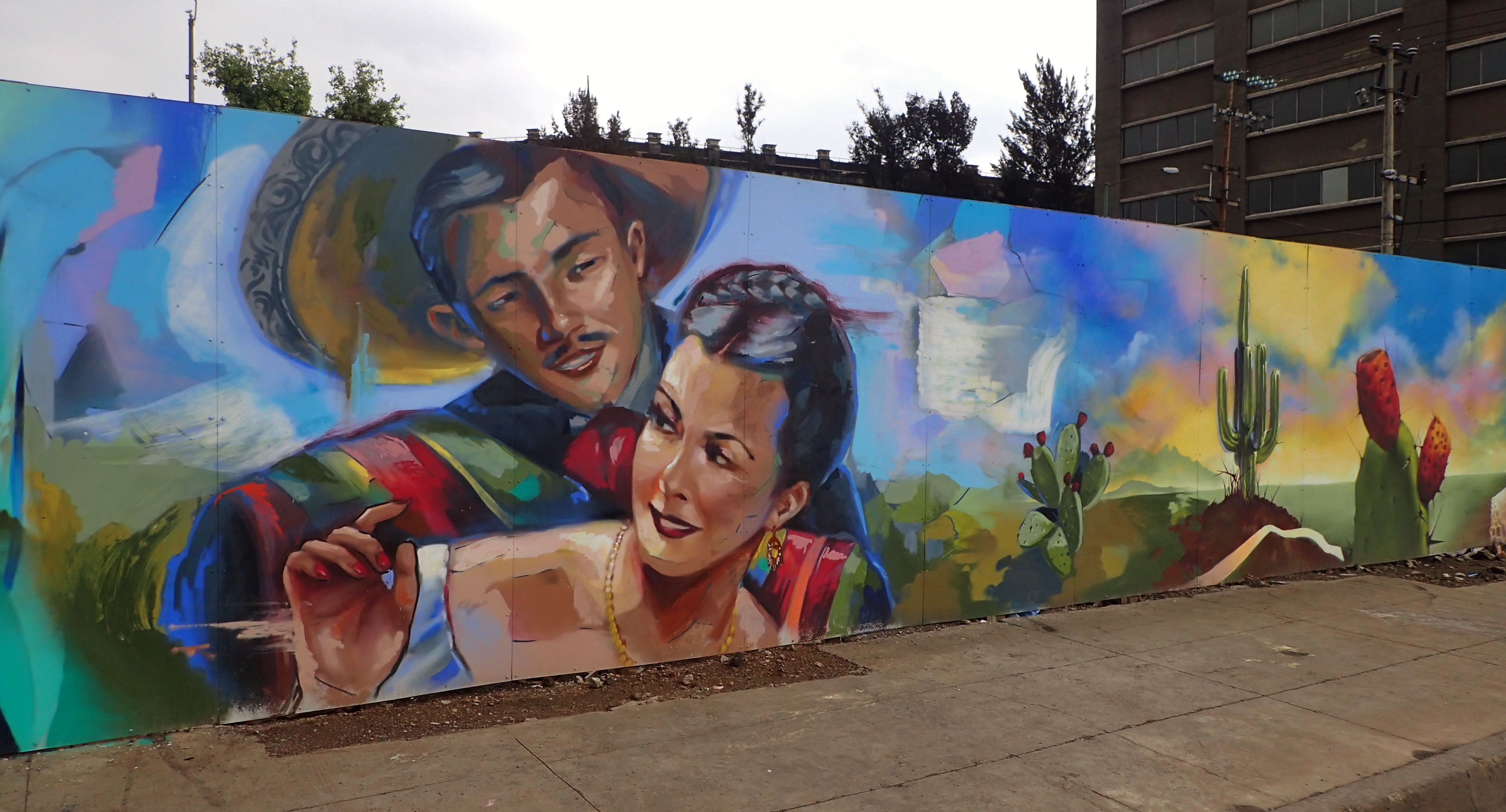
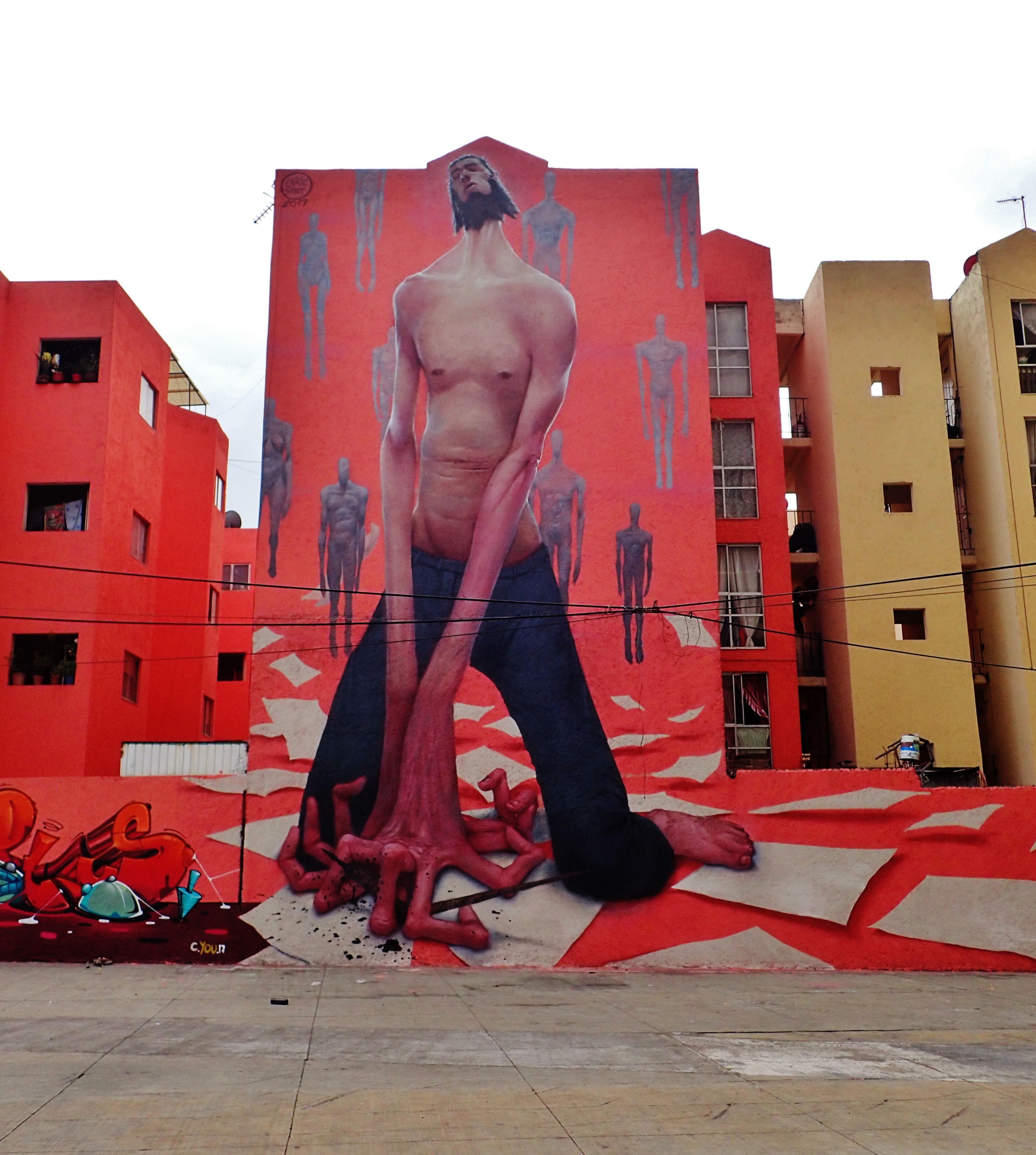
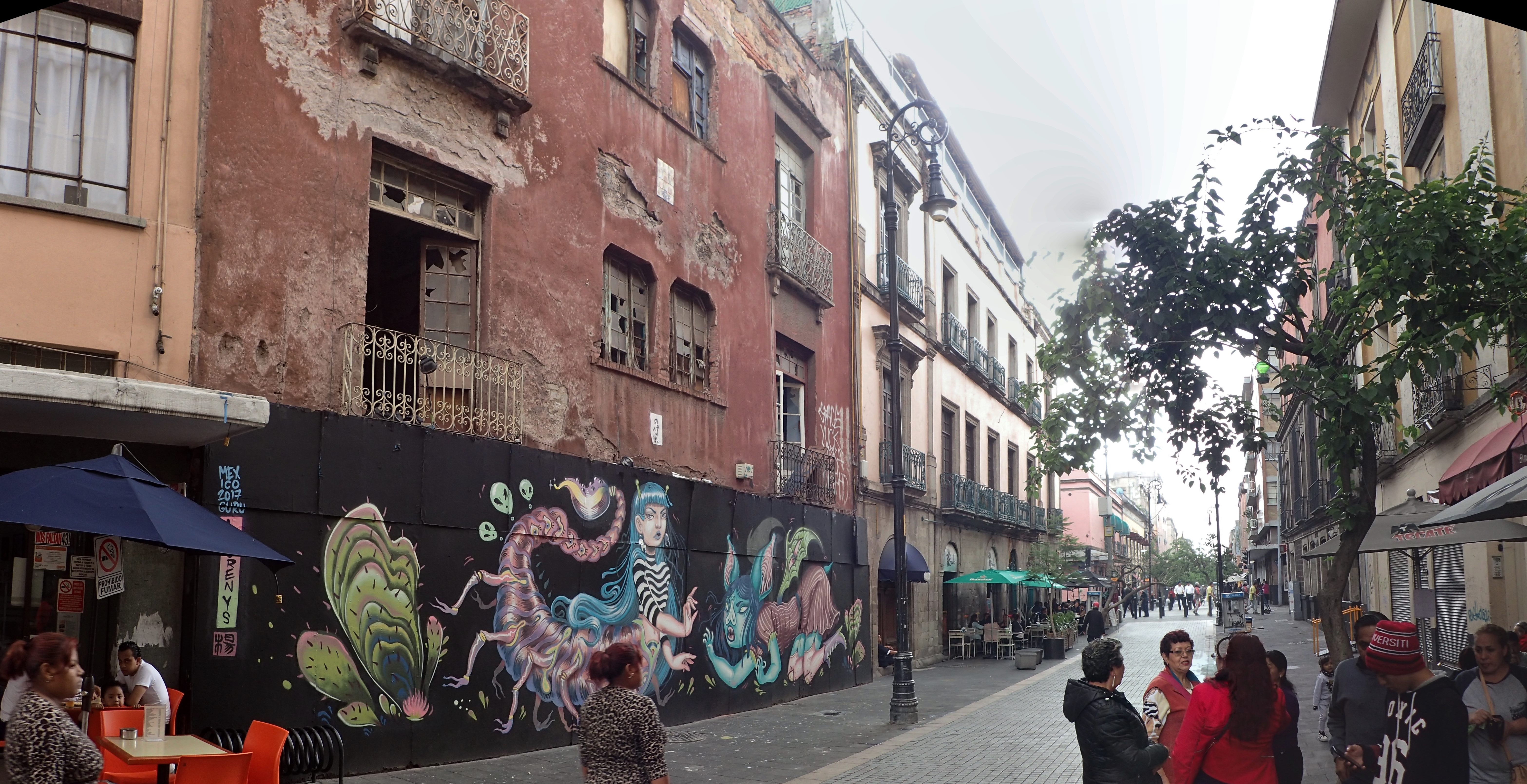
In Mexico City (and pretty much every other Mexican town I visited), the “zocalo” is the main square in the center of the city. One day while I’d been walking from the Chabacano neighborhood where I’d been staying down to the Zocalo, I happened upon all this lovely street art. Don’t know what the area is called or who any of the artists are, but for your enjoyment…
Niño gigantesco
Abuelita
Cara de culebra
No sé como describirlo. Me quedo sin palabras.
La reina del mar
Conejos sofisticados
Una exhibición mujeril
Los ojos no mienten
Iluminando una calle oscura y fea
¿Algún mujeriego manoseando a la esposa de otro?
Oye vato, ¿qué te pasó?
A young vendor in the city center selling goods out of a wheelbarrow
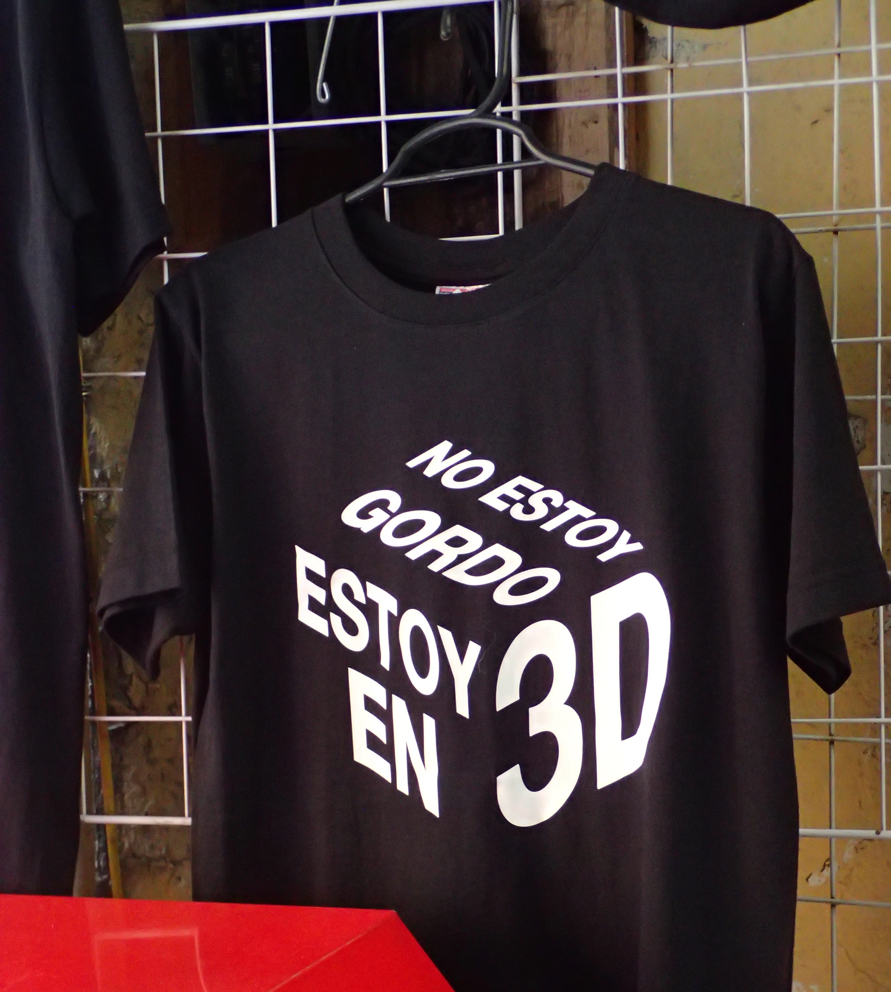
“I’m not fat. I’m in 3D”
Mexico City proper has a population of more than 8,900,000. But the Mexico City metropolitan area has a population upwards of 21 million
The city sits at an altitude of 2,240 meters or 7,350 feet
The facade of the structure in the photo previous
Deambulando por el centro
A este tipo le gusta la mota
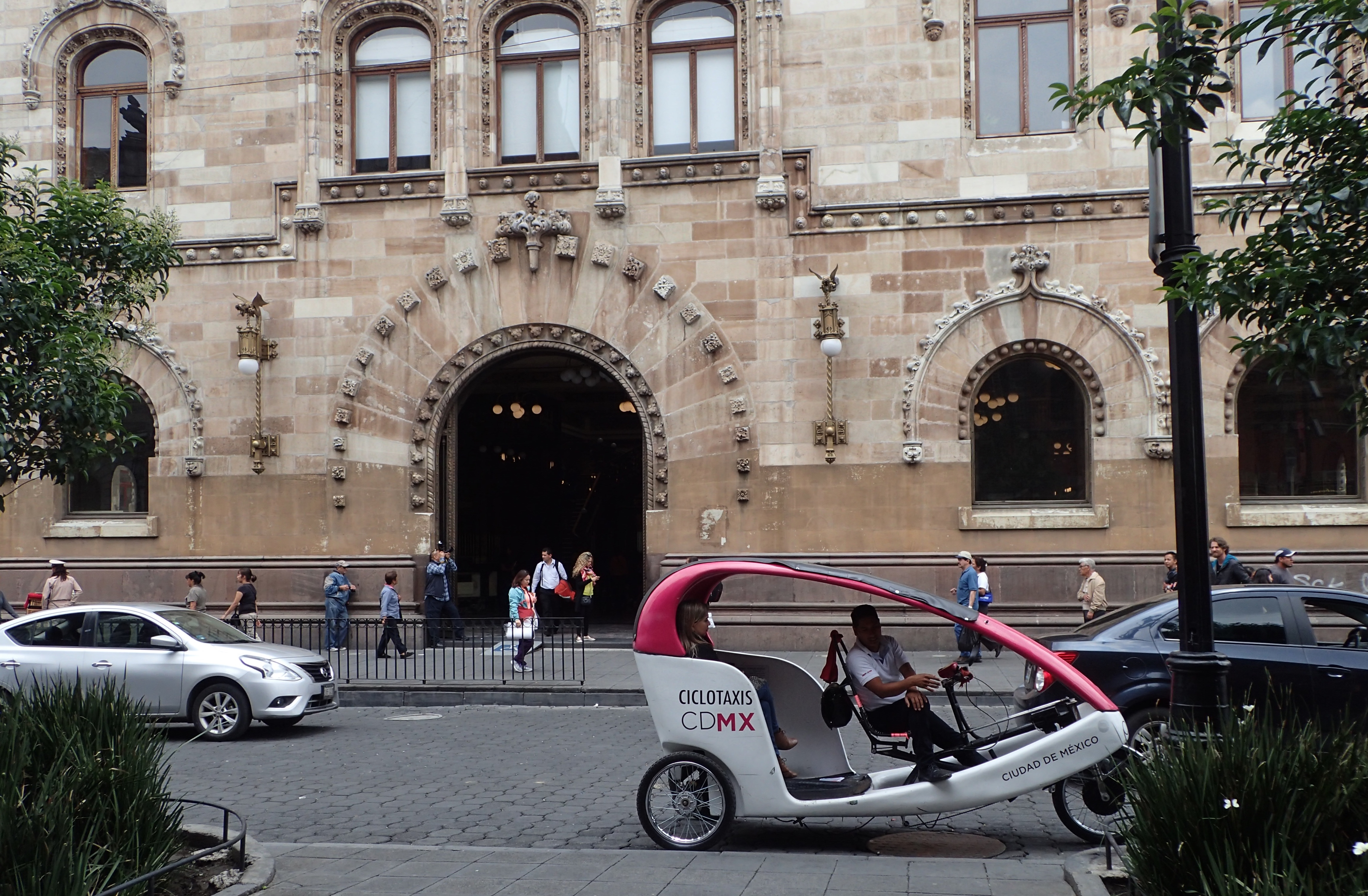
Ciclotaxista
Fuckin’ Spuds MacKenzie reincarnated and ready to house a 24-pack of Light
Here lies what’s left of the Templo Mayor – the “Great Pyramid” – of the Aztec capital of Tenochtitlán which had been destroyed by Hérnan Cortés during his conquest of 1521
It must’ve taken a lot of balls to roll into the capital of someone else’s civilization and just fuckin’ stomp it to shit, tell the locals to get fucked and then start building your own city on top of it. Can you imagine doing that? Or having that done to you? That’s some pretty extreme shit.
Catedral Metropolitano
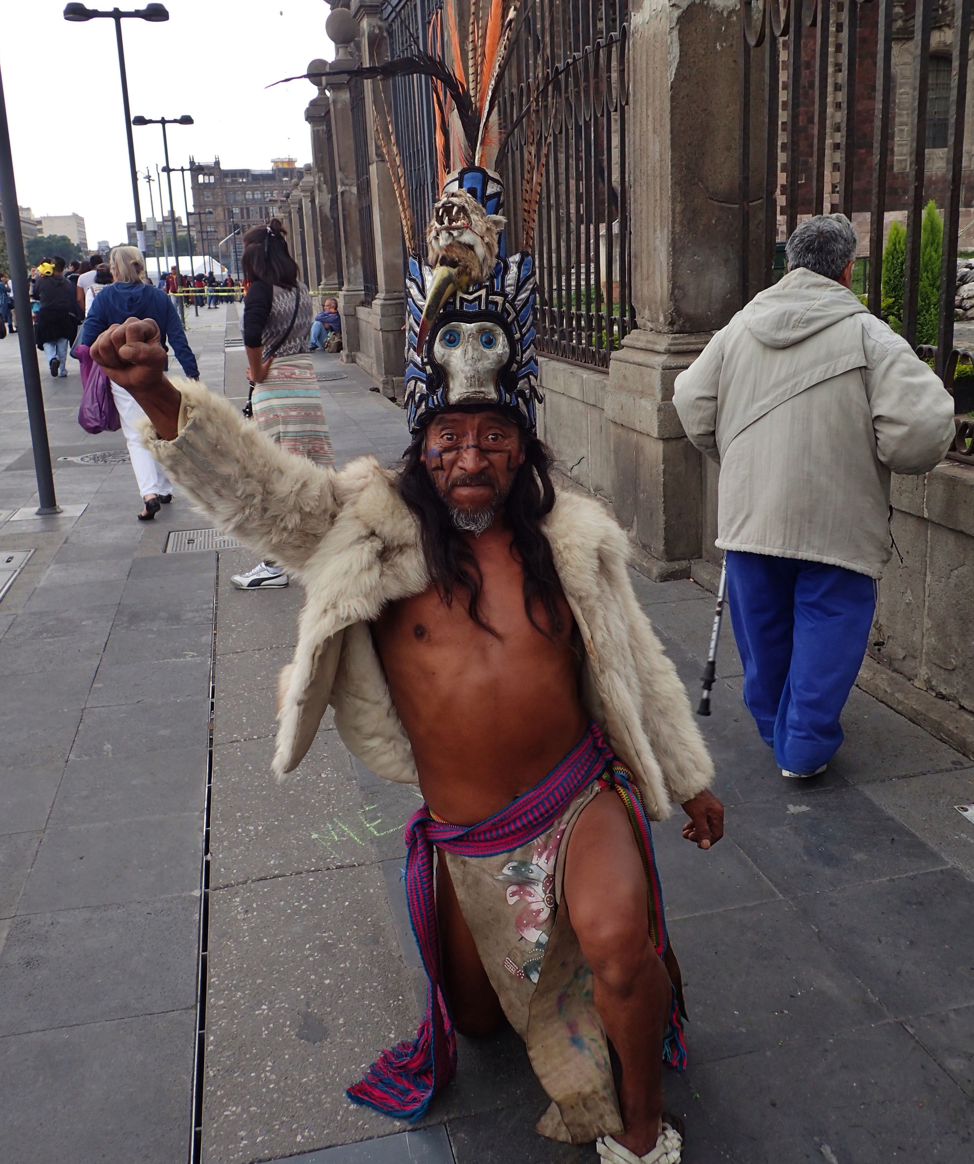
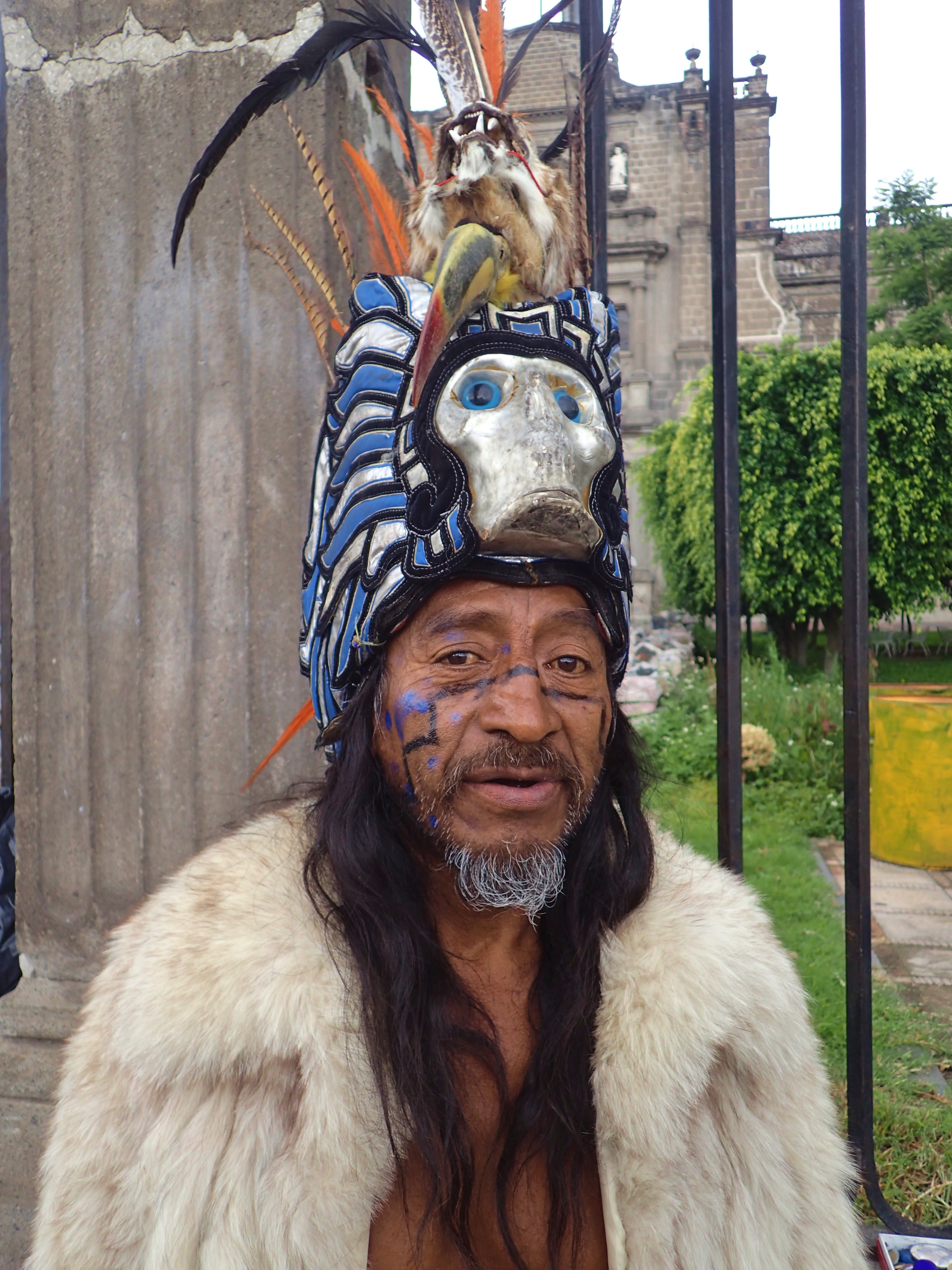
Aztec bro
Cabeza de calavera
Una mujer entregándose al monstruo oxidado en pleno día
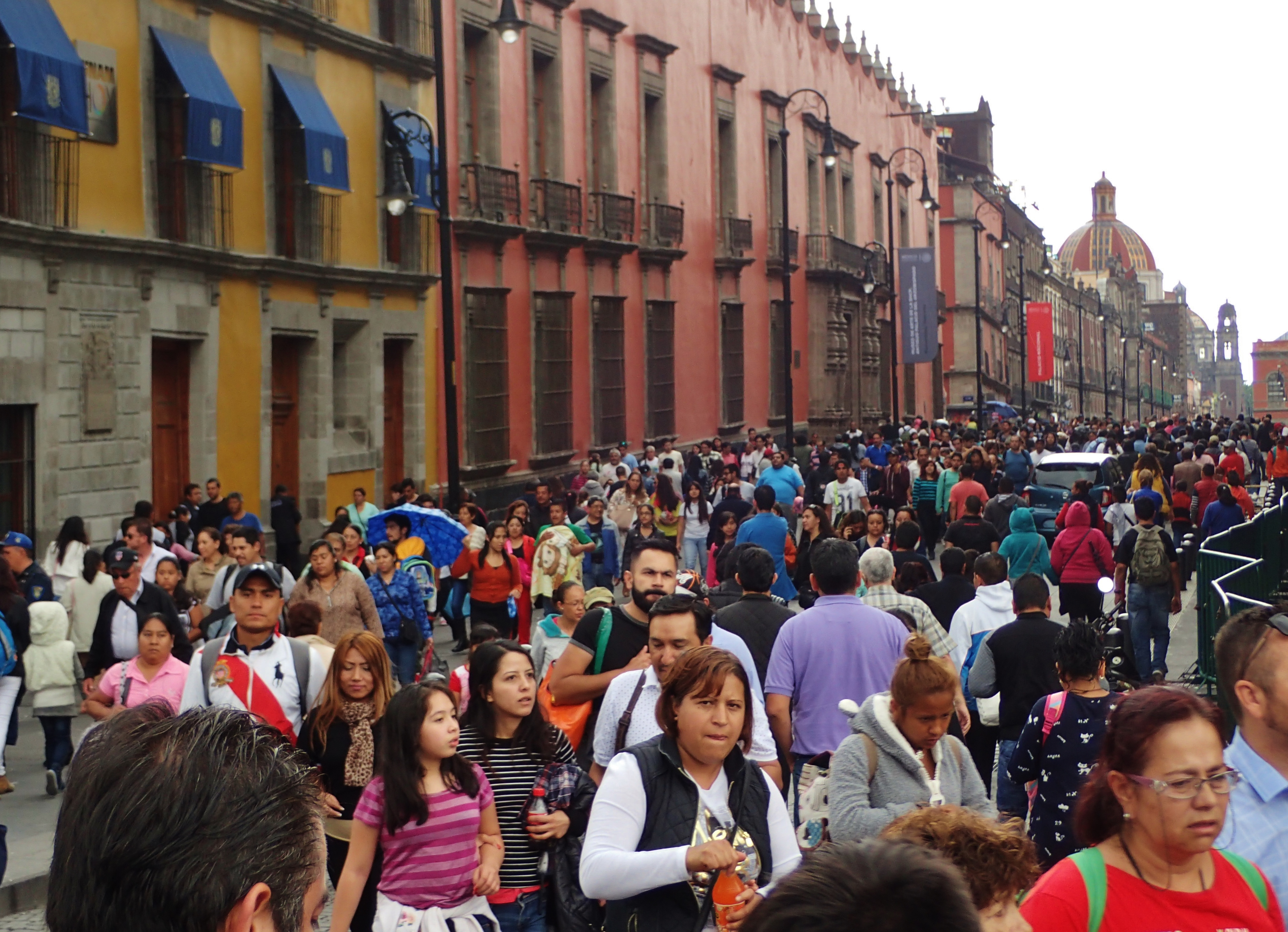
Bien abarrotado
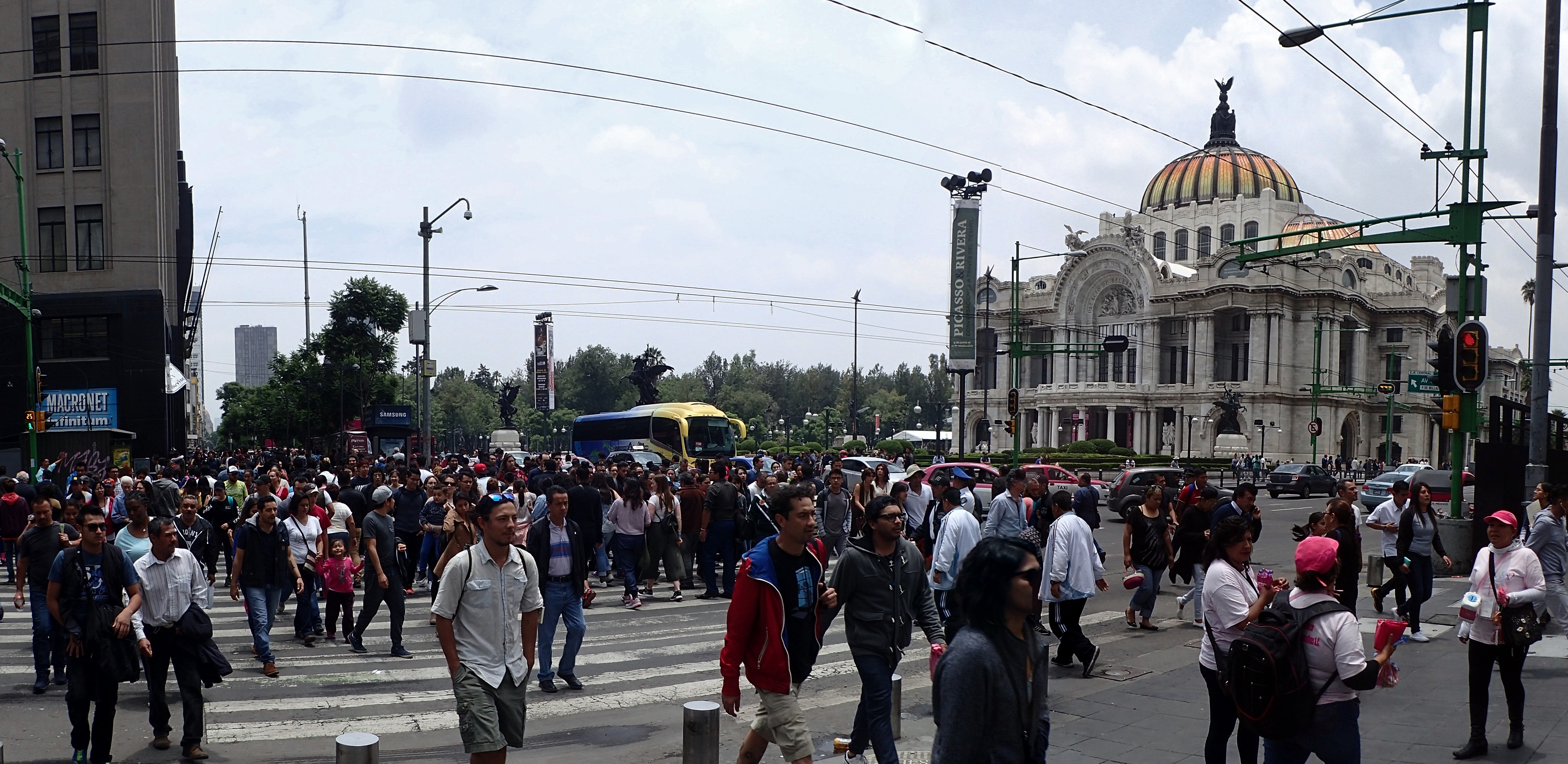
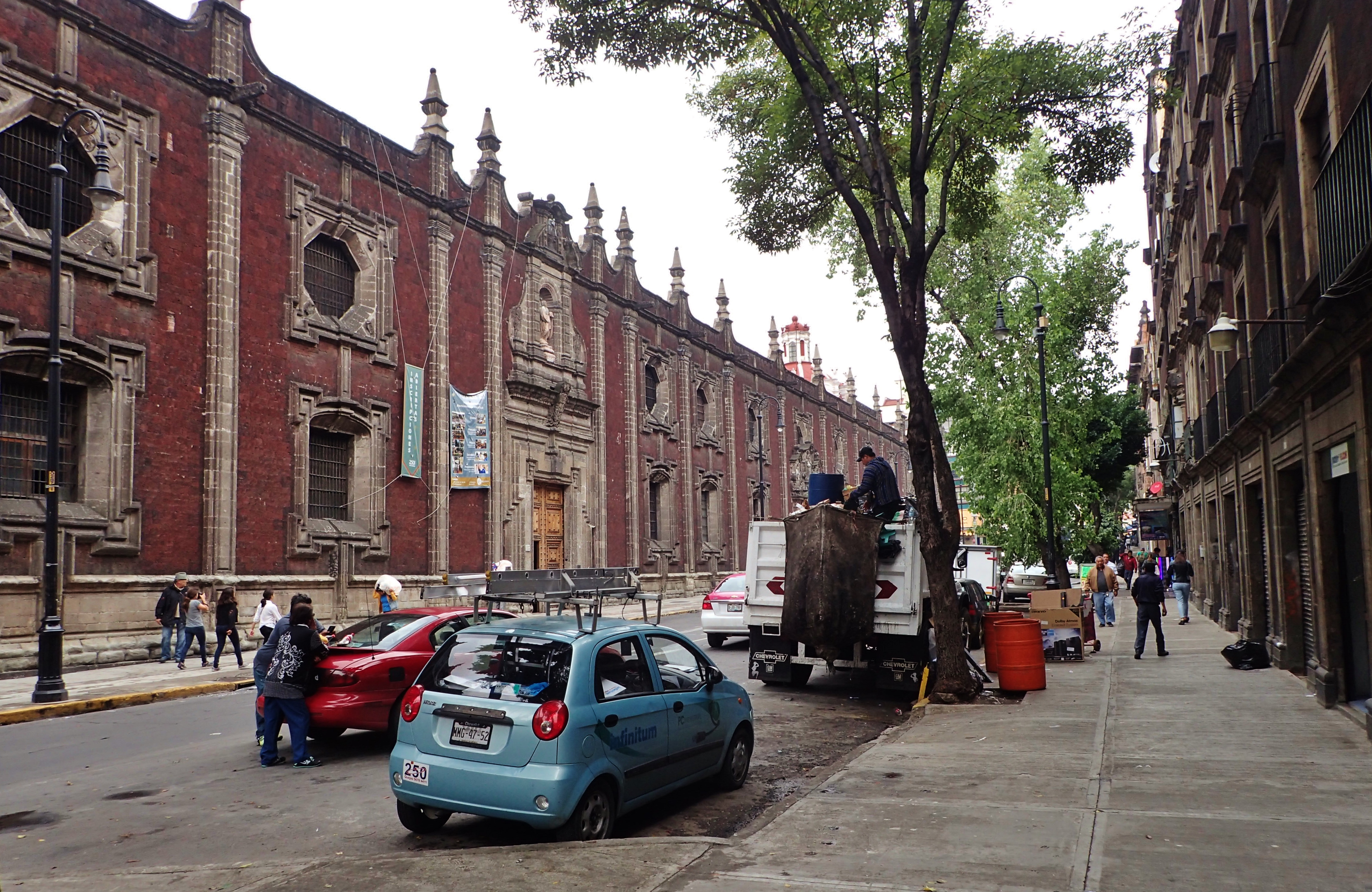
Around the center
1 USD ≈ 19 Mexican Pesos
Un punto de reunión where people are supposed to meet after making an evacuation from nearby buildings during emergency situations. These things are all over Mexico City and a few seem a bit too close to some crumbly old buildings for my taste, were I looking for a safe spot amid one of the violent earthquakes CDMX is prone to
Me neither, bro. Fuck everything
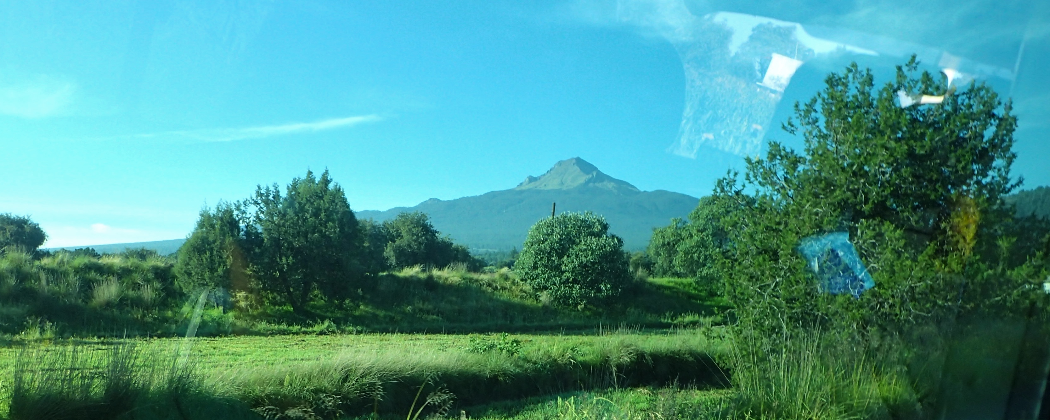
La Malinche
With an official summit of 4,461m above sea level, this volcano – La Malinche – is named in honor of the woman who helped Hernán Cortés as an interpreter during the conquest of the Aztec Empire.
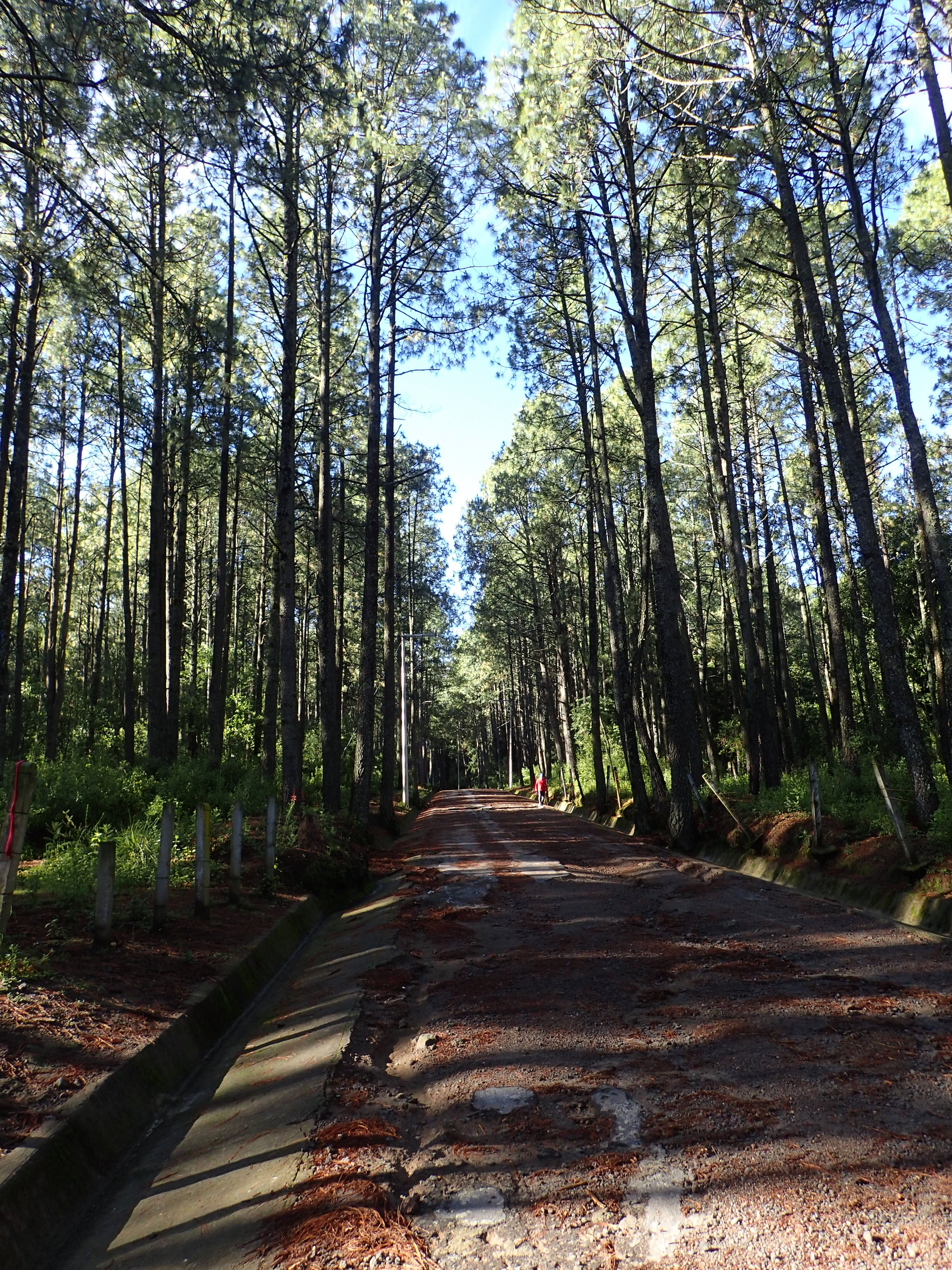
The trailhead starts at a resort area at 3,080m high
This groove is probably like a giant water slide every time it rains
Information online said that the climb from the trailhead to the summit could take anywhere between 3-6 hours depending on the hiker
The tree line ends at 3900m
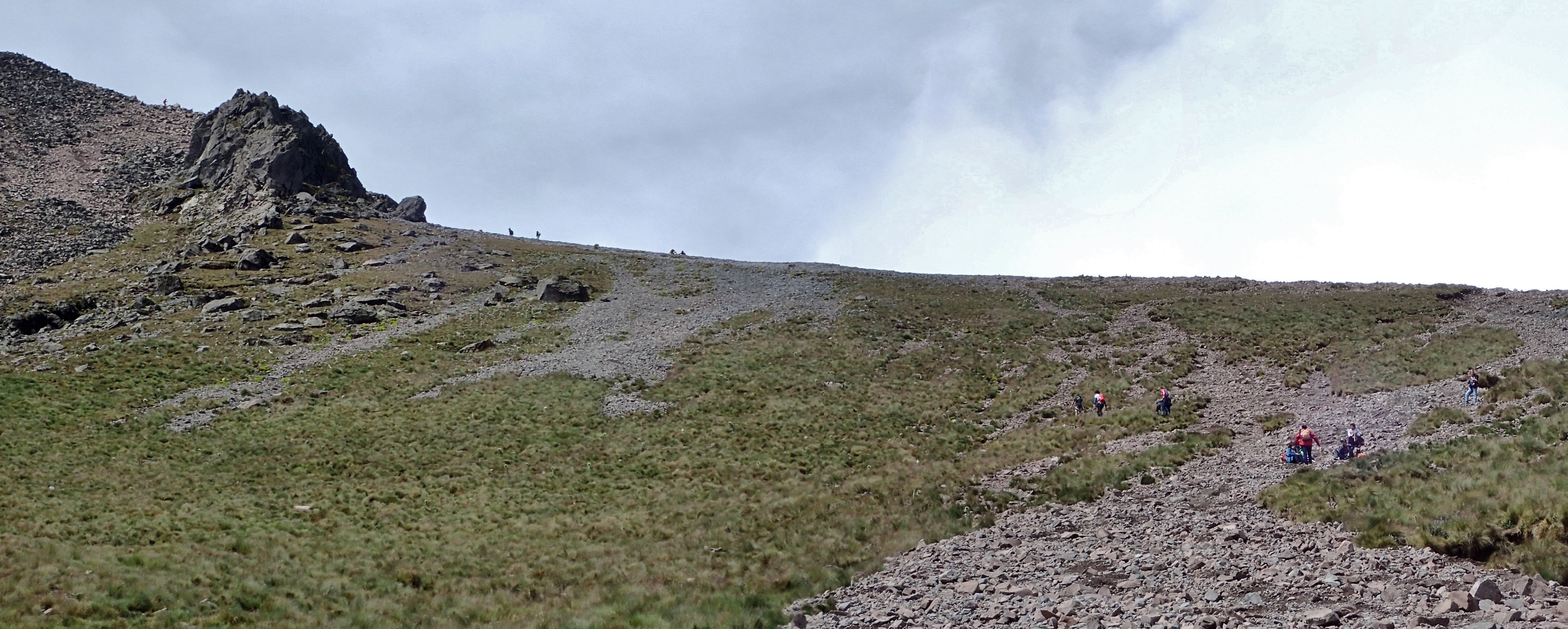
By the time I got up here, I thought the rest of the climb was gonna be cake. I mean, just looking at this thing, it didn’t seem like that big of a deal…until I realized all those barely visible tiny dots way up there were people
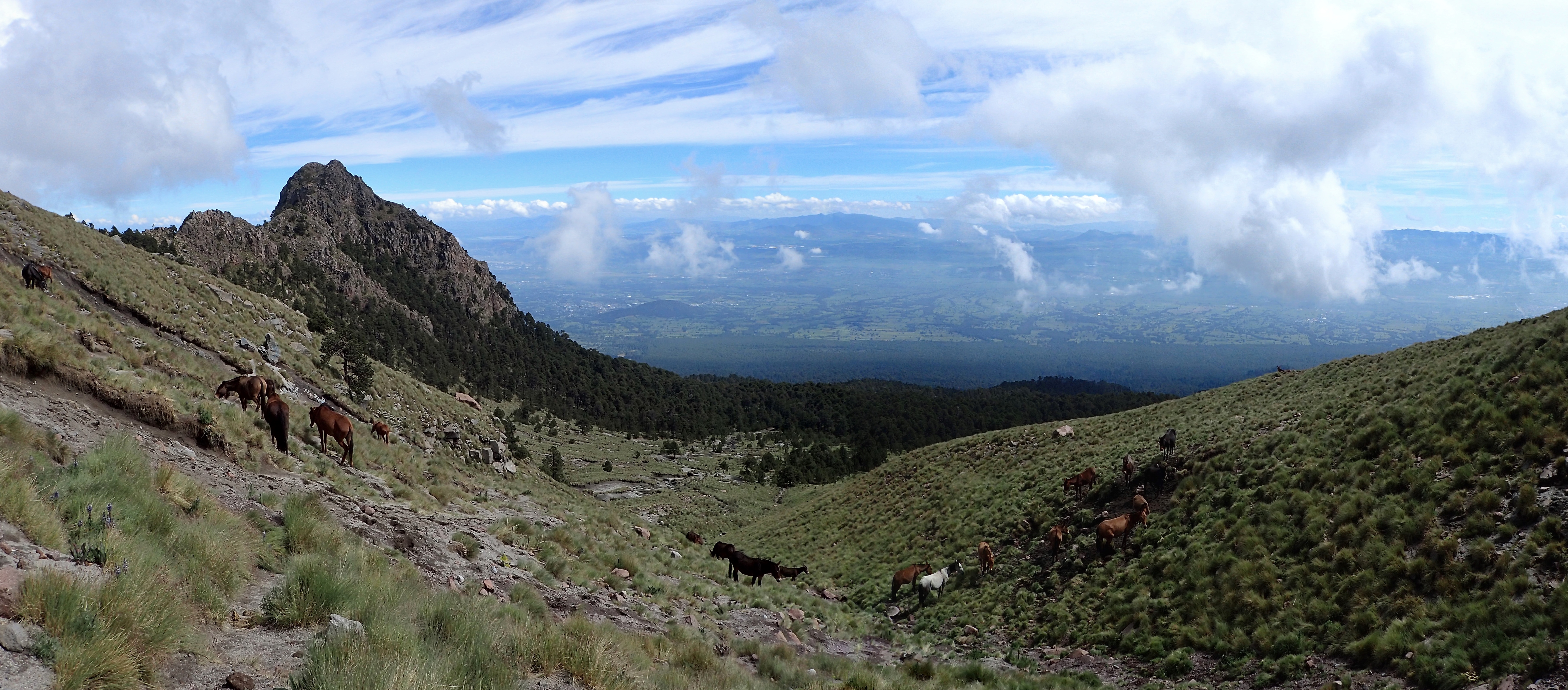
The folks of which I spoke in the photo previous next to a big ol’ group of horses
Now here’s a view from where the people had been in the two previous photos. Still a long way to go.
Lookin’ back down from the horses
Tryin’ to get up to that ridge
This part was quite steep and if you put your foot on a rock that wasn’t embedded in the dirt, it’d more likely than not slide out from under ya
Other group of climbers taking a rest
Finally up on the ridge
Look towards the top
Look back down
Silhouette of a dude standing on the summit
Cholula
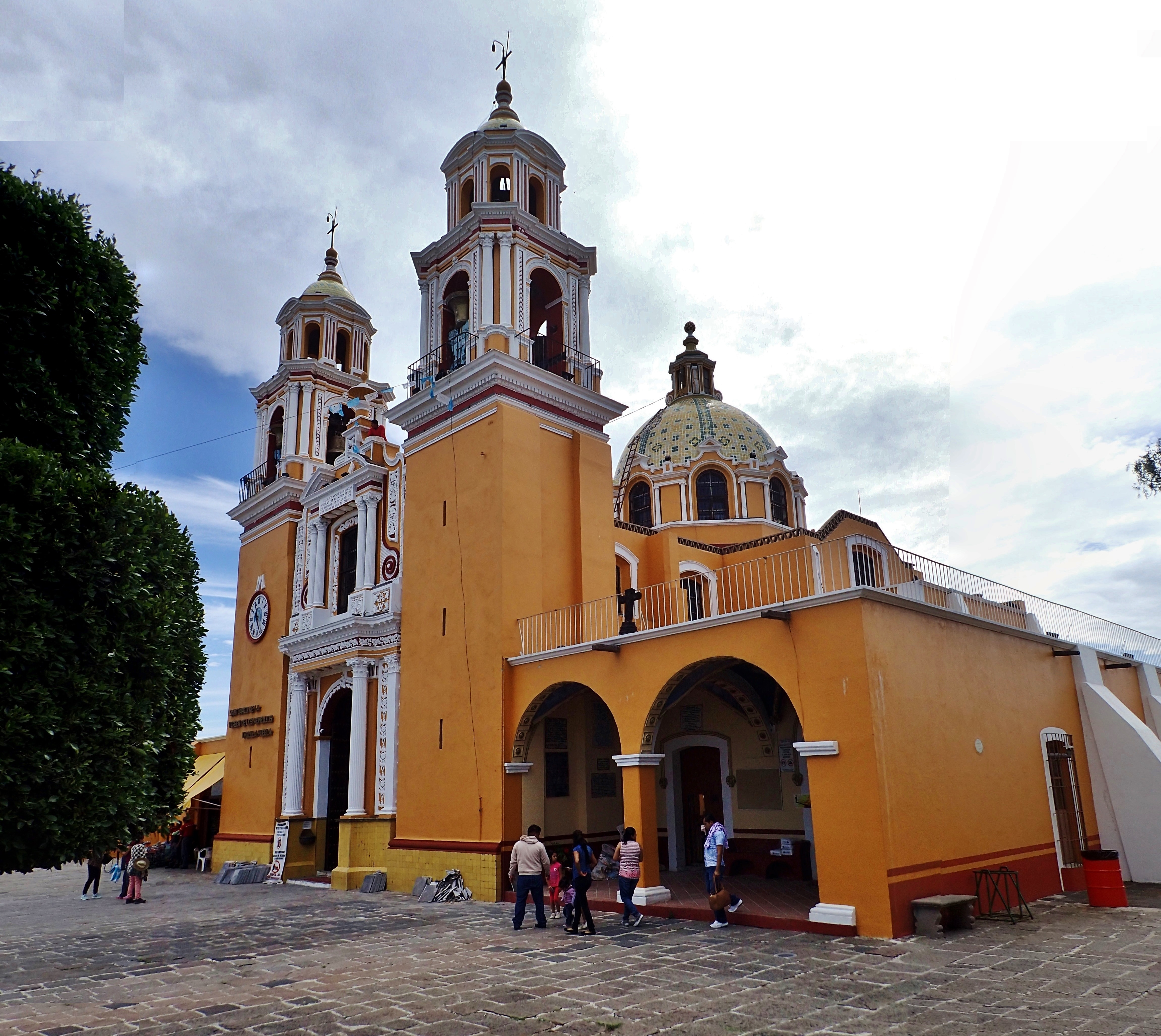
El Convento de San Gabriel Arcángel was built in the mid-1500s
Say your prayers!
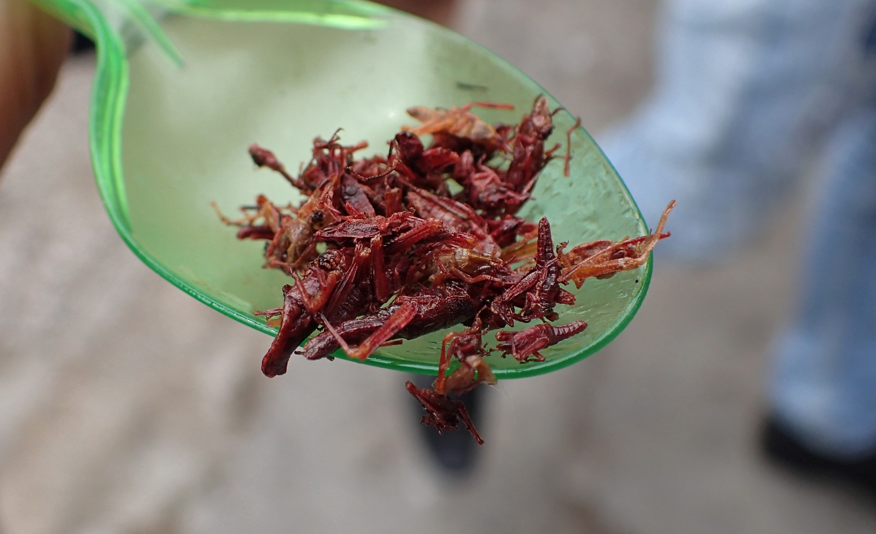
Outside San Gabriel, several local vendors had been walking around with buckets full of “chapulines” for sale. Here is a spoonful of the popular grasshoppers/crickets or whatever the fuck these are that people south of the border like to eat
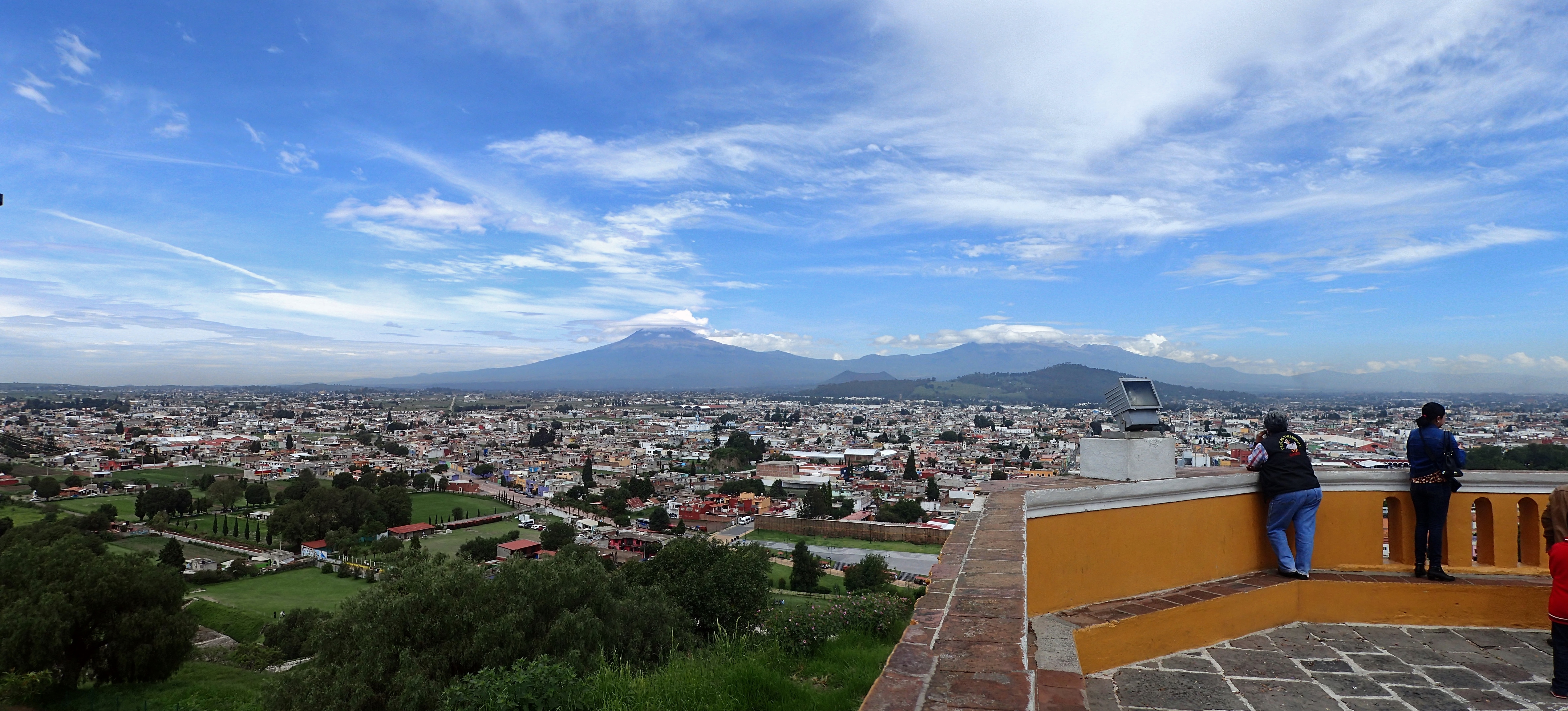
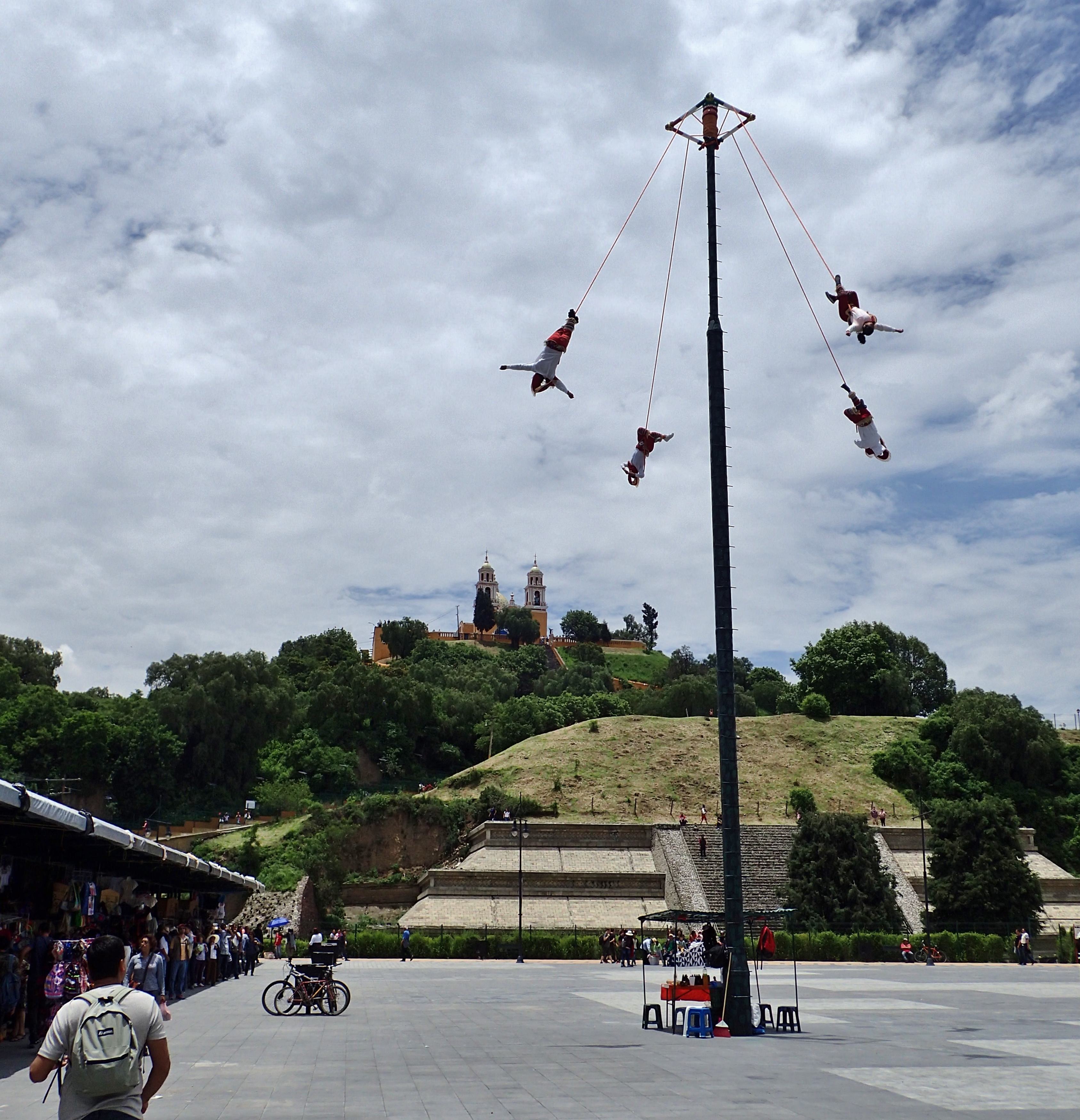
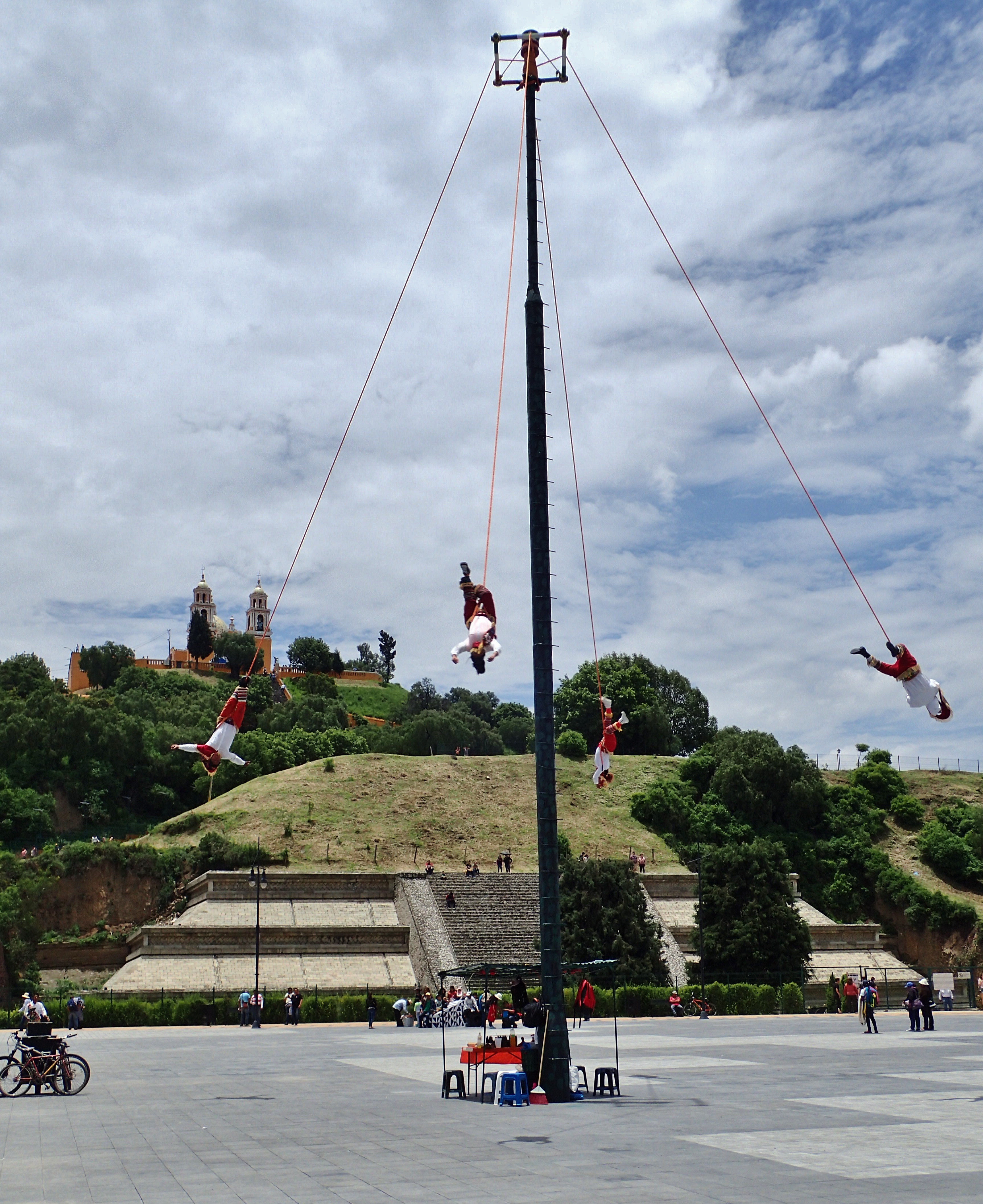
La Iglesia de Nuestra Señora de los Remedios is another 16th century church, this one built directly atop an Aztec pyramid known as Tlachihualtepetl which – although overgrown with vegetation and not appearing much like a pyramid – is said to be the largest on the planet.
View from atop “Our Lady of Remedies Church”
San Gabriel from the top of the pyramid
La Parroquia San Andrés
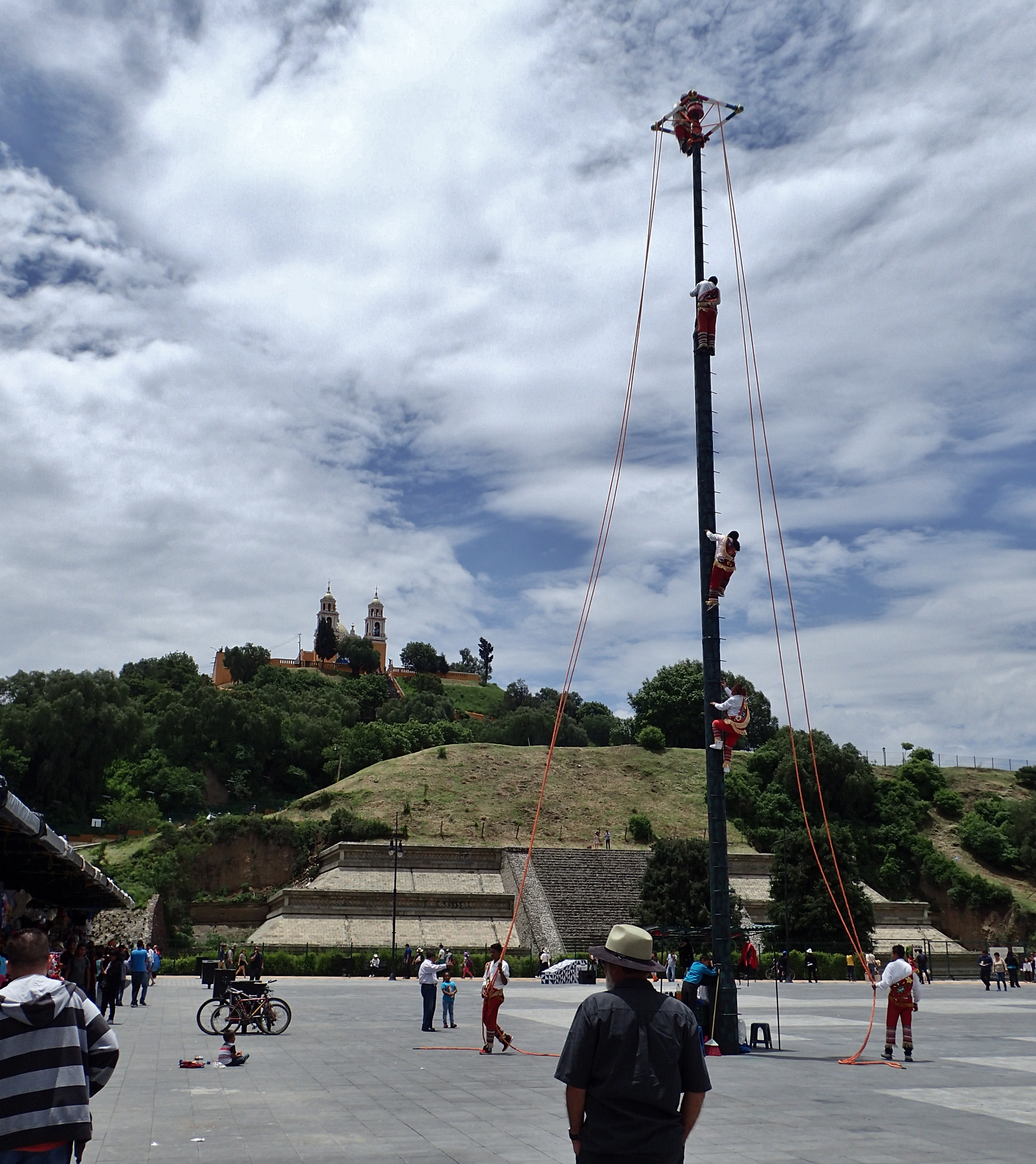
Voladores de Papantla (The flyers of Papantla) climbing el palo volador (the flying pole)
Wikipedia says: “According to Totonac myth, at least 450 years ago there was a severe drought that brought hunger to the people. The gods were withholding the rain because the people had neglected them. This ceremony was created to appease the gods and bring back the rains. In some versions of the story, the ritual is created by the old men of a village, who then chose five young men who were chaste. In other versions, the five men themselves create the ritual. The tallest tree in the nearby forest is cut down with the permission of the mountain god, stripped of its branches and dragged to the village. The trunk is erected with much ceremony. The youths climb the pole and four jump off while the fifth played music. The ritual pleased the rain god Xipe Totec and other gods, so the rains began again and the fertility of the earth returned.”
Flying with the pyramid and the church in the background
“Volaré oh oh, cantaré oh oh oh oh!”
¡Yo quiero Taco Bell!
Gayco got them dick-shaped cumsicles mmmhmmm
At the market
A restaurant inside the market
Lunch
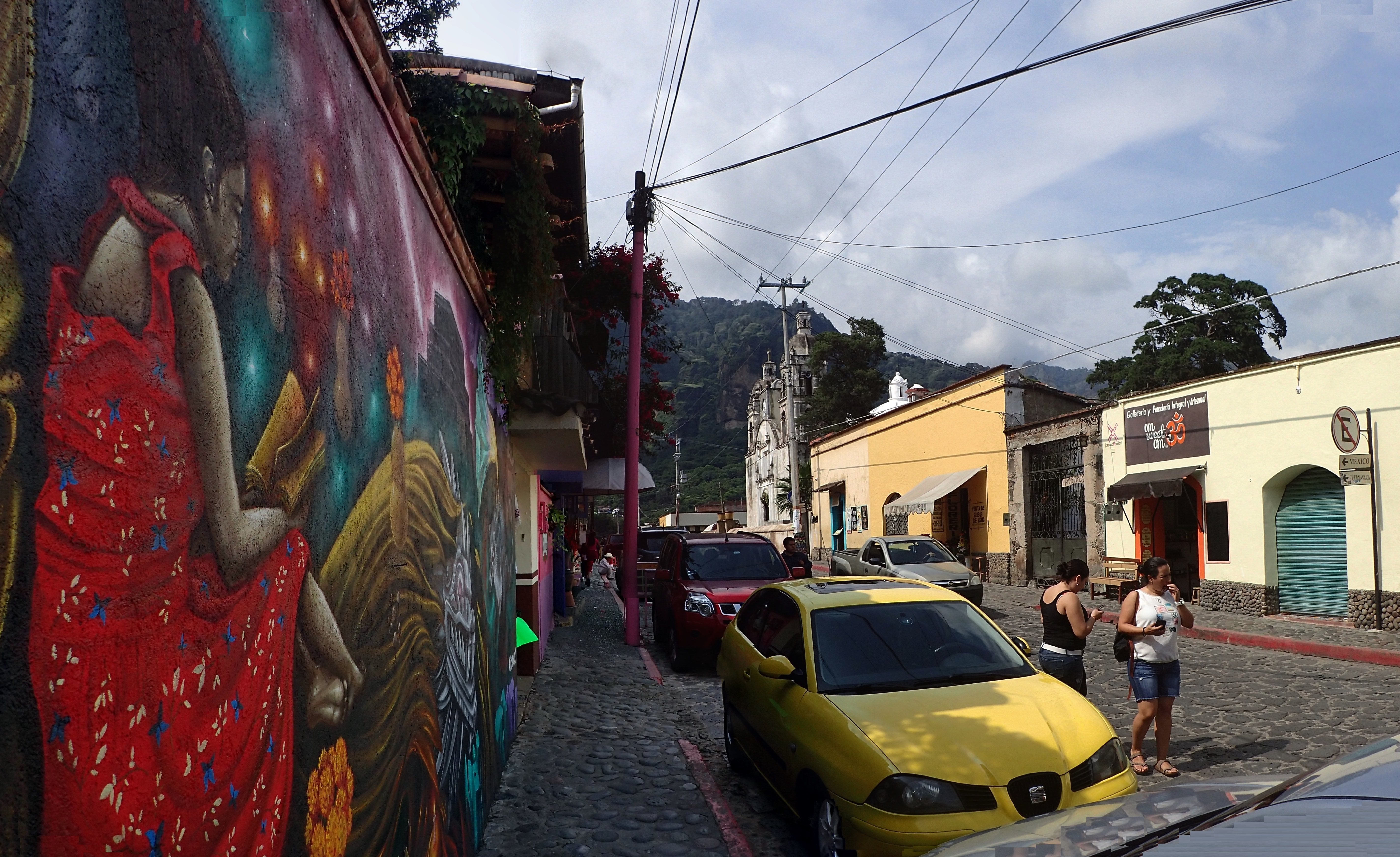
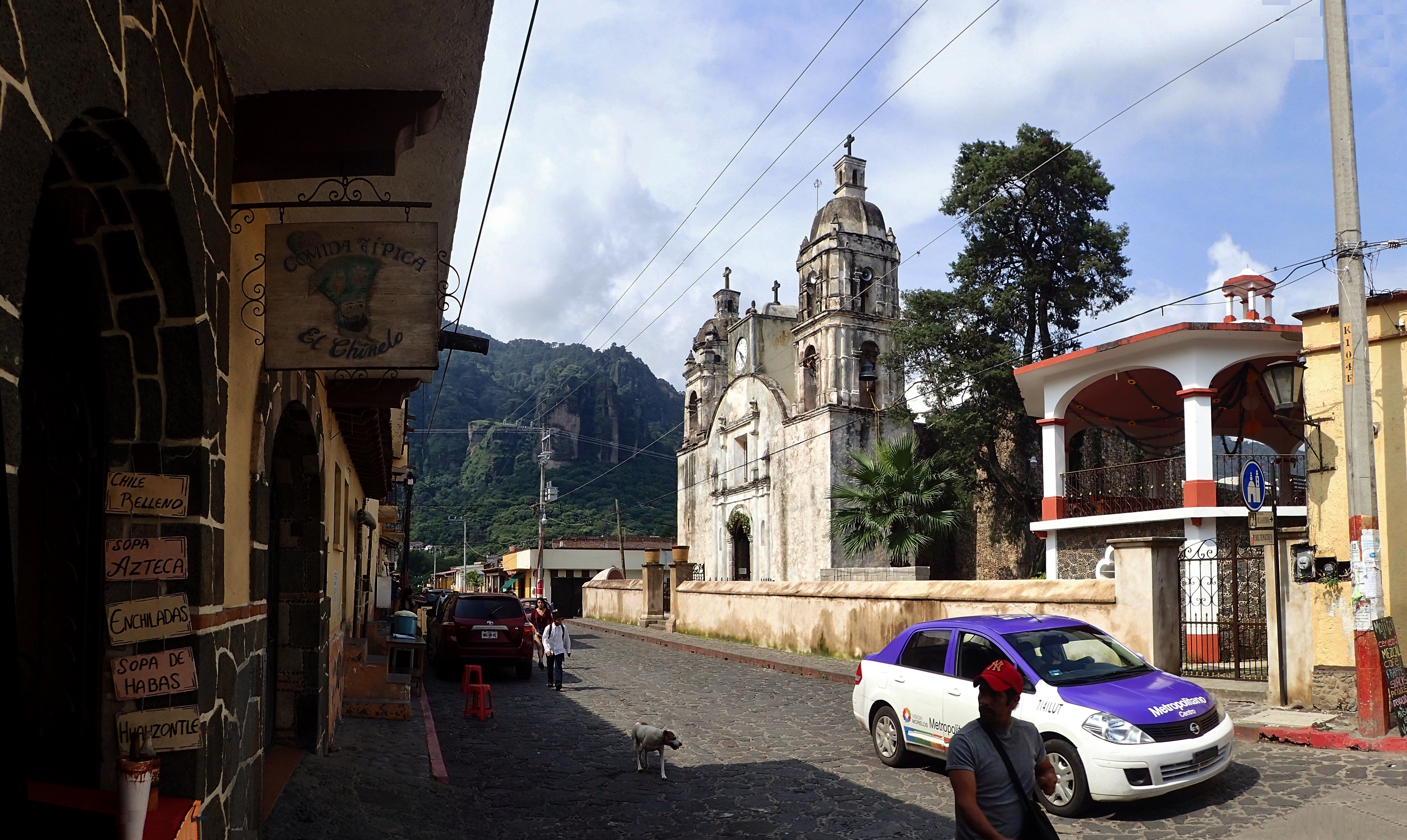
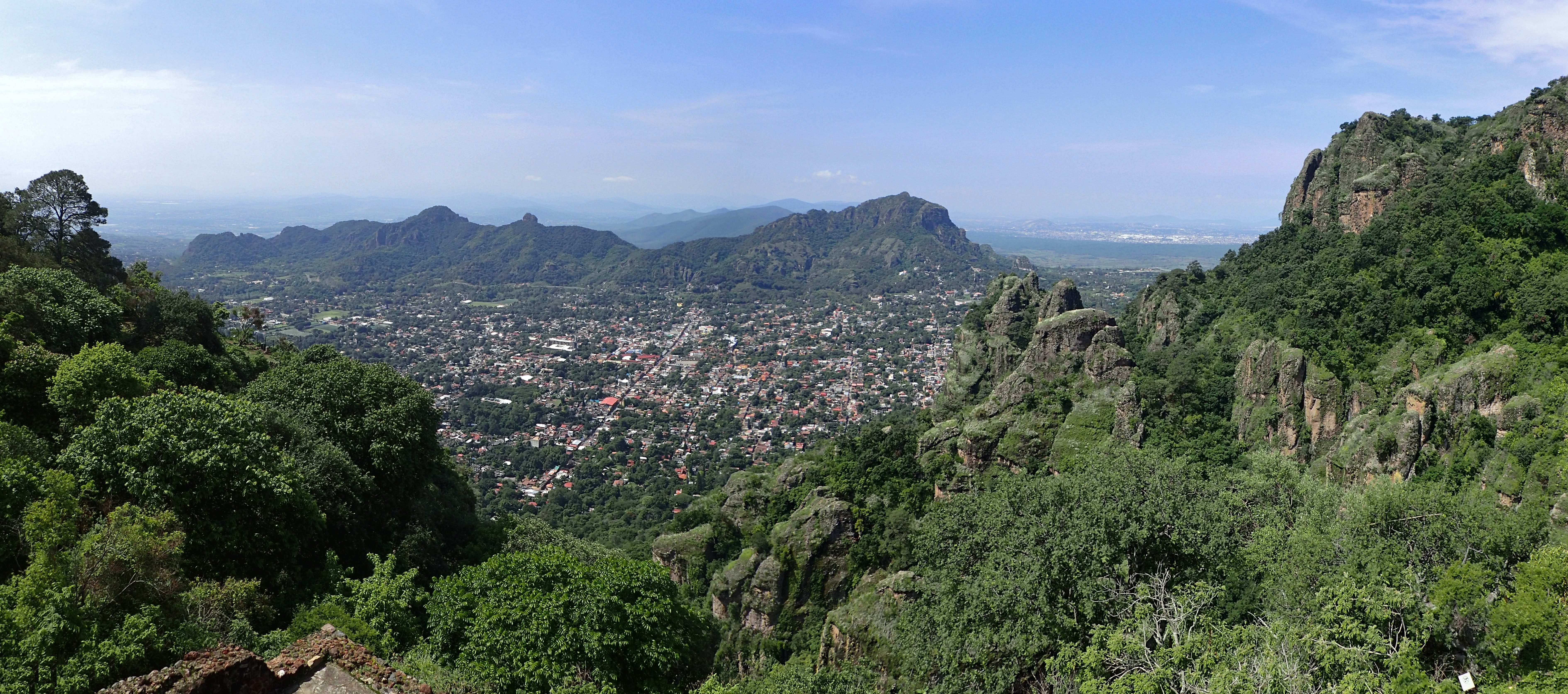
Tepoztlán
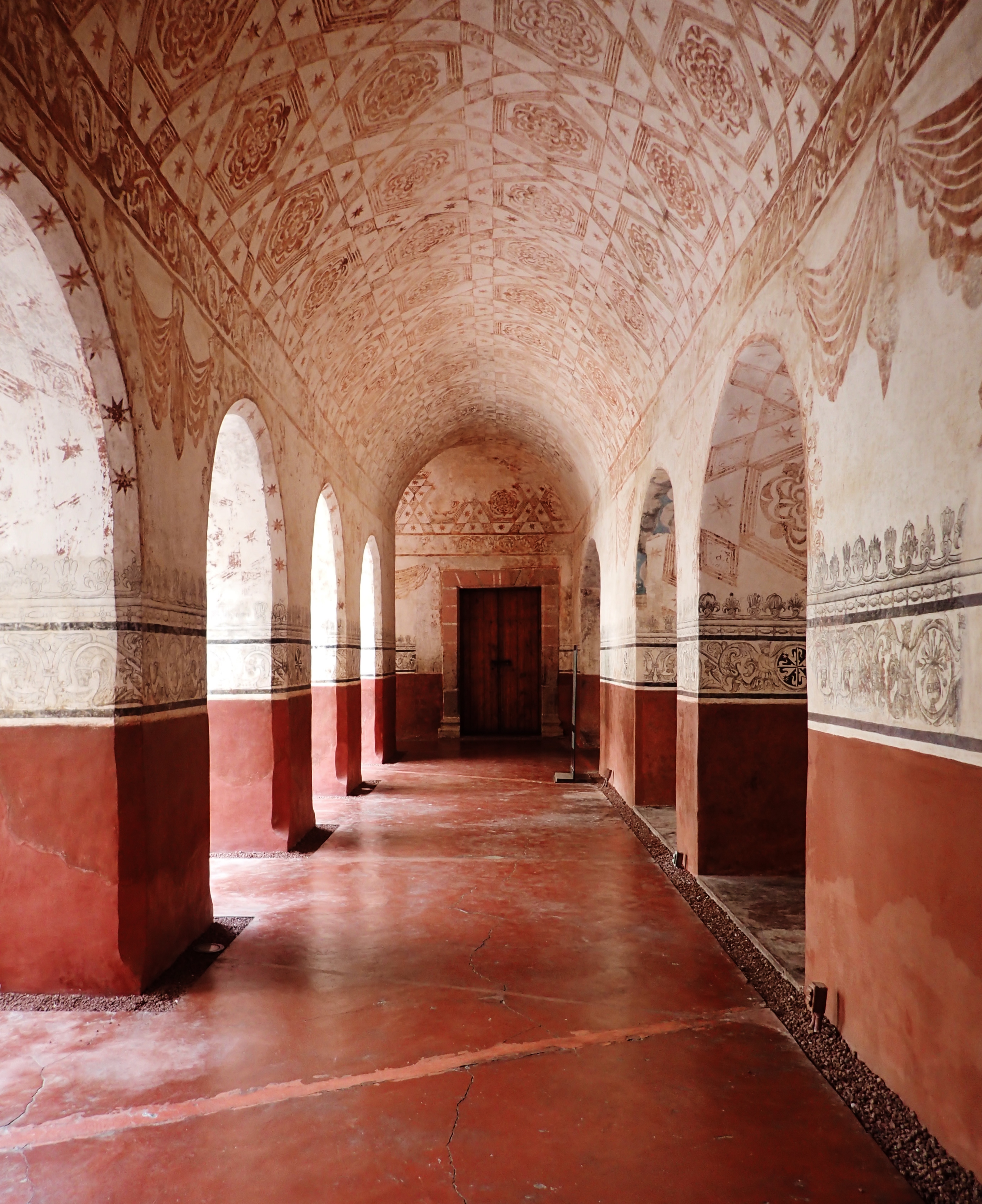
A convent-turned-museum built in the 1500s now referred to as el ex Convento de Nuestra Señora de la Natividad
Inside the former Dominican convent
Dinner spot
Strolling down the same street as seen in the photo previous
Same deal, further down
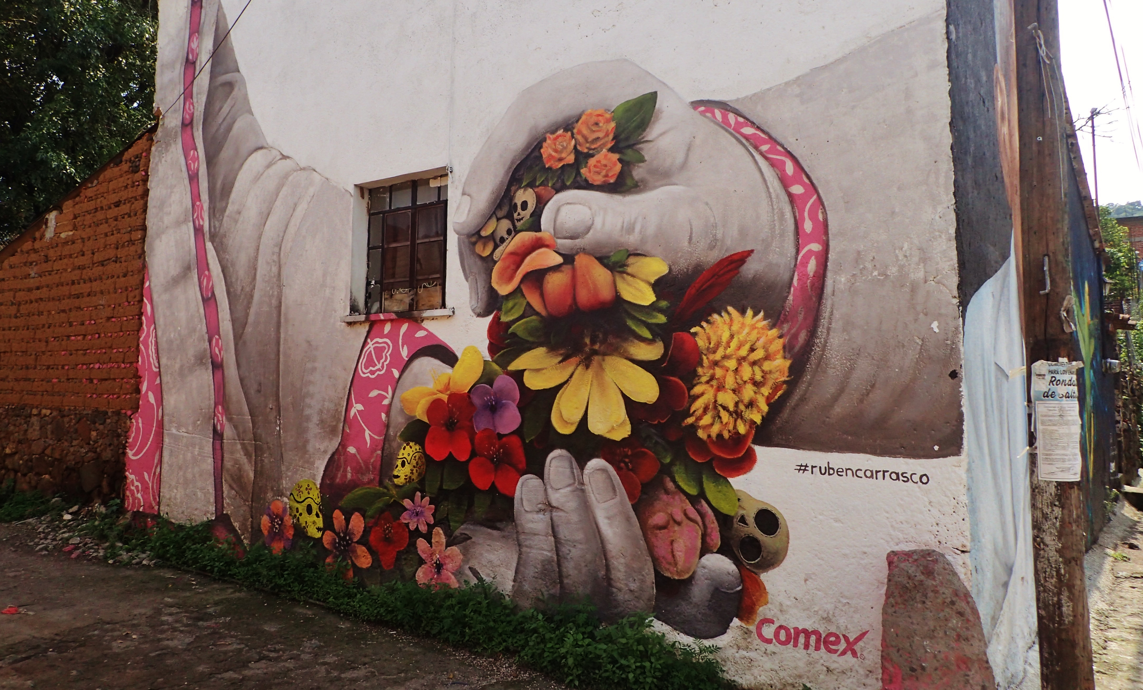
Mural in town
Just around the corner from the last one
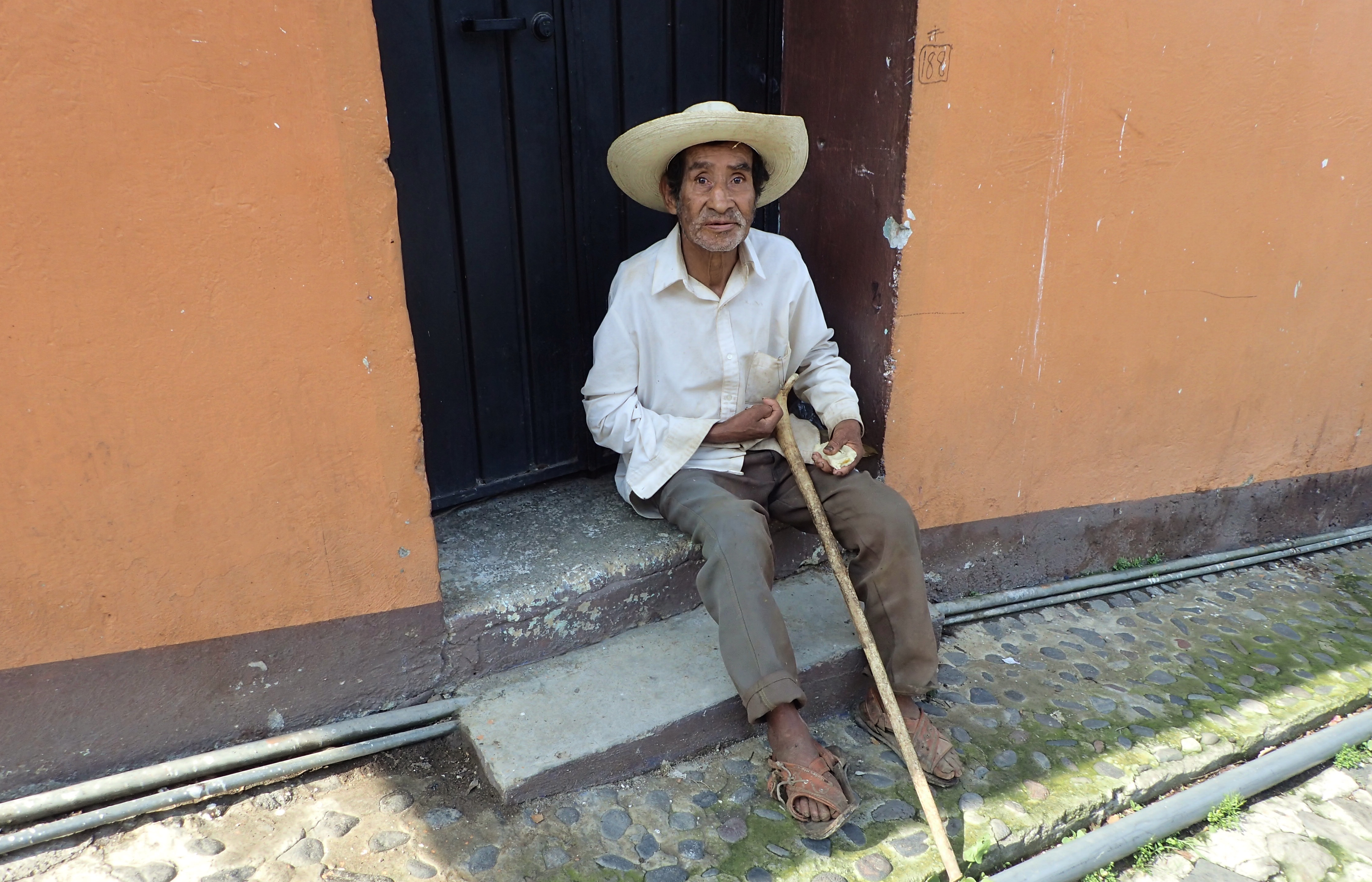
Señor bastón
Borrachito
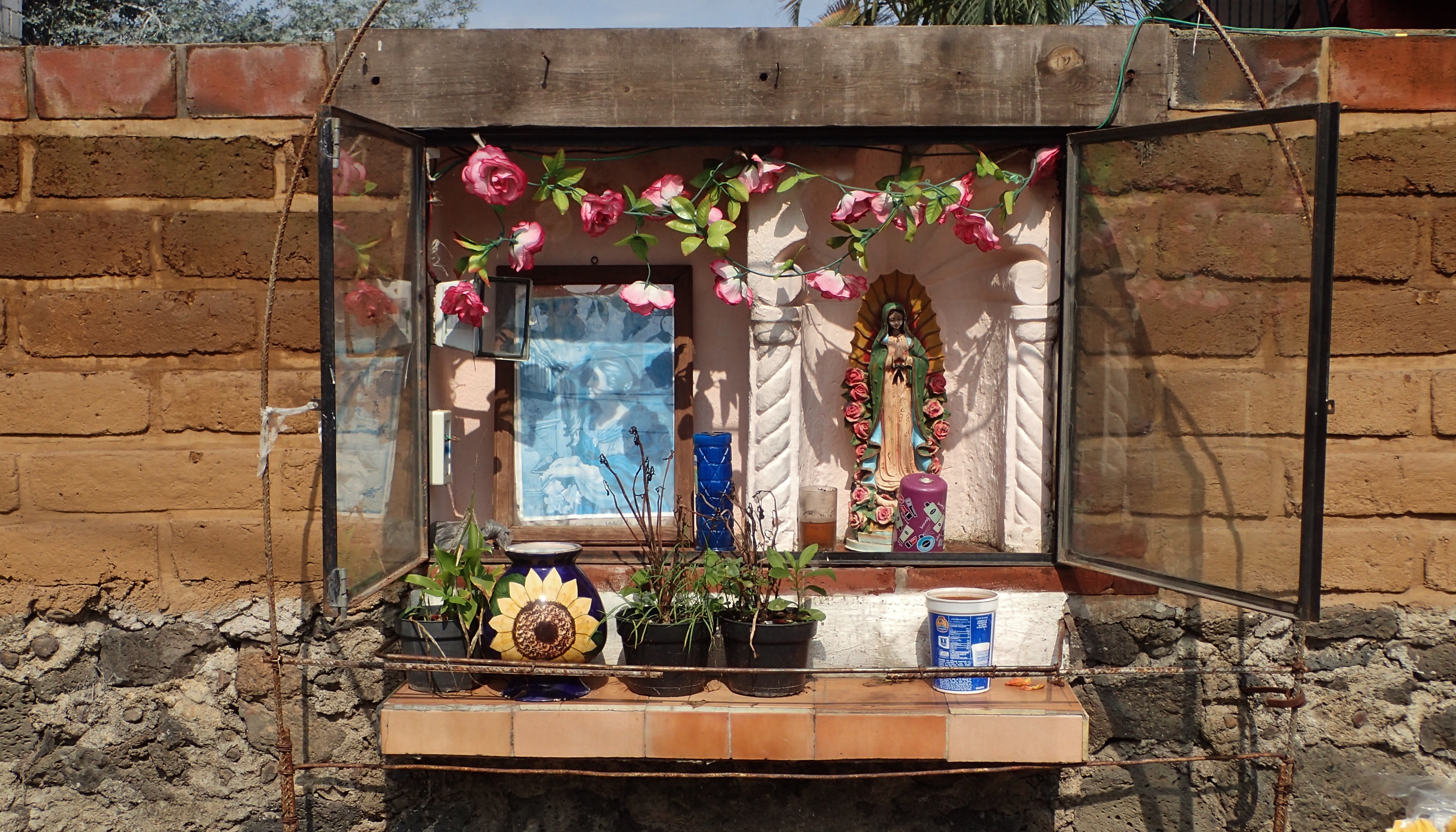
Mini-shrine
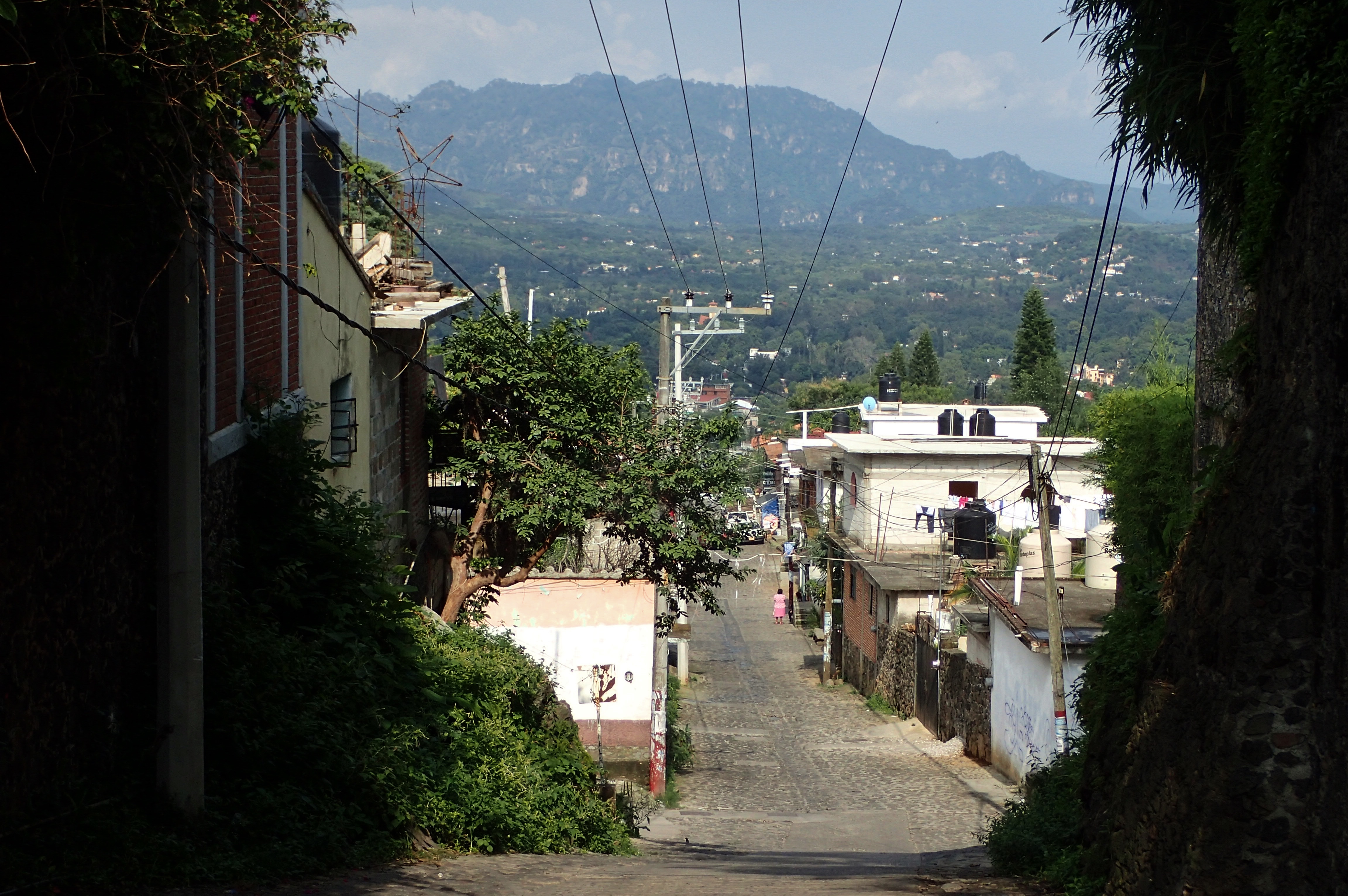
Wandering through the residential part of town
Herbie the Love Bug
Kid walking around town yelling the names of the products he’s selling
¿Hay una recompensa o que?
The following morning beginning my climb up to an archaeological site known as Tepozteco
A wannabe volador de Papantla?
Entering the wild
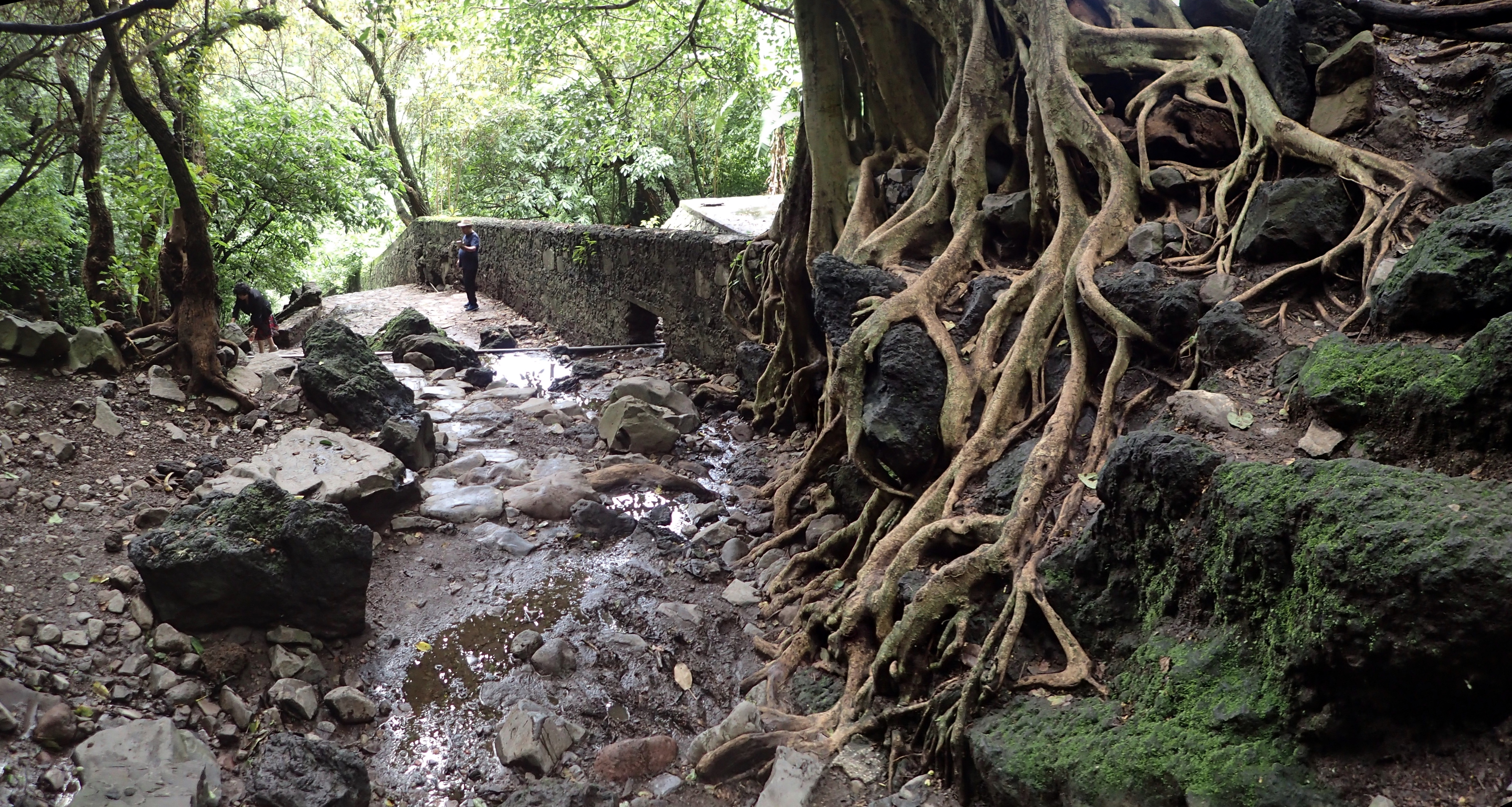
I was wandering around this backwoodsy path for a couple hours trying to get to Tepozteco n didn’t see another person almost the entire time. And that’s entirely my fault. ‘Cuz it turns out there’s a simple direct path with nicely-made stairs leading from the town directly to the archaeological site. I didn’t know that. I was just following some goofy-ass map on my phone. Whatever, I didn’t mind taking the scenic route.
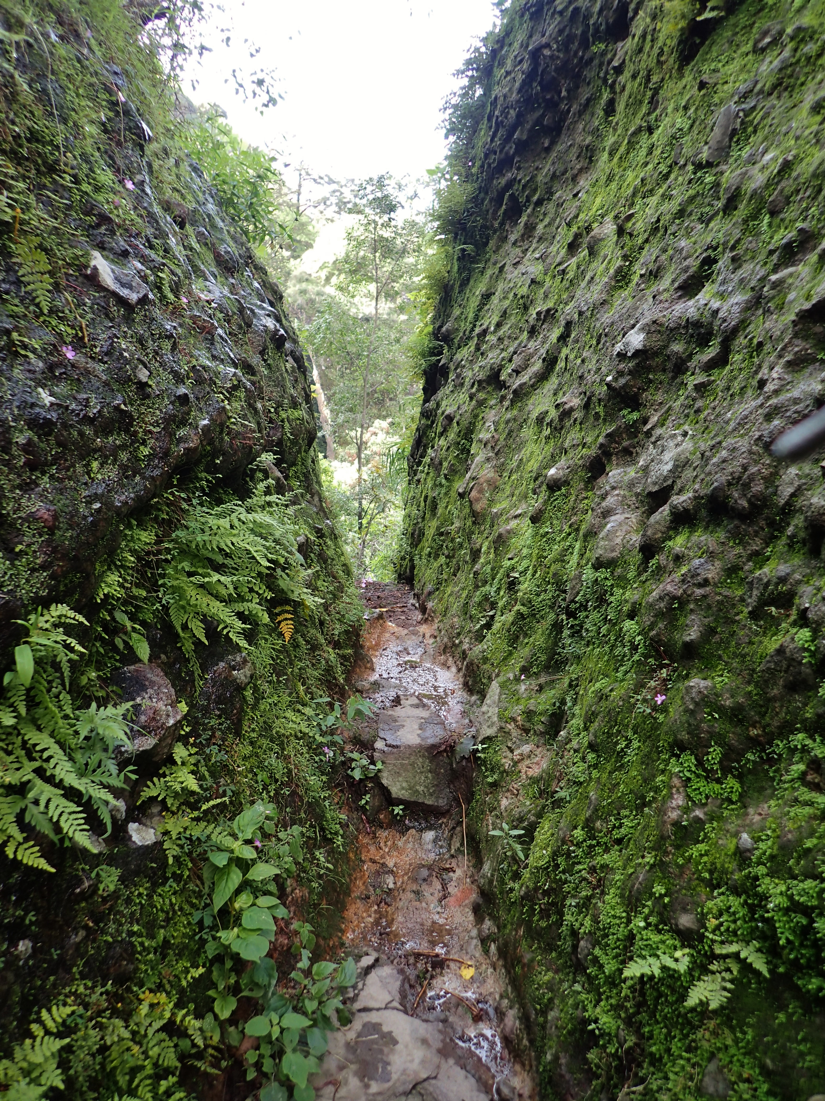
On the other side of this tight passage I could hear voices so I knew I was getting close. That said, when hearing those voices, the last thing I imagined seeing on the other side had been…
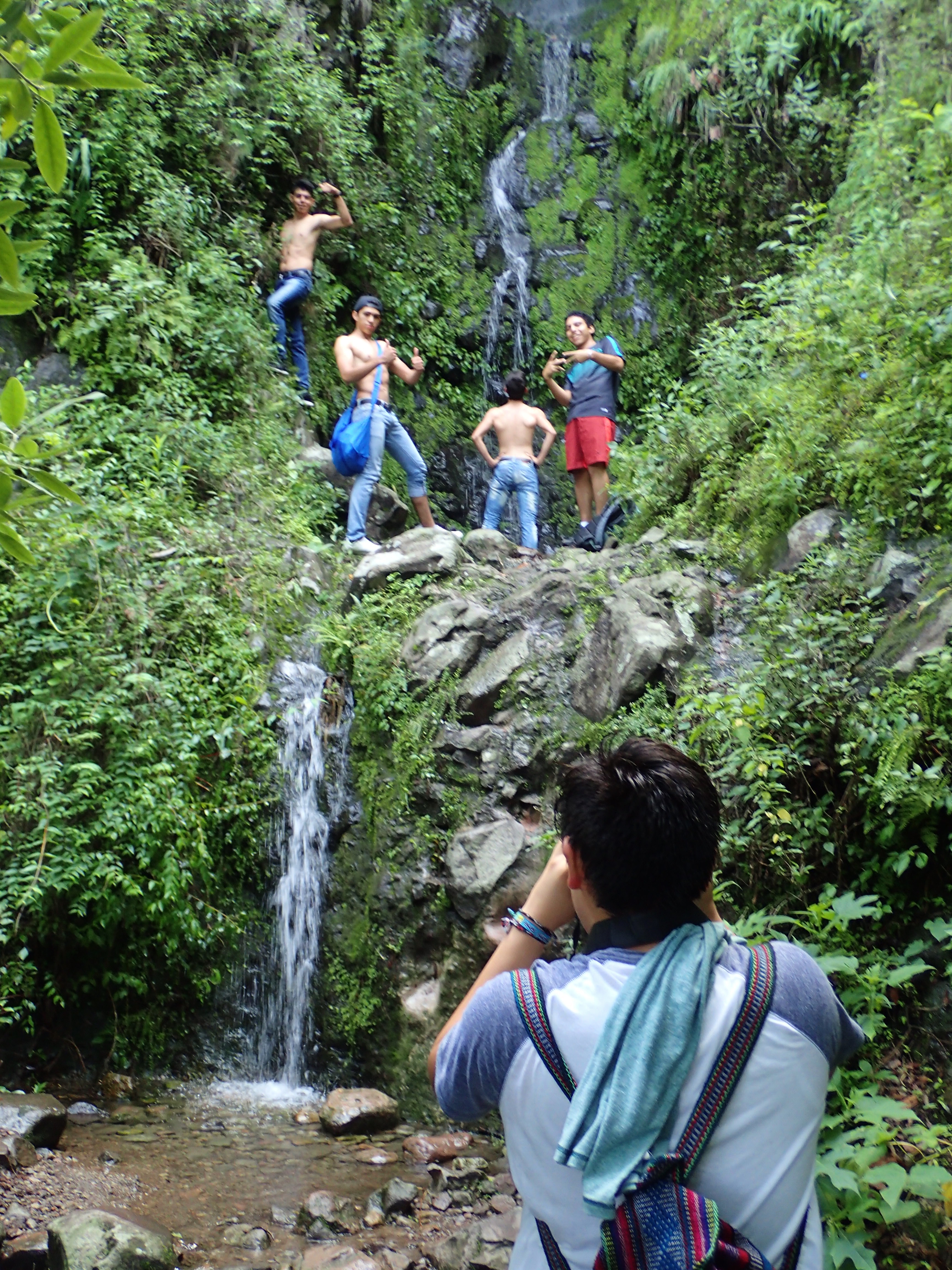
…a scene as hilarious as this. I love how the guy in the back is so cool he doesn’t even gotta face the camera.
A temple dedicated to Tepoztecatl, the Aztec god of the alcoholic beverage pulque.
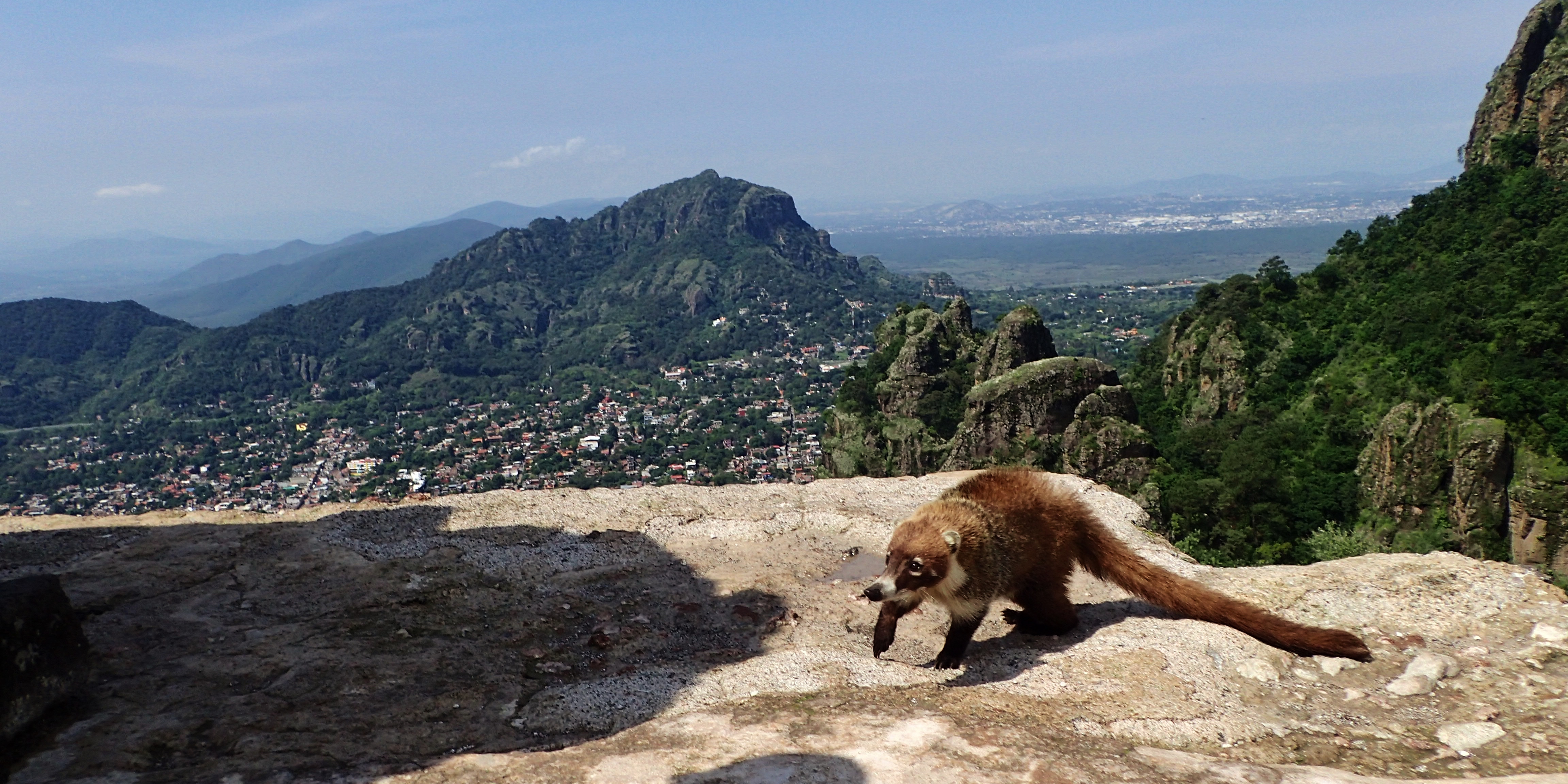
View of Tepoztlán from atop Tepozteco
Coati lookin’ for some eats
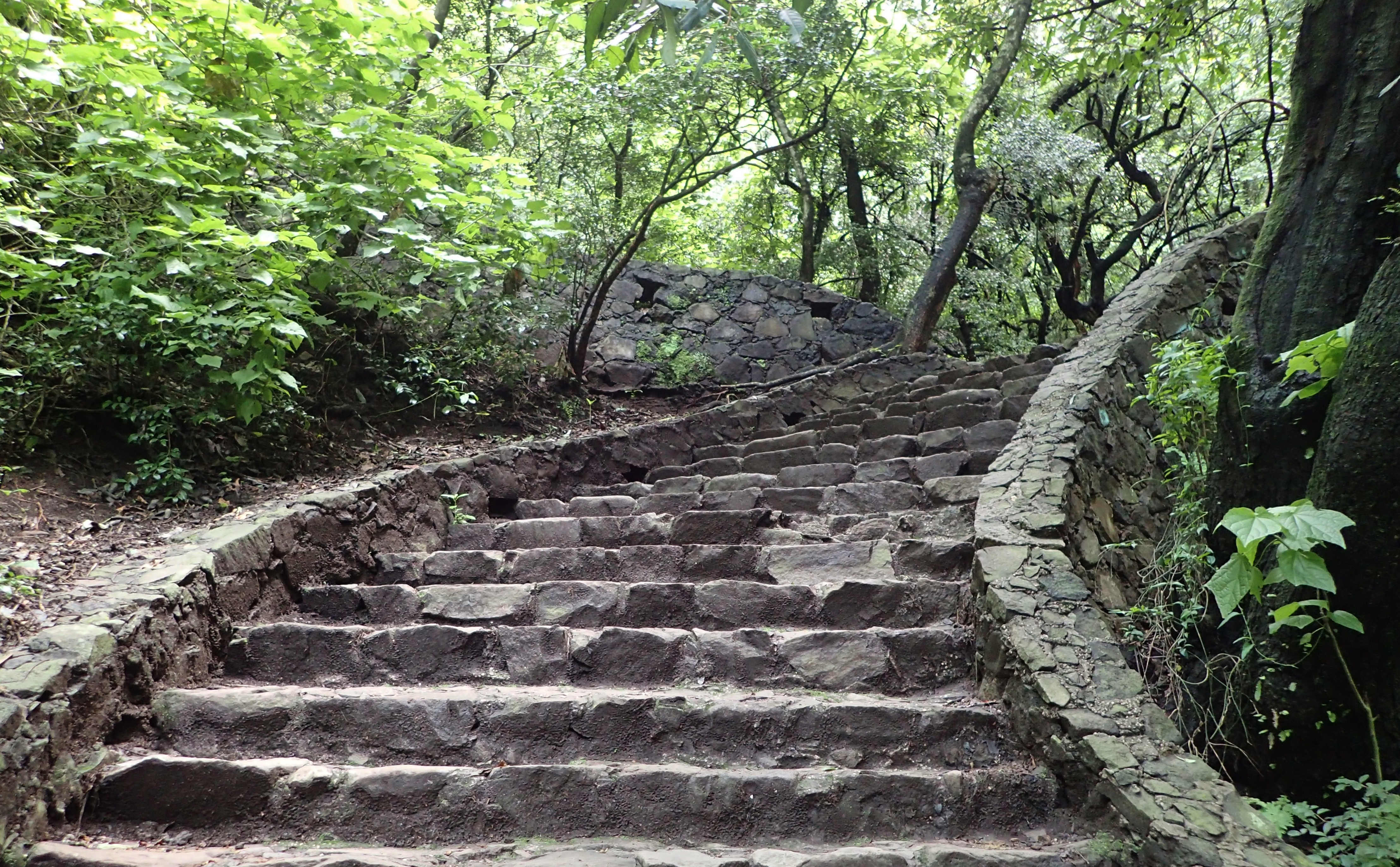
Here’s the aforementioned path between the town and the ruins
Man, these stairs are for pussies. I liked my jungly route better
Another grandma mural
“Children, obey your parents.” Even if your parents tell you to jump off a bridge? Should you still obey them then?
Teotihuacán
A Wikipedia le gustaría informarles que: “Teotihuacán is an ancient Mesoamerican city located in the State of Mexico 25 miles northeast of modern-day Mexico City, known today as the site of many of the most architecturally significant Mesoamerican pyramids built in the pre-Columbian Americas…At its zenith, perhaps in the first half of the 1st millennium AD, Teotihuacan was the largest city in the pre-Columbian Americas, with a population estimated at 125,000 or more, making it at least the sixth largest city in the world during its epoch.”
Vendedores ambulantes
Pyramid of the Sun
¡Chúpalo Pirámide del Sol!
Pyramid of the Moon as seen from the top of the Sun Pyramid
Sun Pyramid as seen from the Pyramid of the Moon
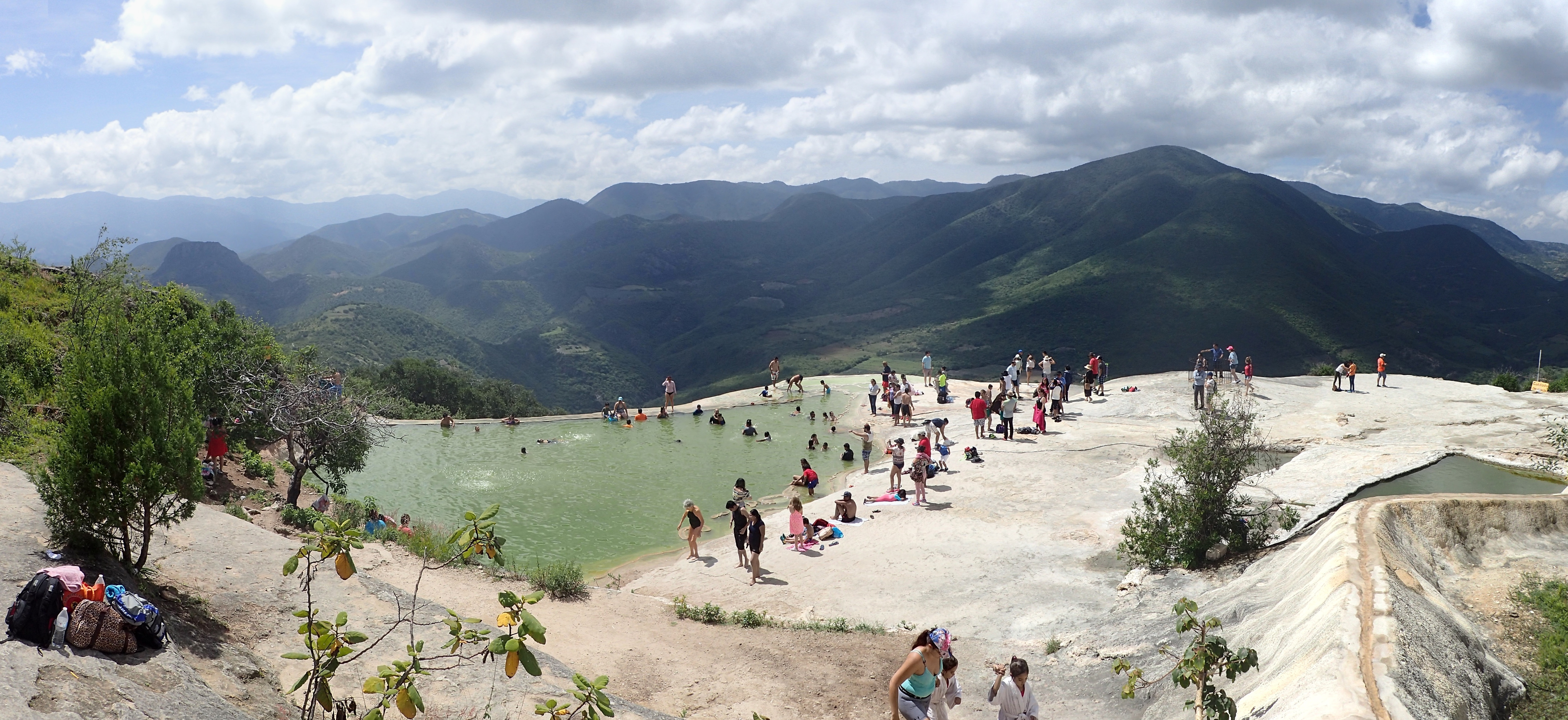
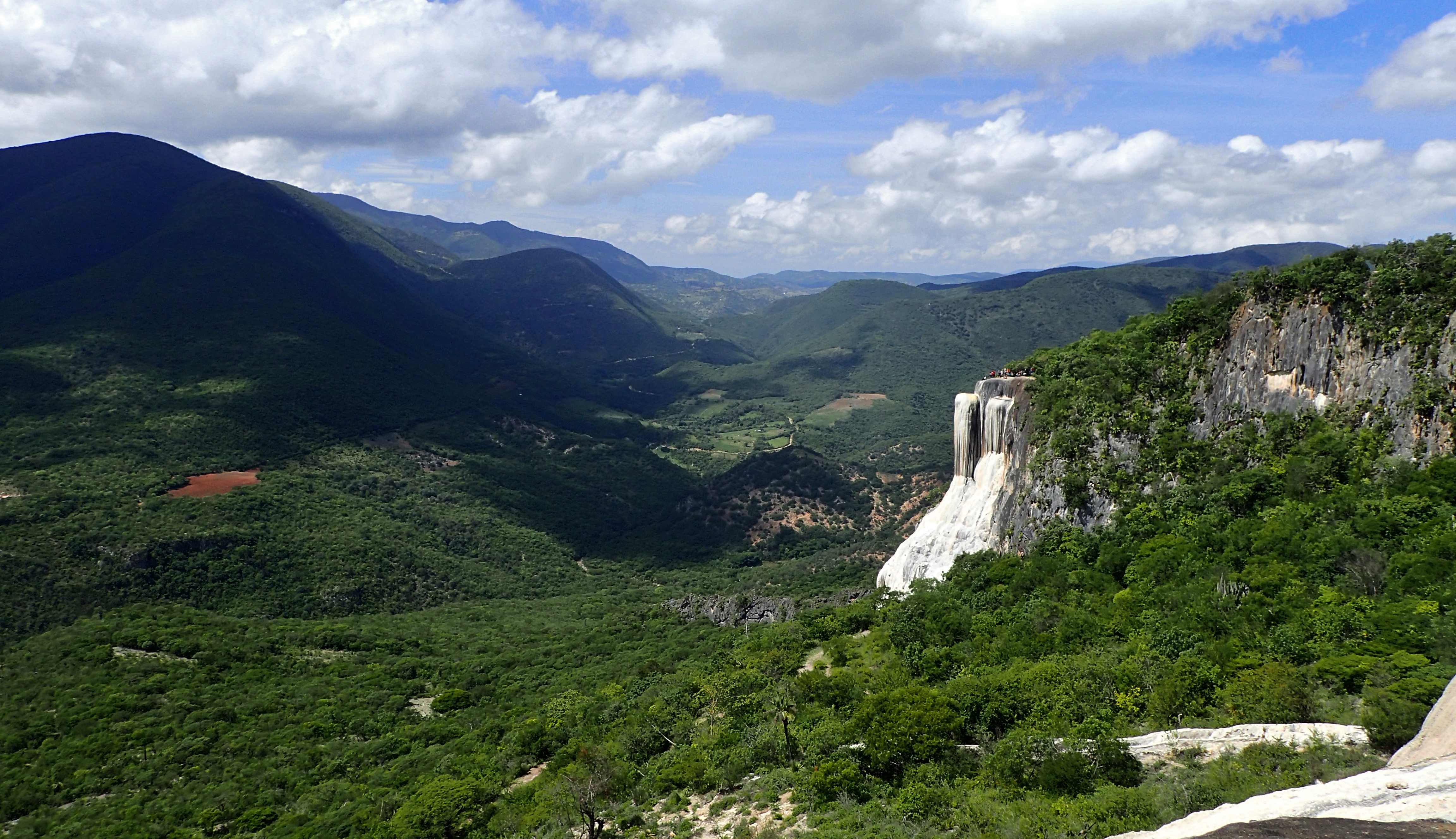
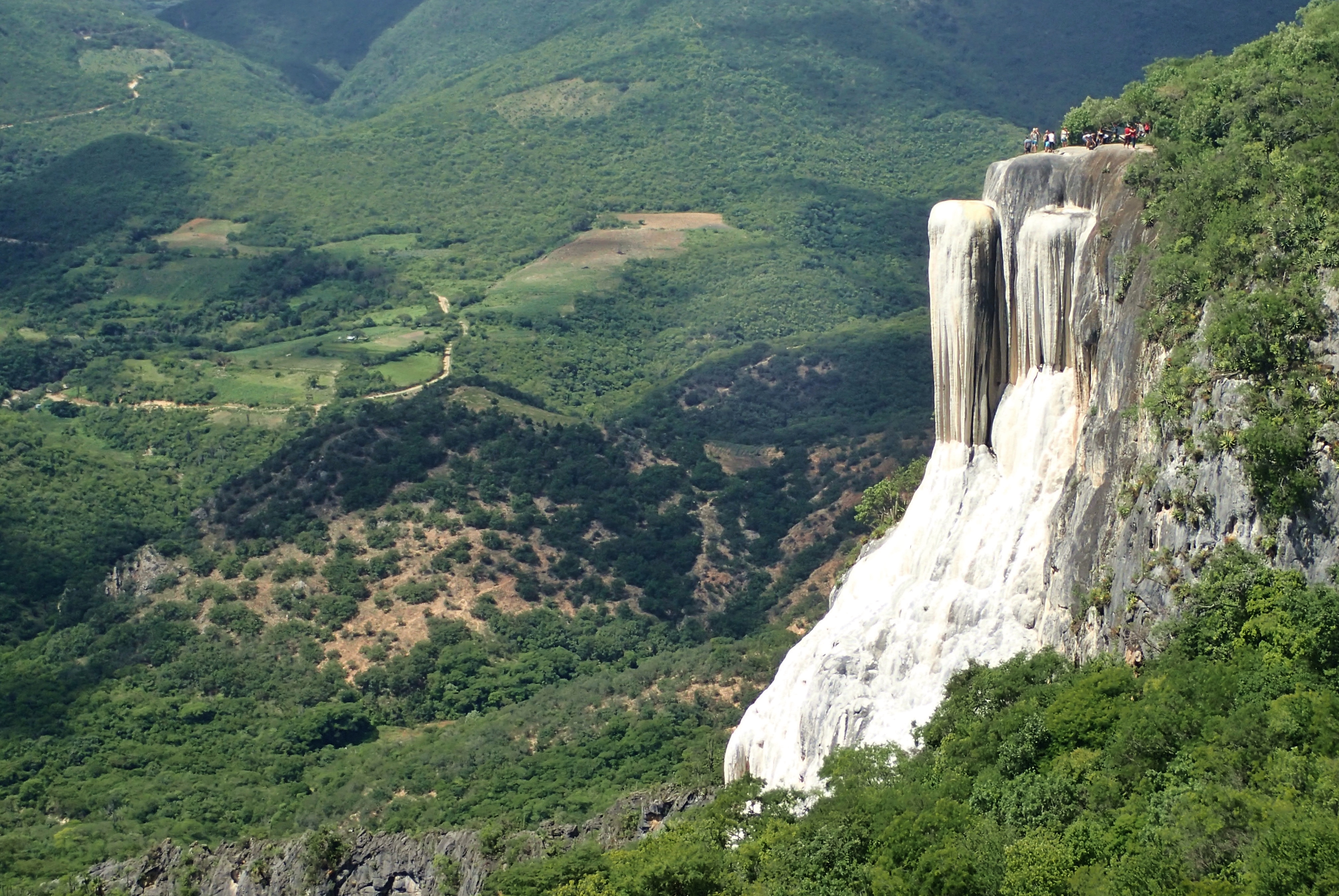
Hierve el Agua
I get that it’s some sort of car-racing jacket and this guy probably thinks he looks pretty sharp in it, but fuck…I’d be embarrassed to wear that shit. It’s just like taking a megaphone and shouting to the world, “My dick don’t work! But that’s okay though!. Because there’s a little blue pill that can get me as hard as I’d been 30 years ago!”
Hierve el Agua translates to “the water boils” in English
Wikipedia says, “The site consists of two rock shelves or cliffs which rise between fifty and ninety meters from the valley below, from which extend pearly white rock formations which look like waterfalls. These formations are created by fresh water springs, whose water is over-saturated with calcium carbonate and other minerals. As the water scurries over the cliffs, the excess minerals are deposited.” On the right side of the photo is one of the rock shelves. Y’all ain’t gonna see the other one because I was standing on it.
The petrified waterfall closer up
Cascada grande with a bunch of people standing atop it
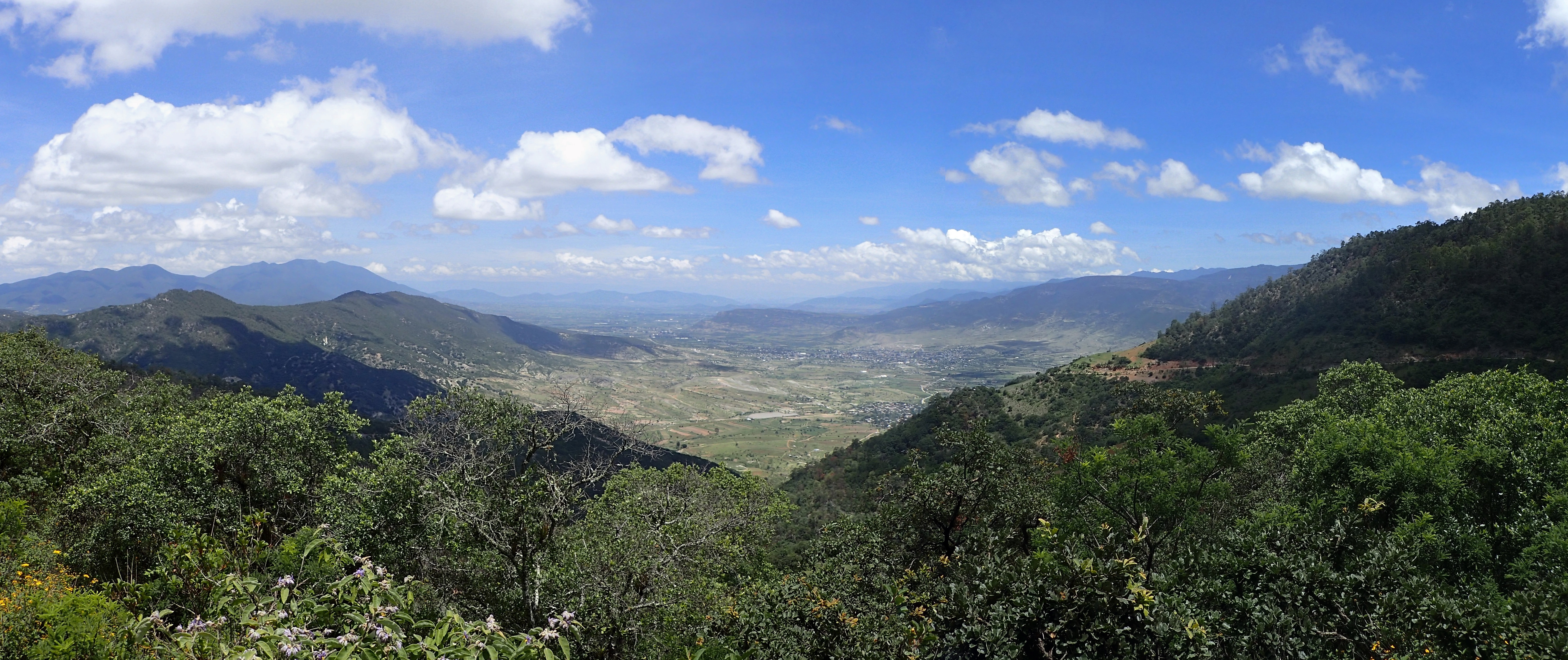
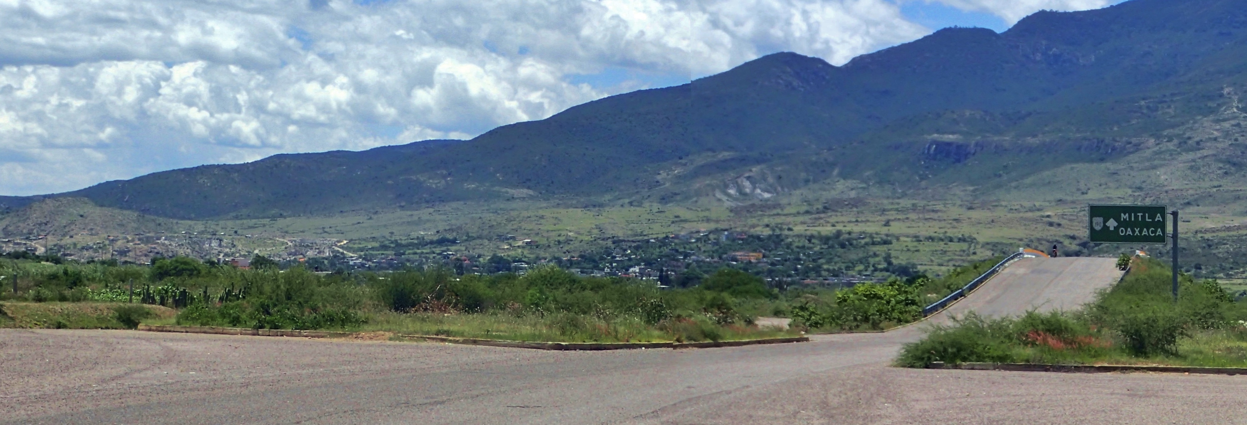
Early in the morning I’d taken a shared taxi from Oaxaca to a town called Mitla and another from Mitla to Hierve el Agua. When I was done checking out the hot springs, I wasn’t in a big rush to get back to my hotel in Oaxaca so I decided to walk through the hills back to Mitla. Here are the photos from that trek…
Mitla lies somewhere down yonder
Paso a paso, sigo caminando
Hacienda
Una foto más cercana of the rural crib from the photo previous
“The healthy development and growth of children is the responsibility of the parents.”
This translates as “Oaxaca raffle until the end” and didn’t make much sense to me so I googled what “Oaxaca Rifa” might mean and it turned out to be a TV show “inspired by the sounds, the flavors and the colors of Oaxaca.”
Approaching Mitla several hours later
Looking back at the road I’d traversed from Hierve el Agua
The Godfather pizza parlor in Mitla
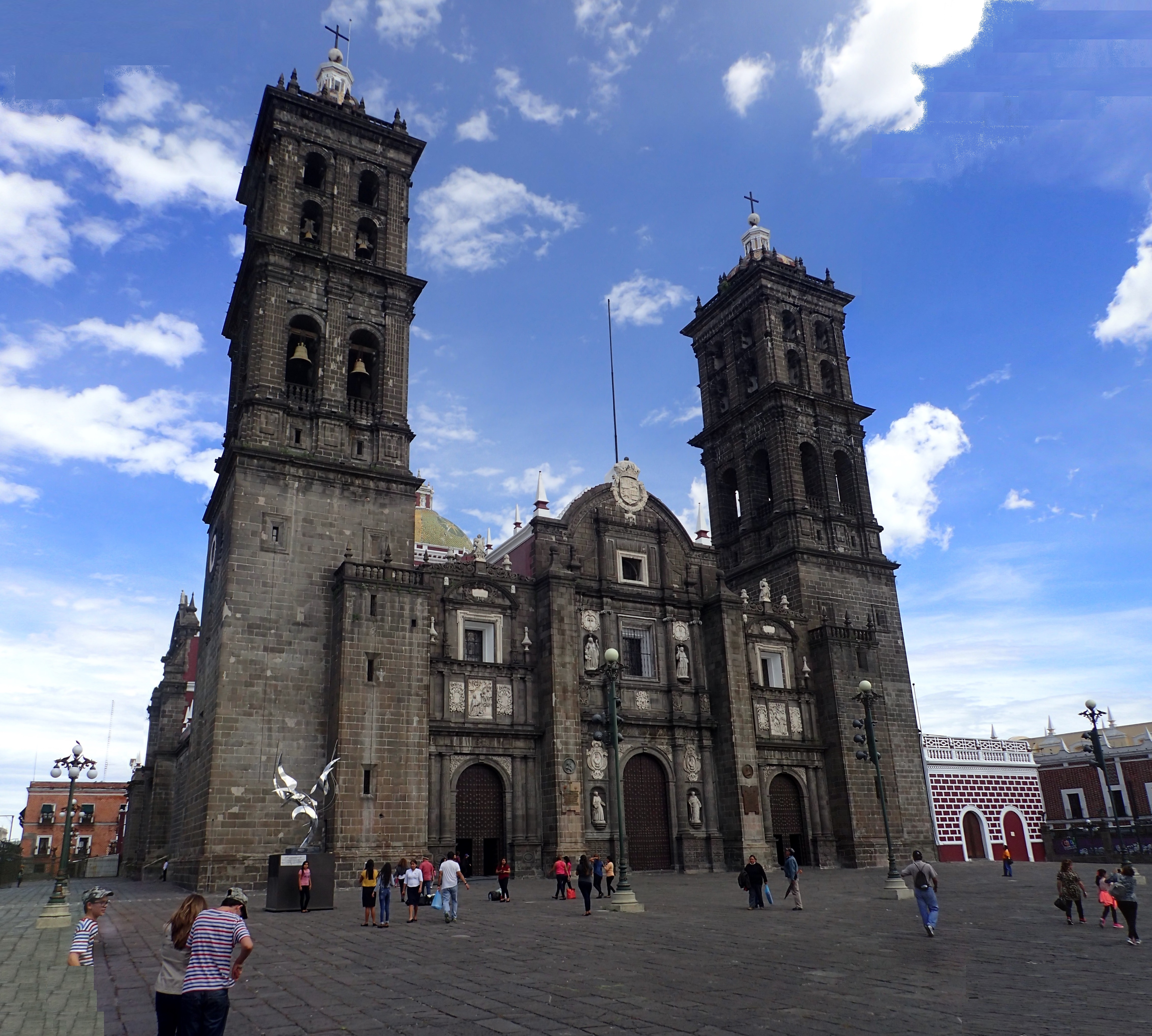
Puebla
Construction on Puebla Cathedral started in 1575, but it wasn’t completed until 1690
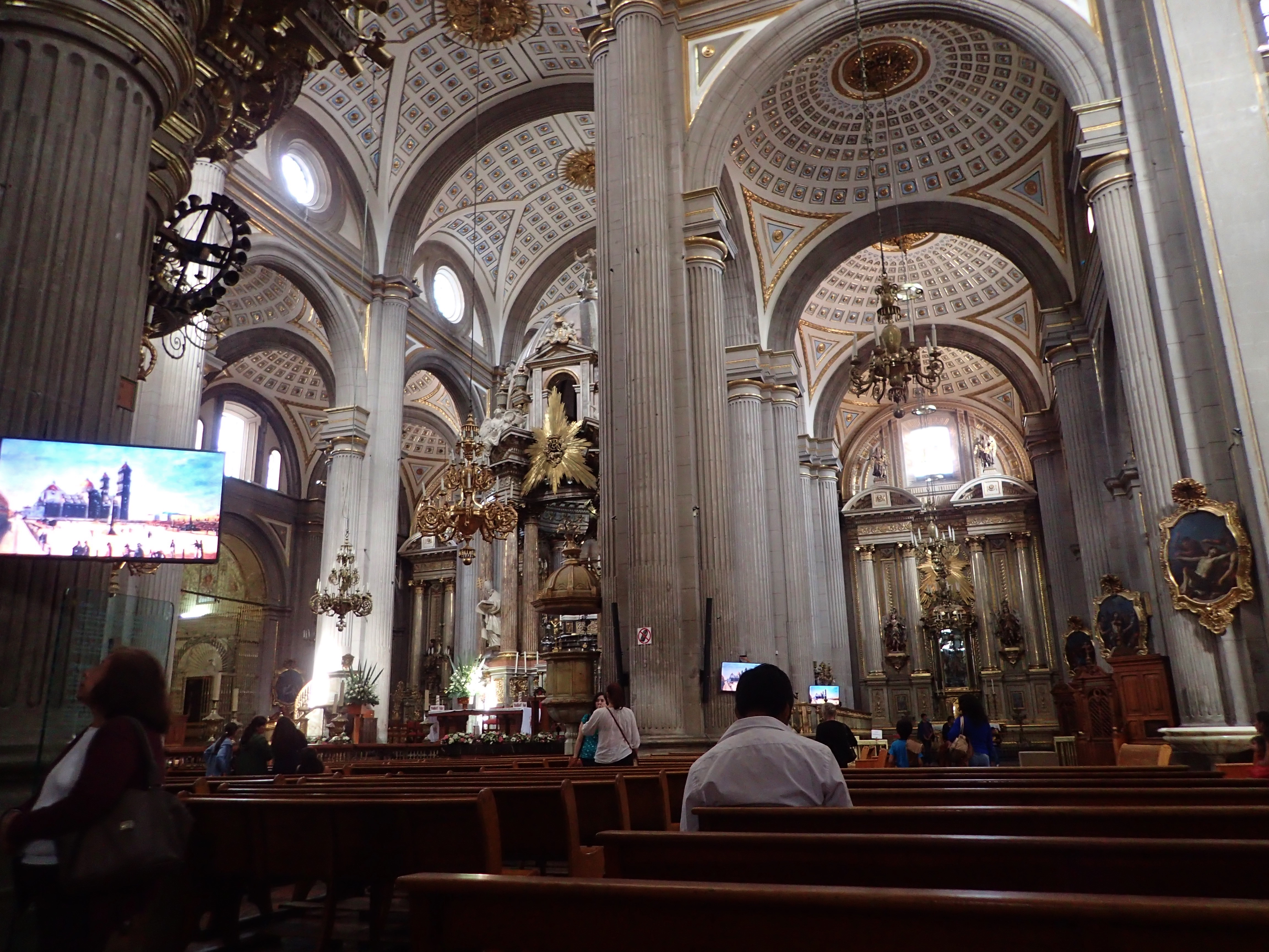
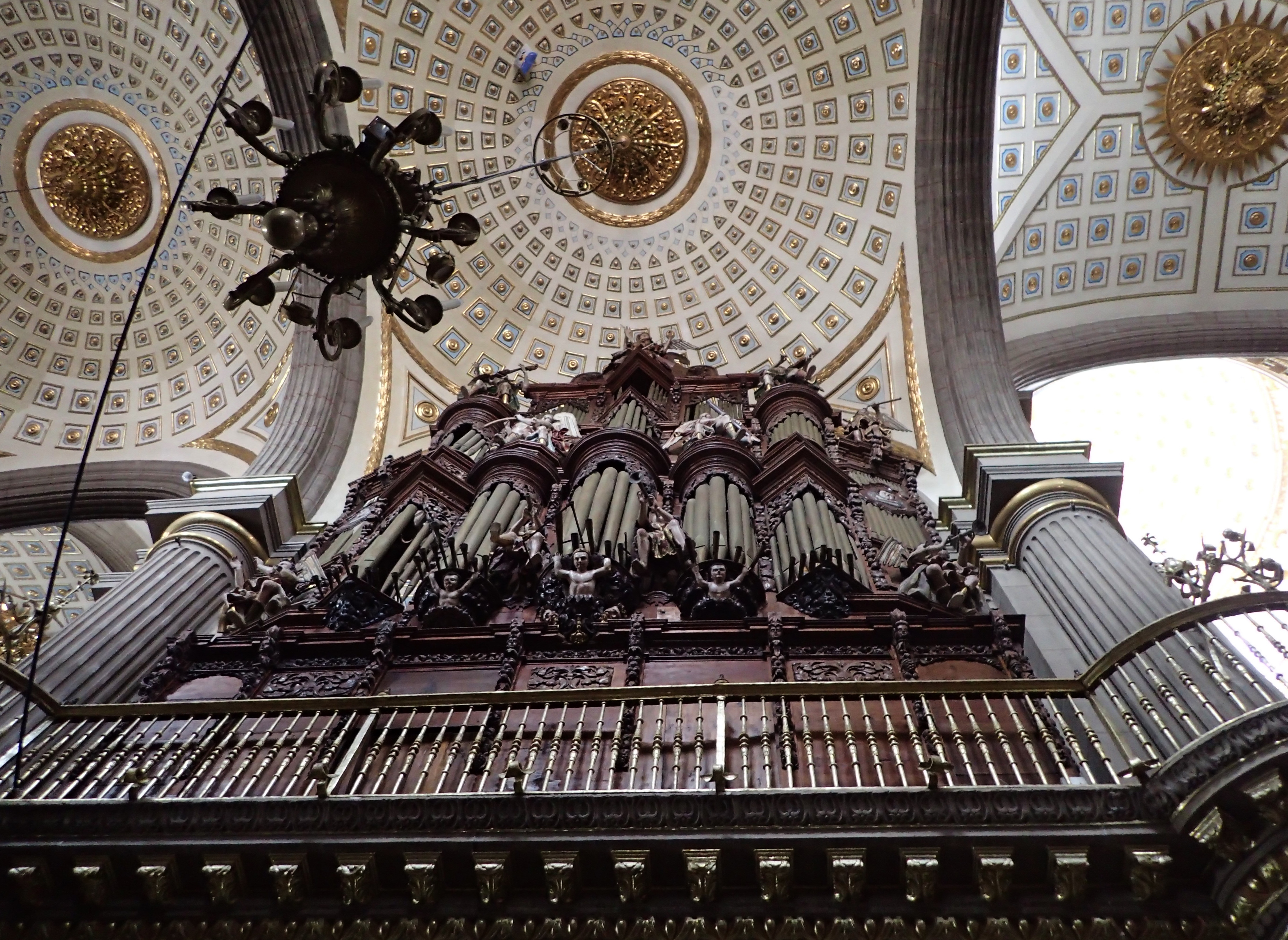
Inside the Cathedral
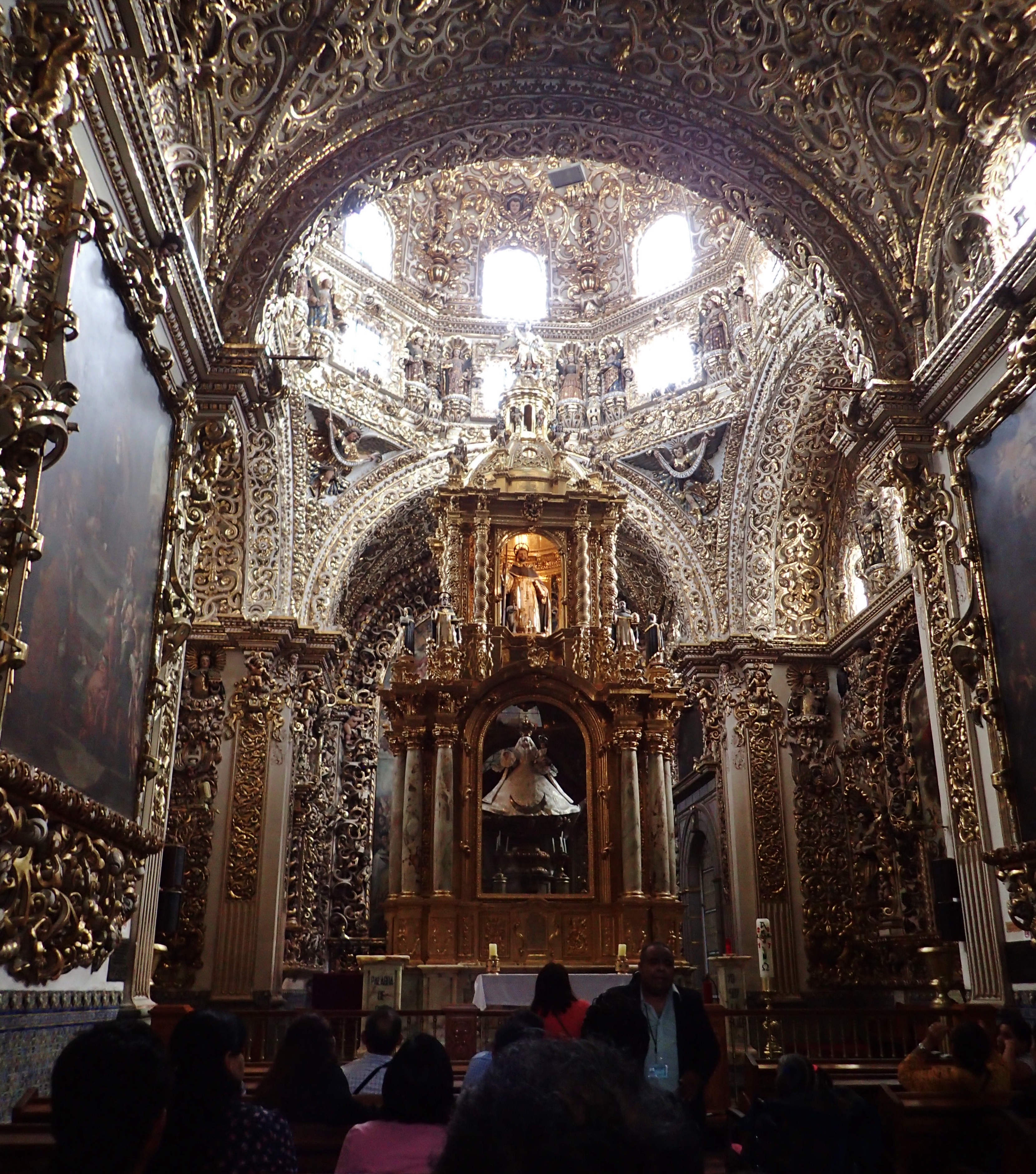
Oro
Da roof
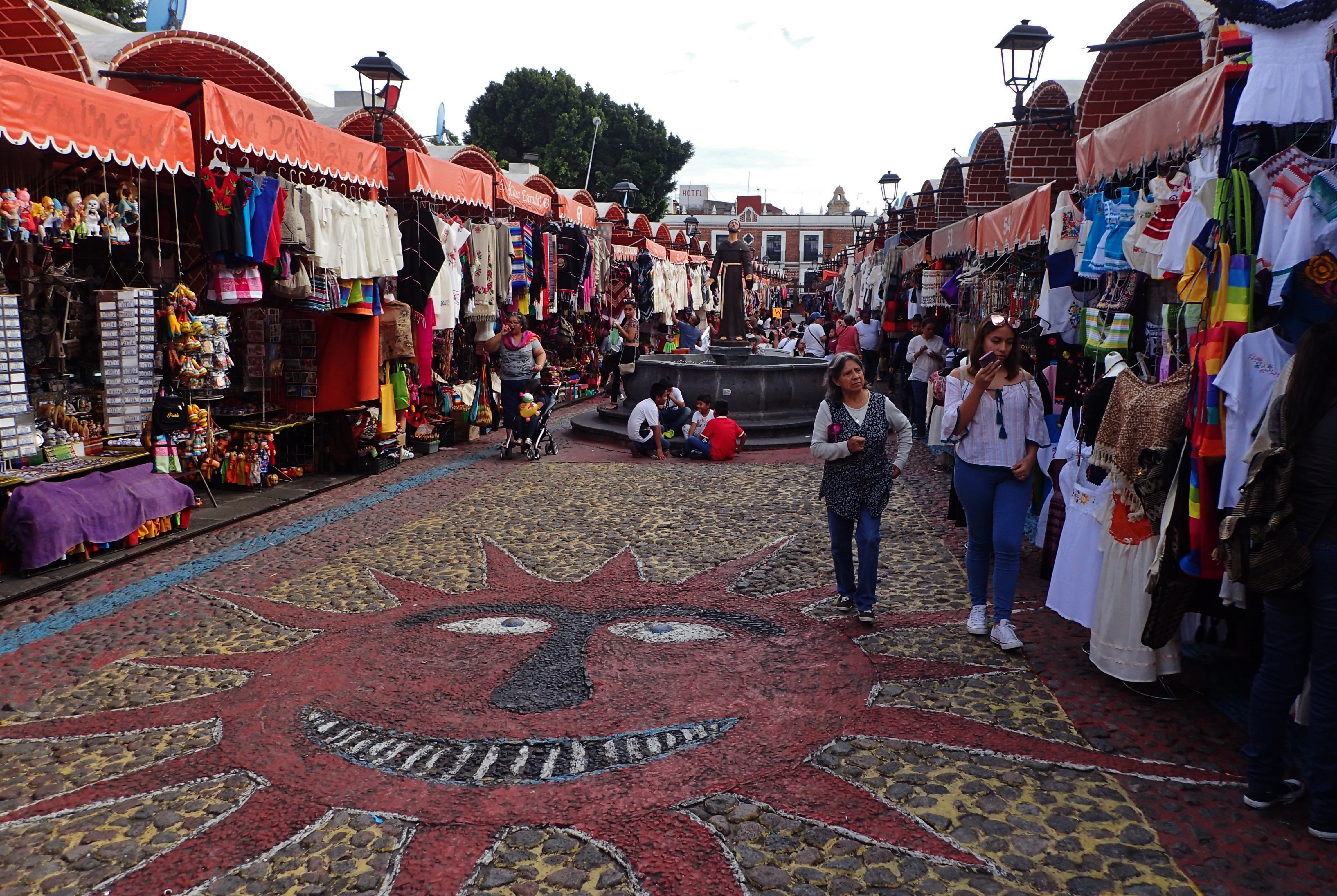
Souvenir market
Selling handicrafts
This guy’s shirt inspired me to go back to my hotel and stick as many tacos up my butt as humanly possible
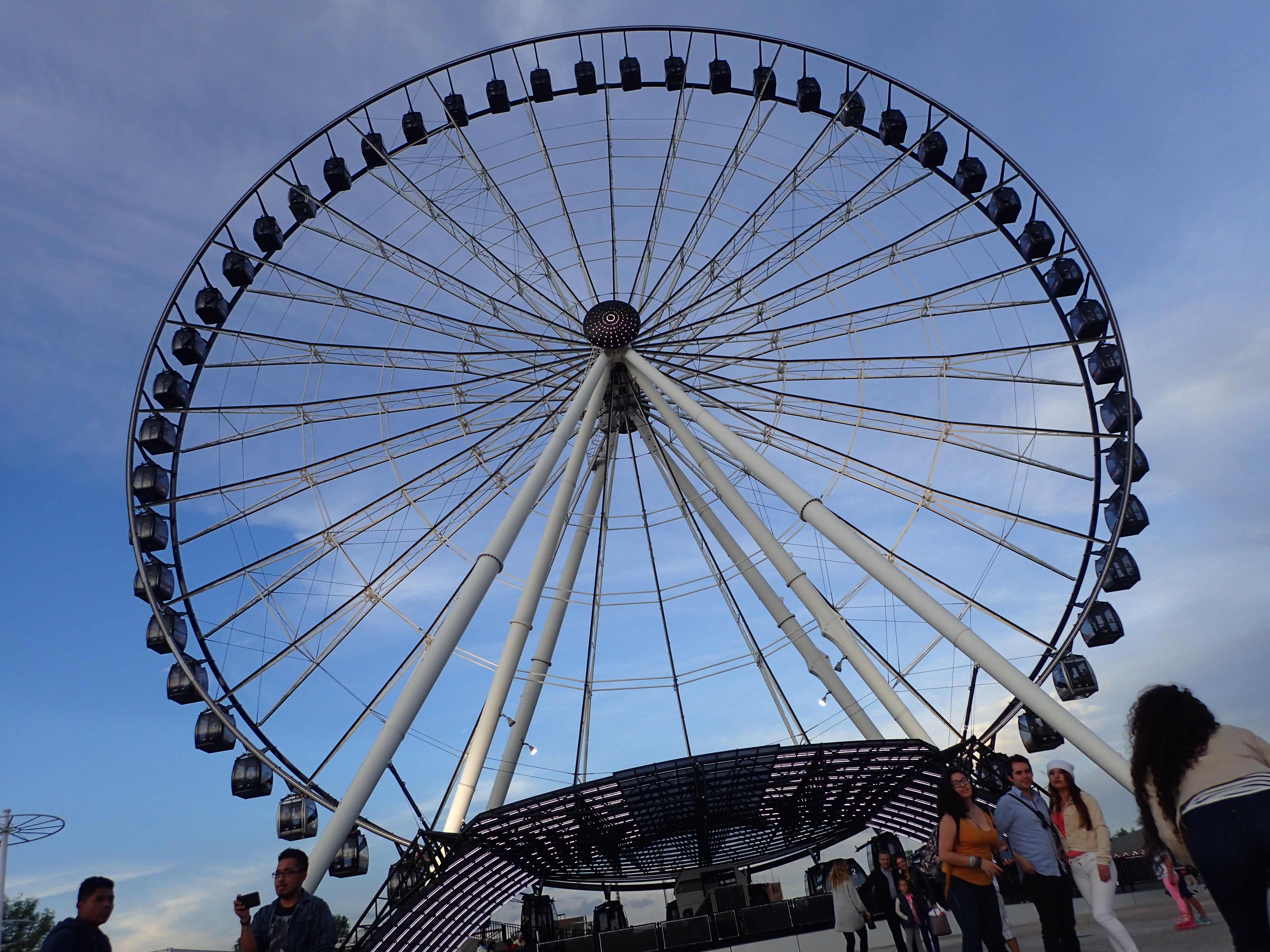
La Estrella de Puebla
La Estrella opened in July of 2013 and is approximately 260-feet-tall
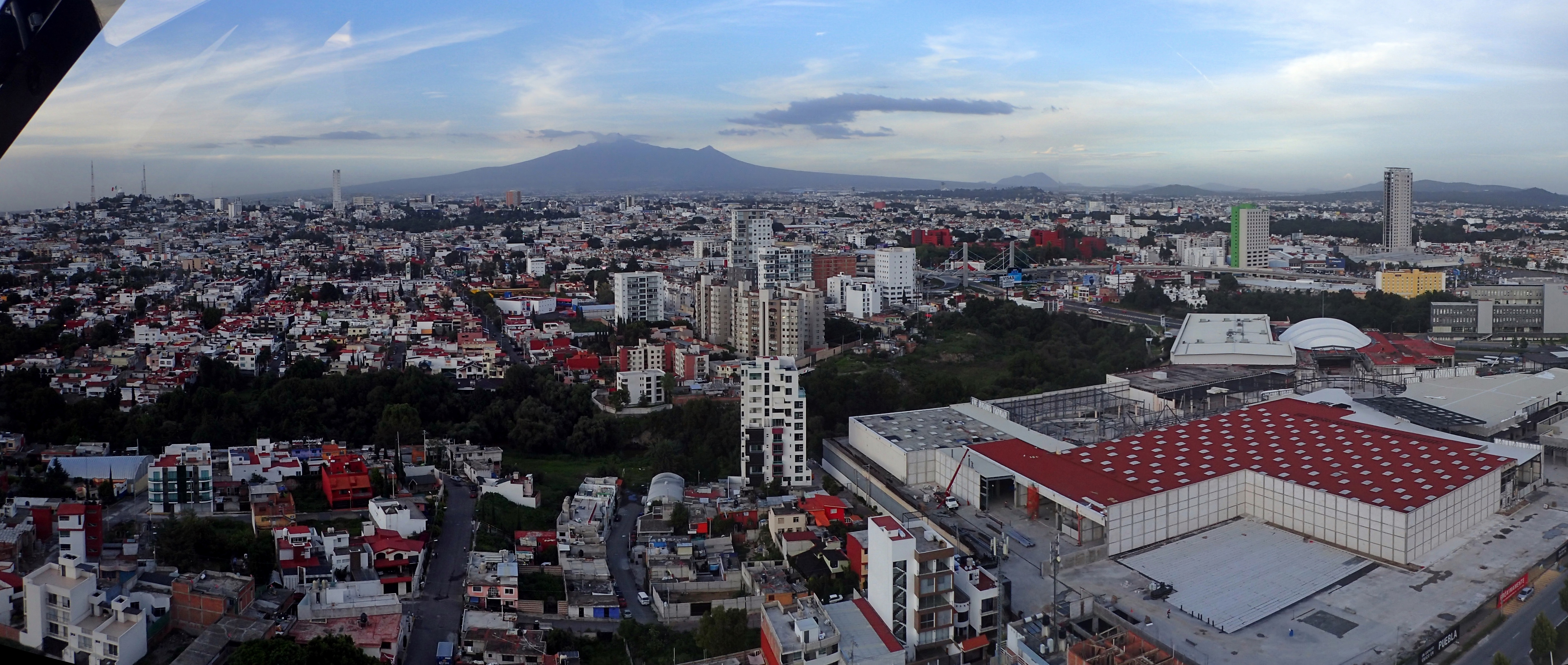
Puebla as seen from the top of La Estrella
Palenque
Someone listening to the stomach of a pregnant woman or dude getting his dick sucked?
Palenque is an ancient Mayan city that is currently located in the Mexican state of Chiapas down by Guatemala
The Palace
Inside the palace
Temple of the Inscriptions
Temple of the Cross
Different view of the palace
Tabasco
Love the shirt, kid
Bugs conjoined at the ass
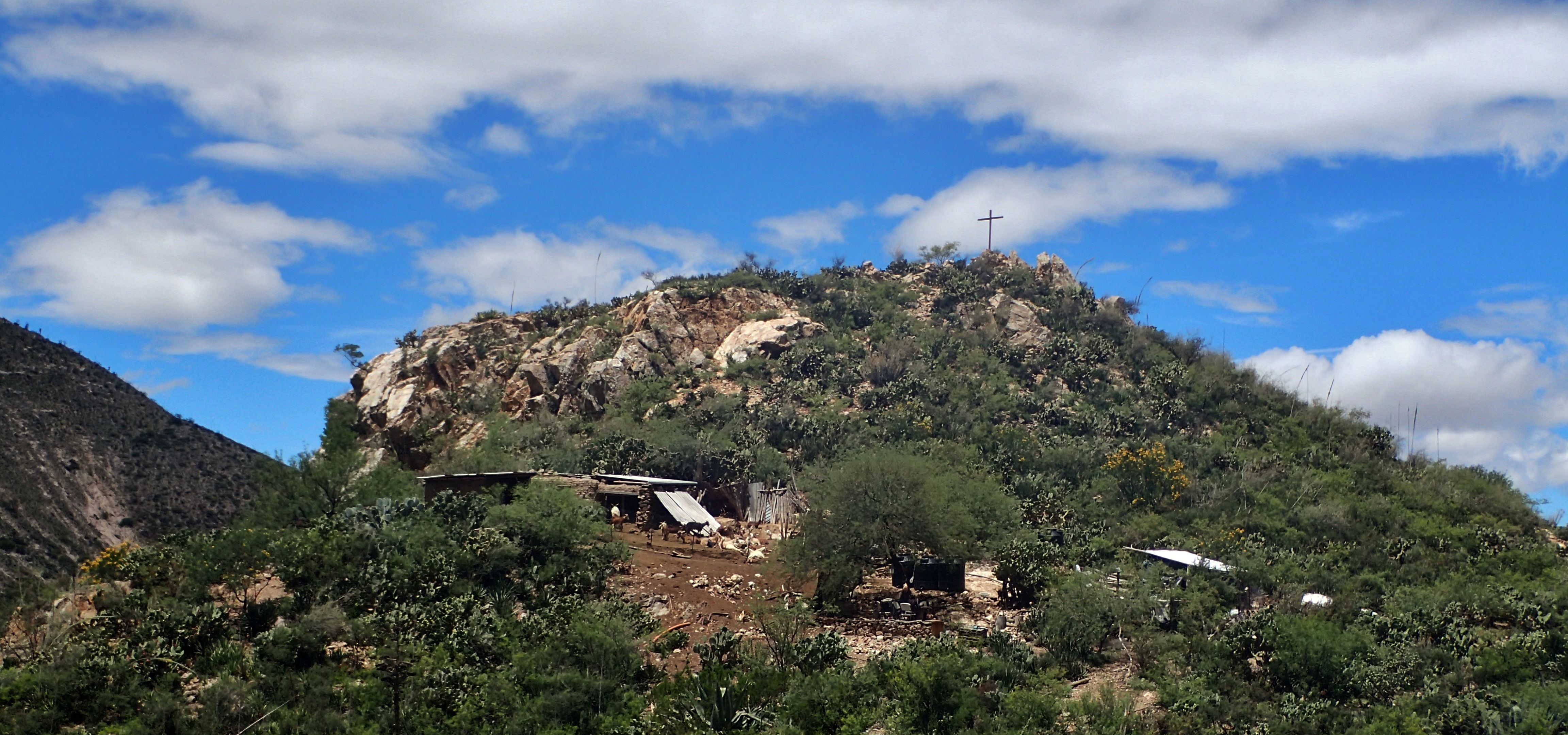
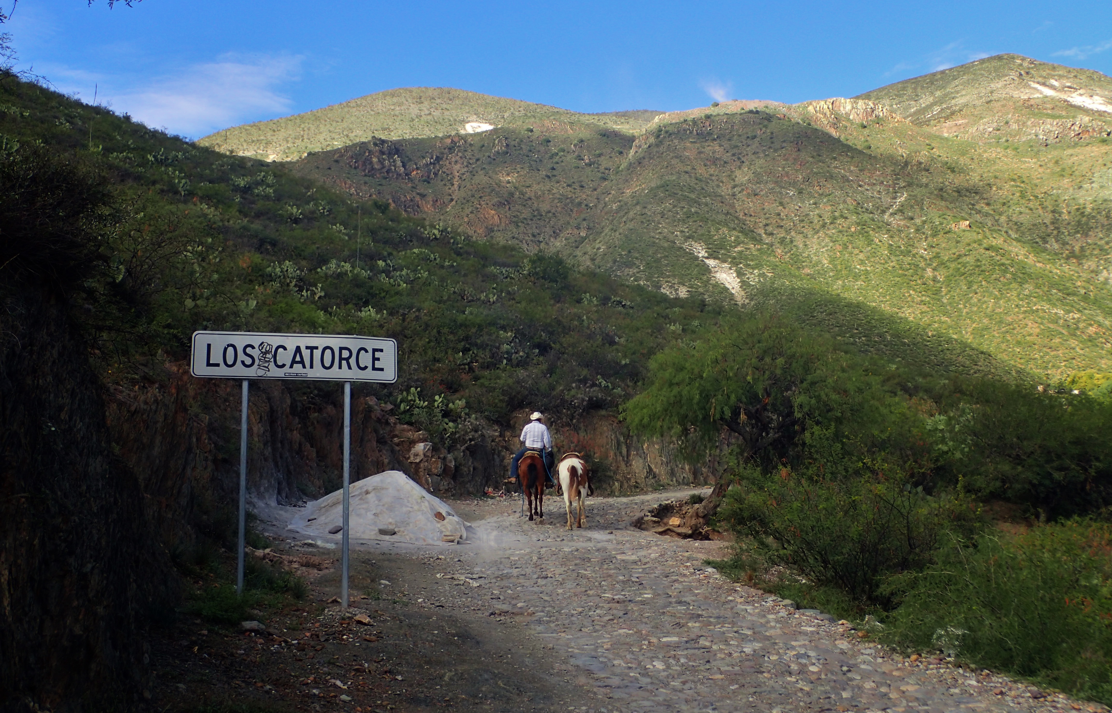
Real de Catorce
Deposito, ‘posito – suave, suavecito
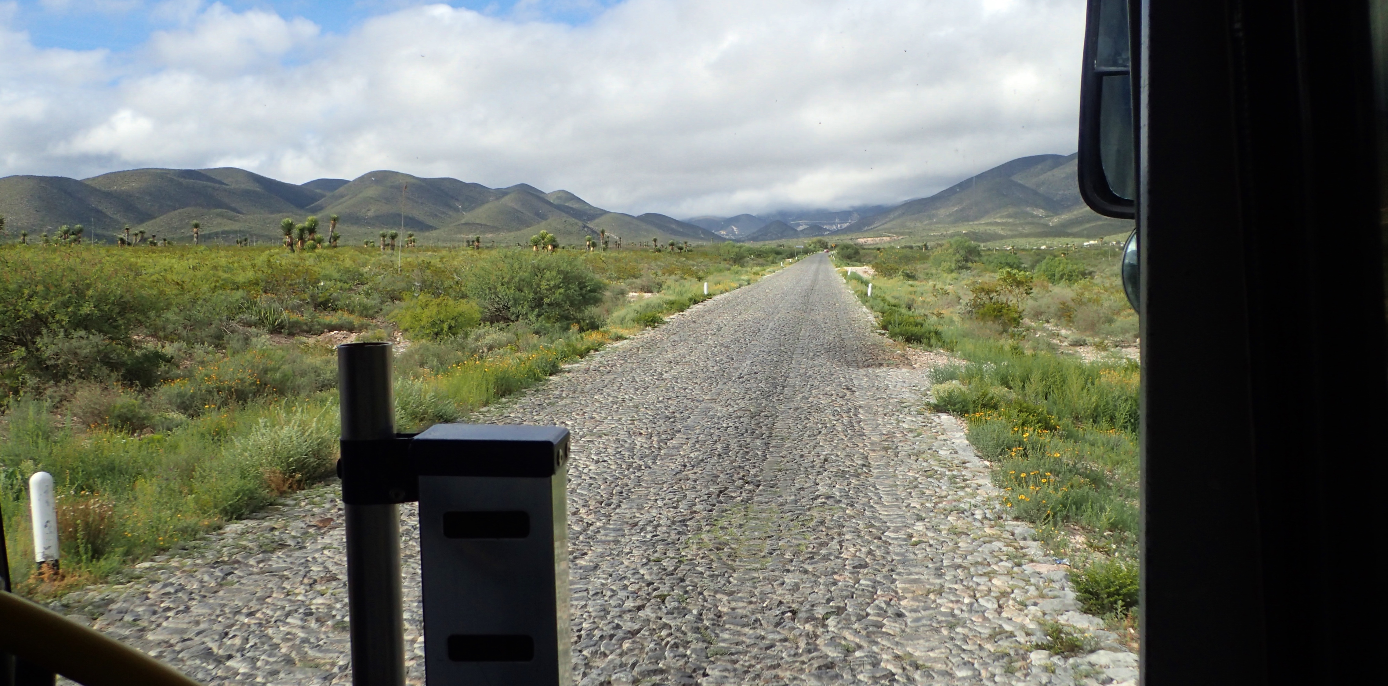
Road leading to the remote town of Real de Catorce in the state of San Luis Potosí
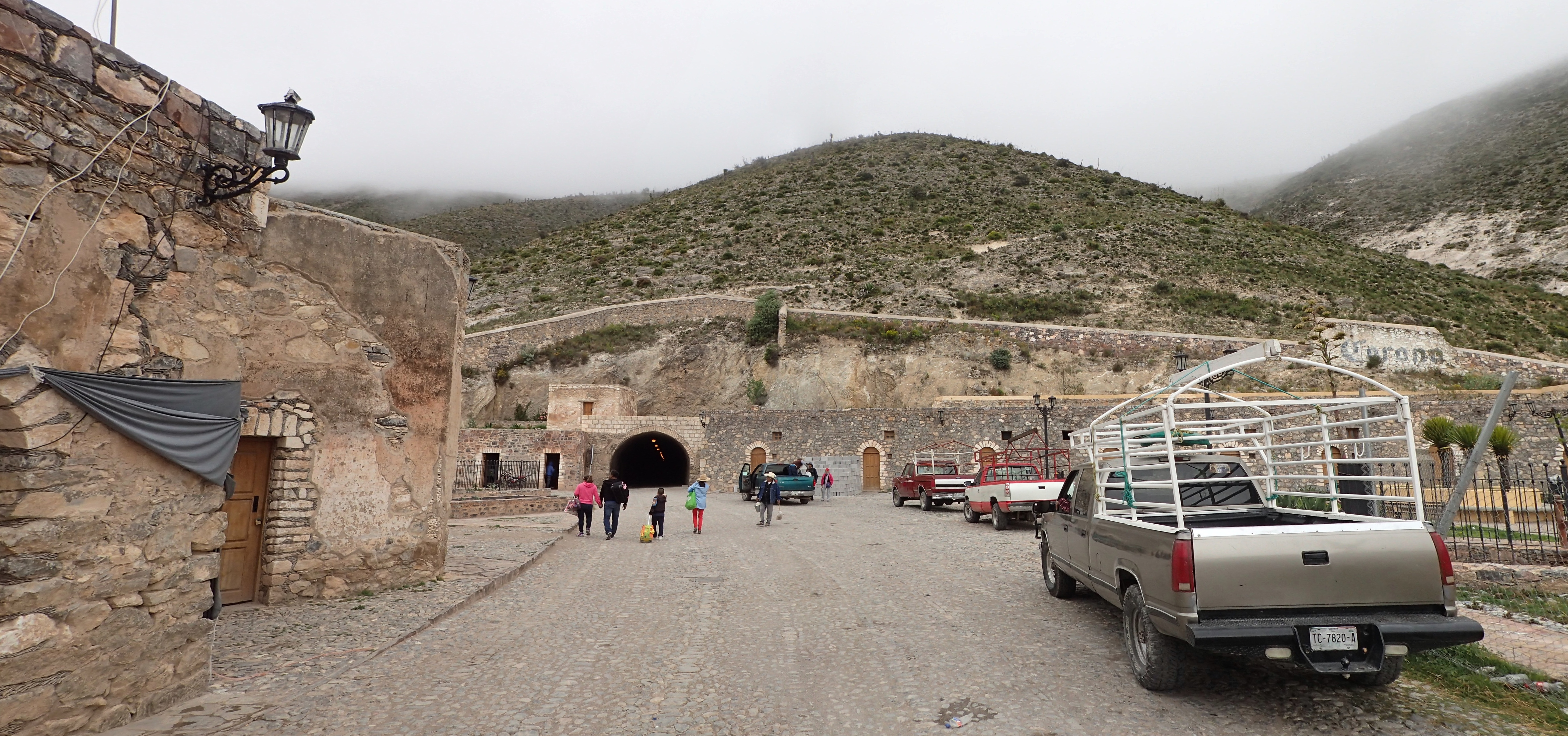
The one-way, 1.5 mile Ogarrio Tunnel leading into Real. Here we are waiting for outbound traffic to come through before we get the go-ahead to enter
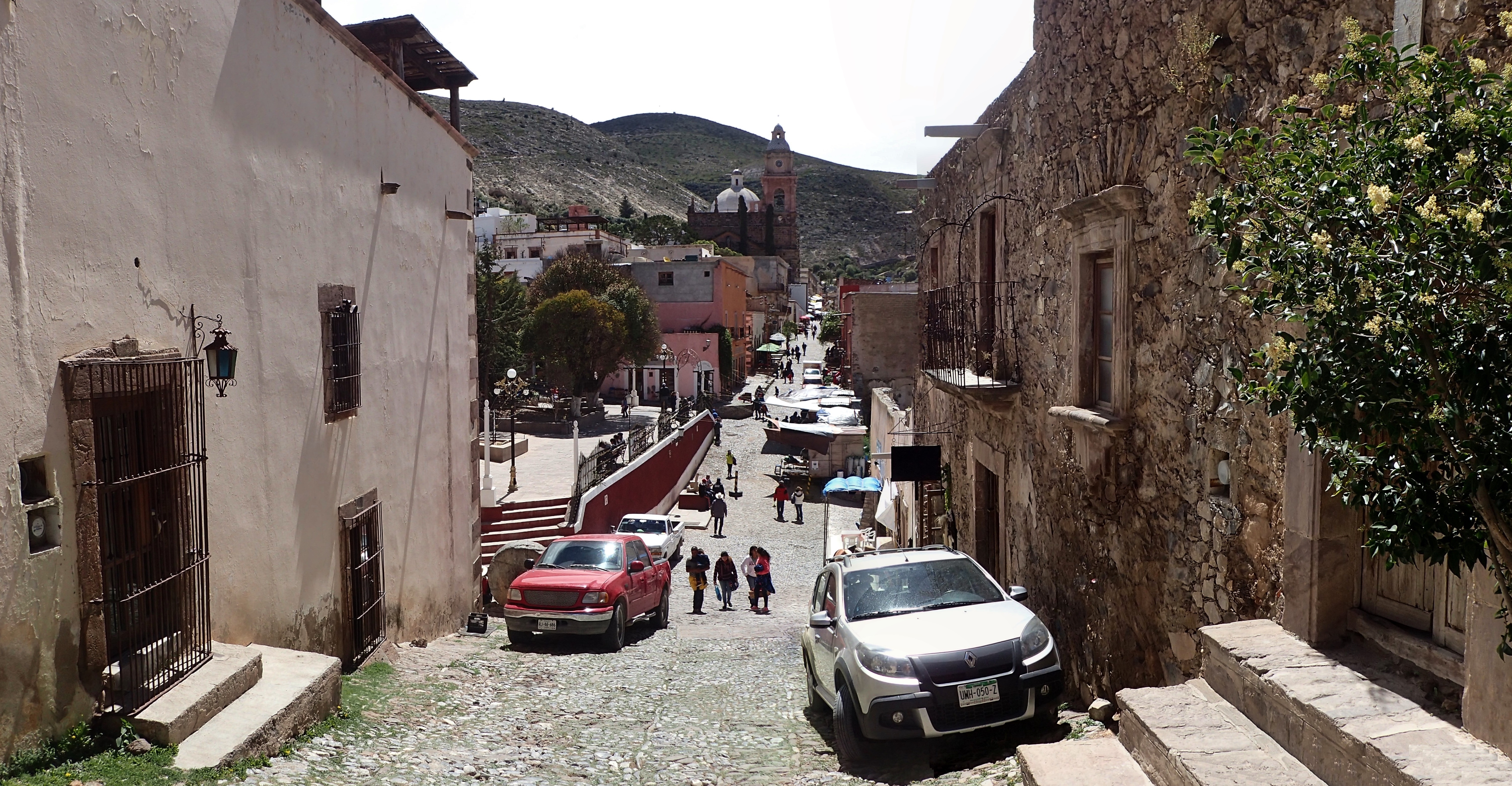
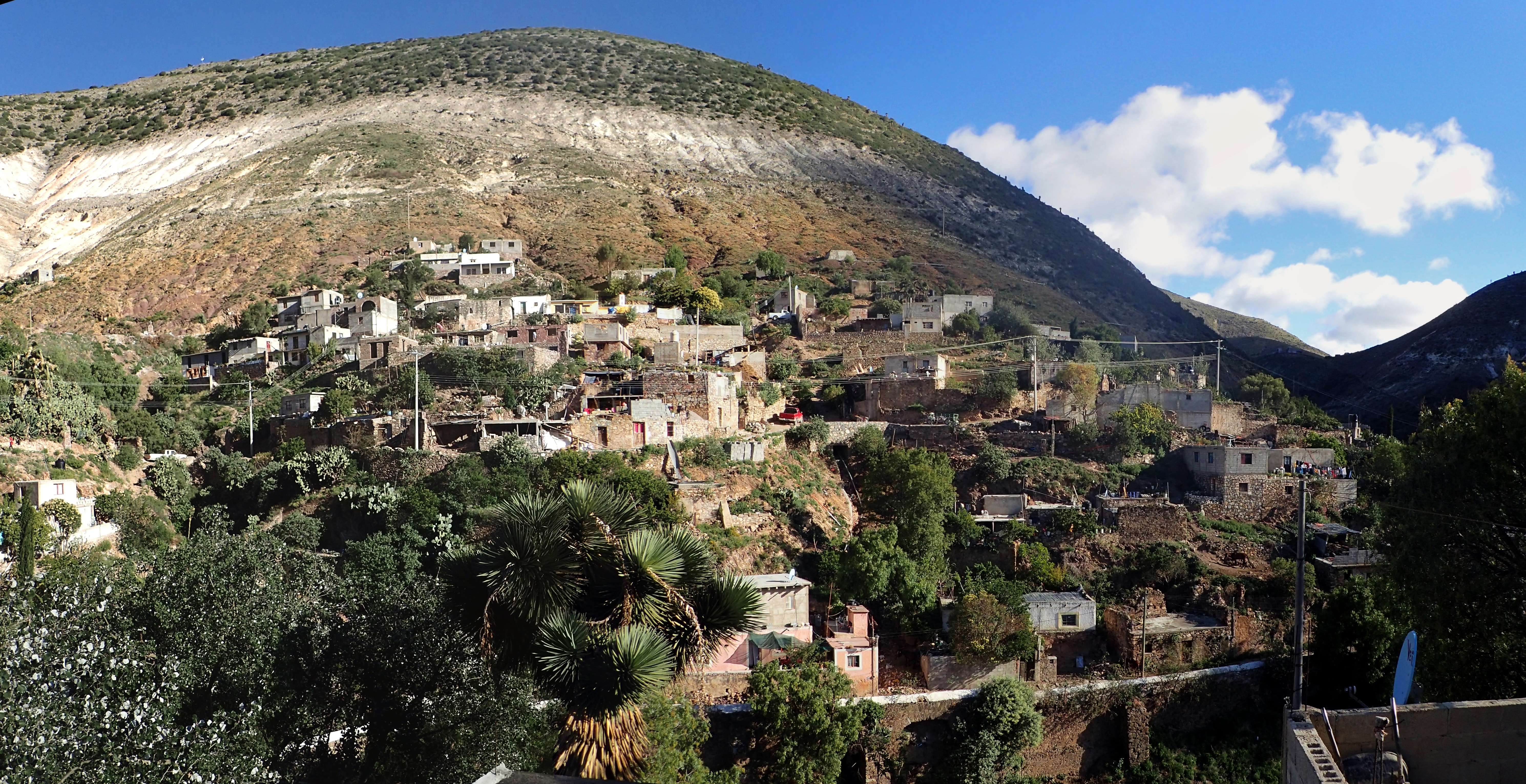
During its silver-mining heyday back in the late 19th century, Real de Catorce had a population of somewhere around 15,000. As of the count in 2010, Real was considered home to a measly 1,392 people.
The town sits at an elevation of 2,743m atop the arid Mexican Plateau in the Sierra de Catorce range
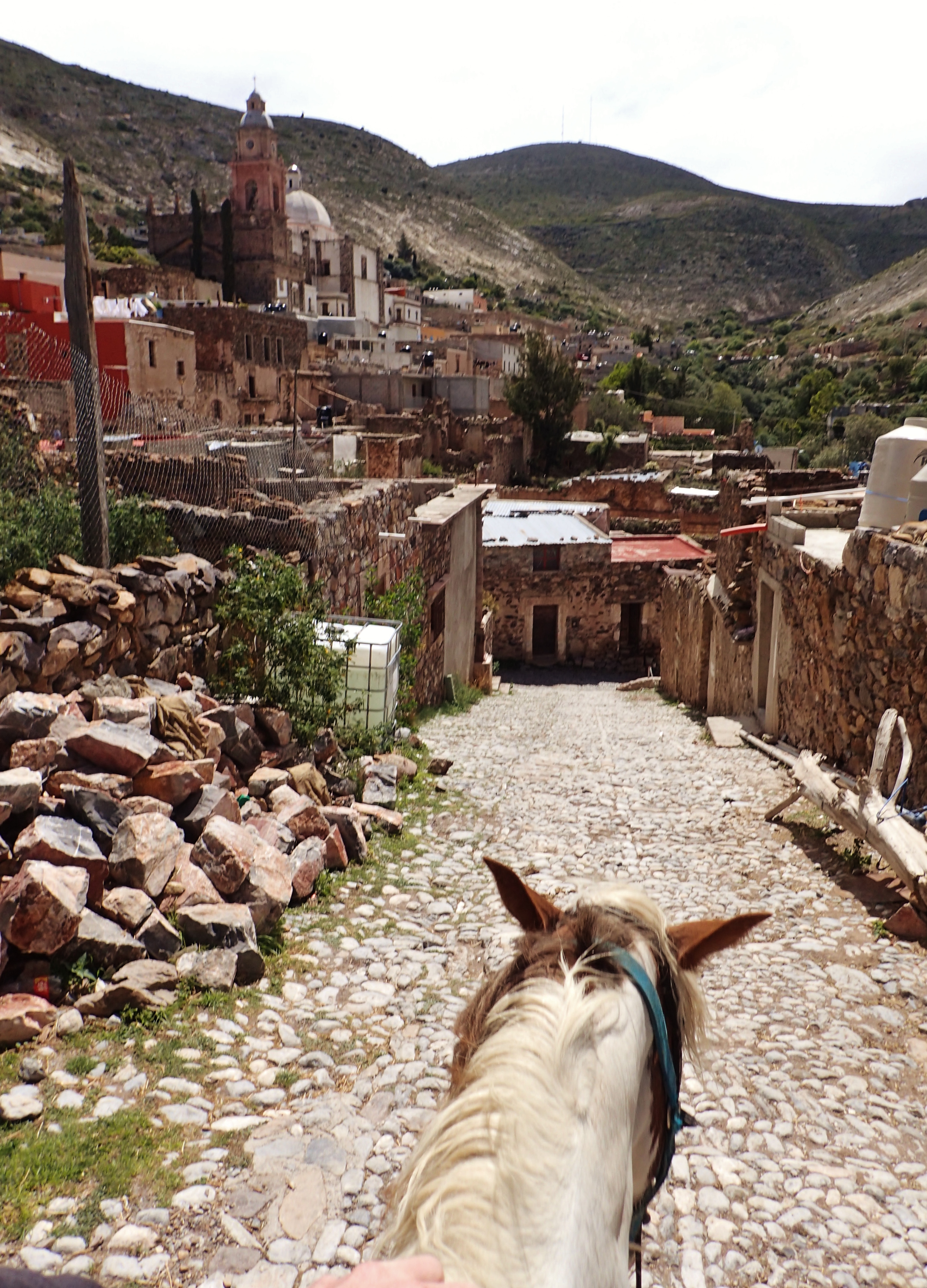
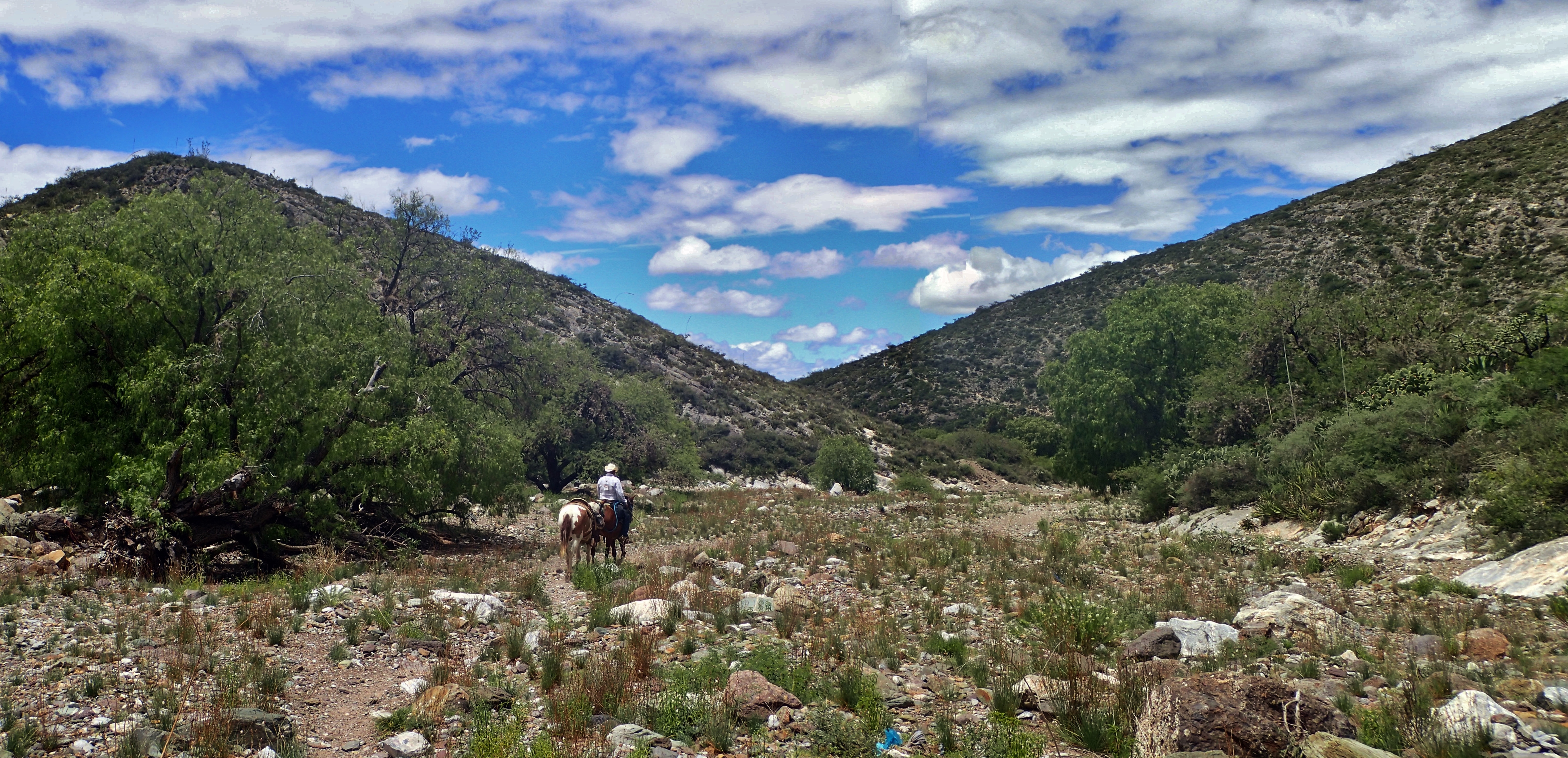
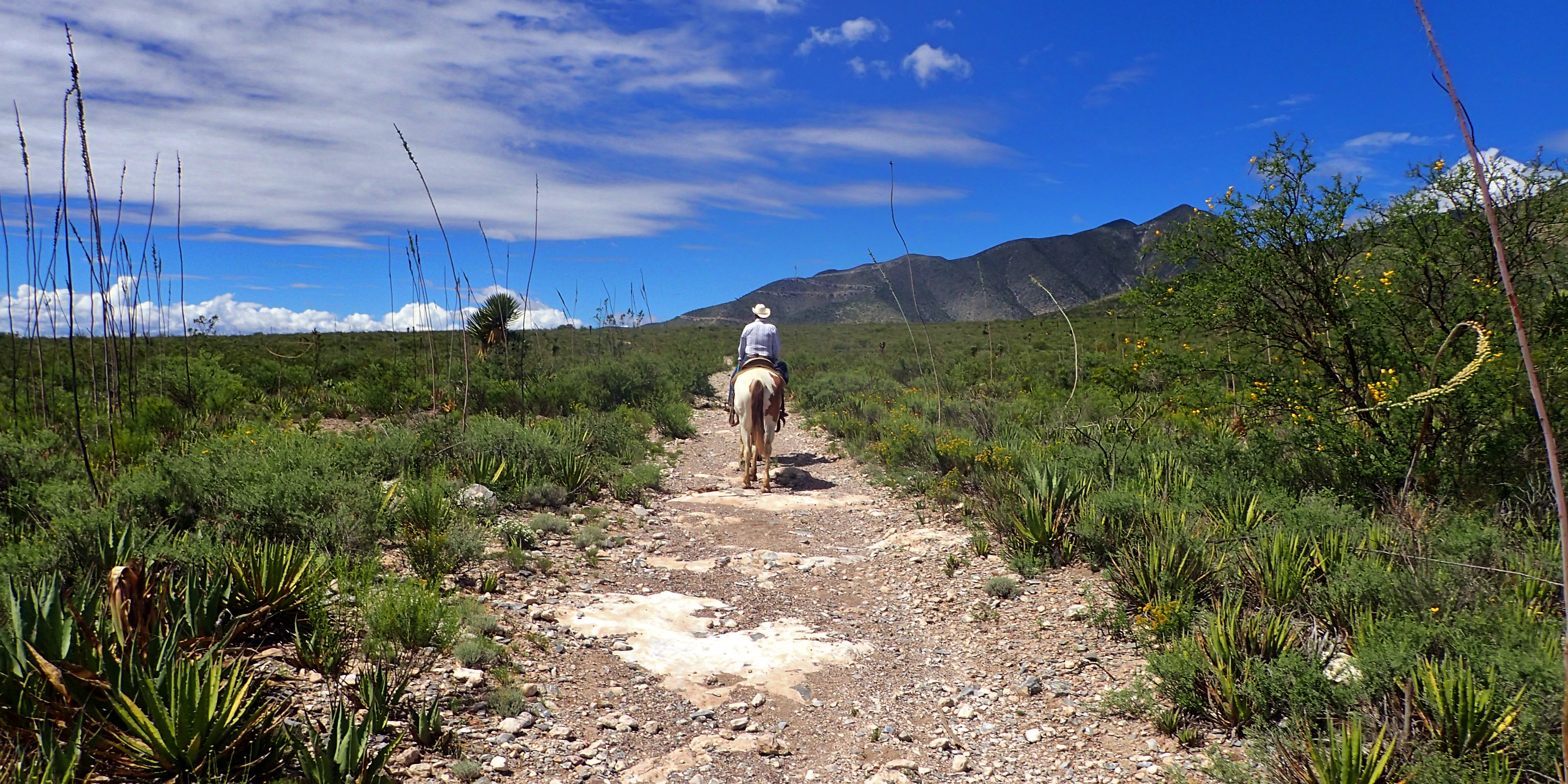
Riding a horse through Real as I begin an excursion down into the desert
The outskirts of town
The road down to the desert
A jeep known as a “willy” taking some folks from Real down into the desert
En camino al desierto
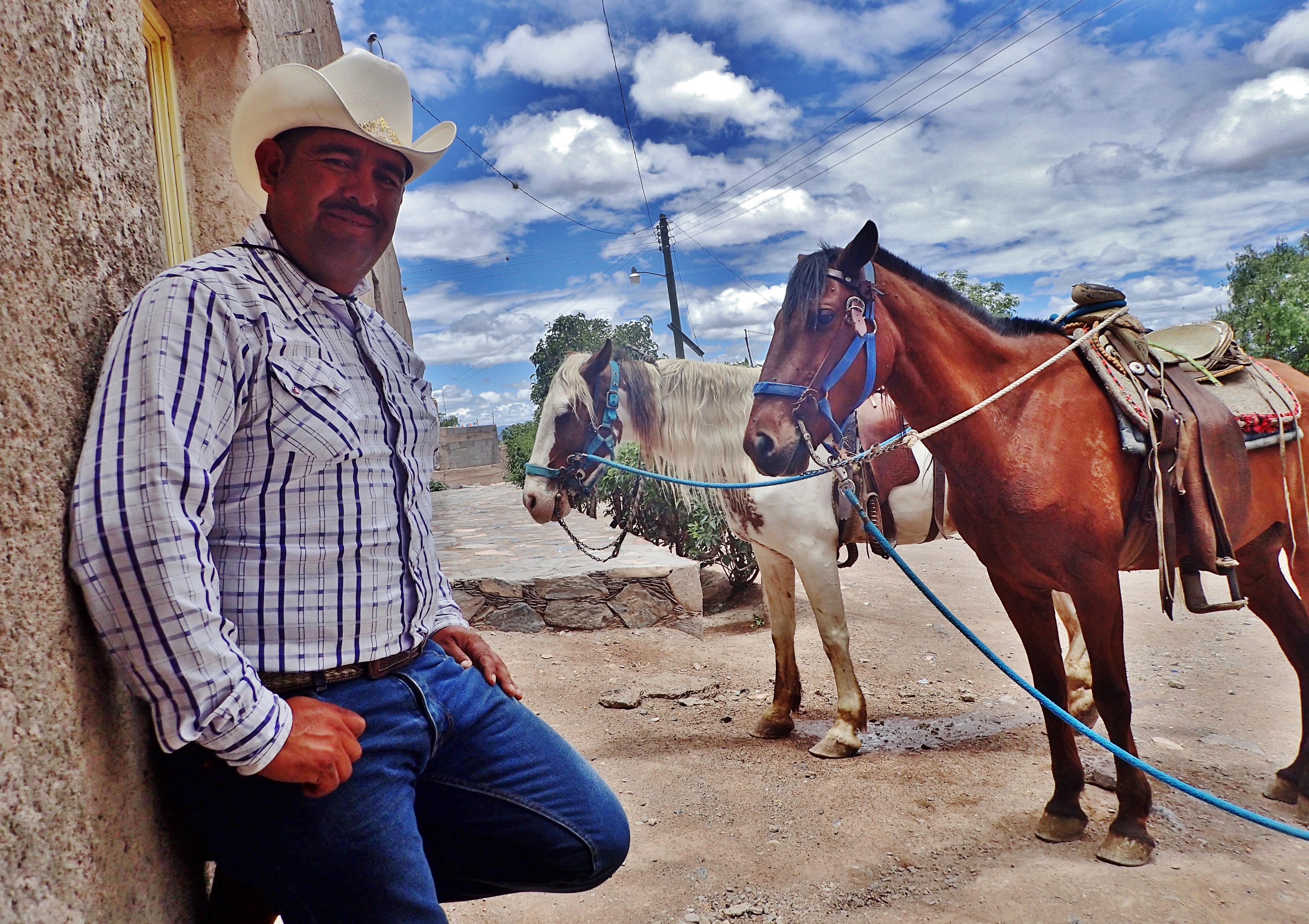
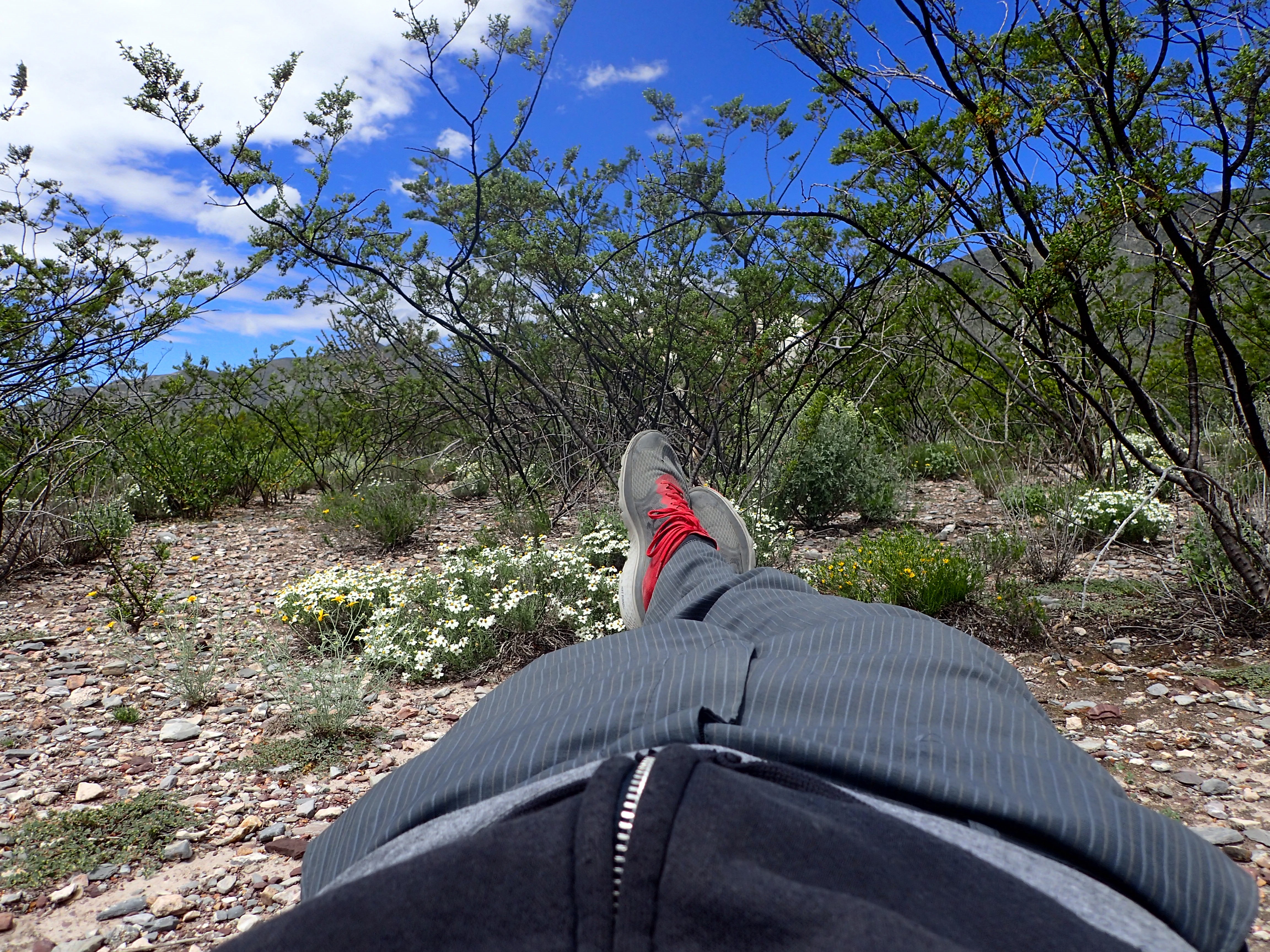
I’m not really too big on horseback riding and decided to spend the rest of the day running behind my guide and the two horses
Pulling up to a convenient store for some refreshments
Mi guía, el ranchero
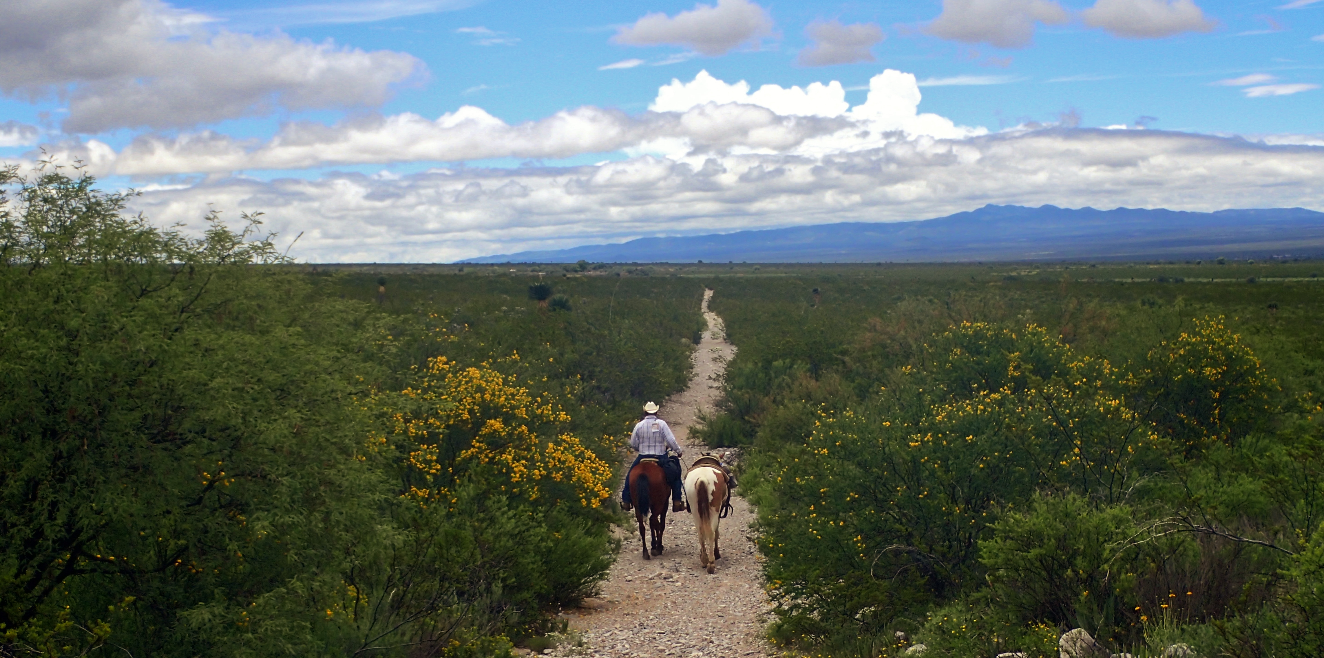
Into the desert
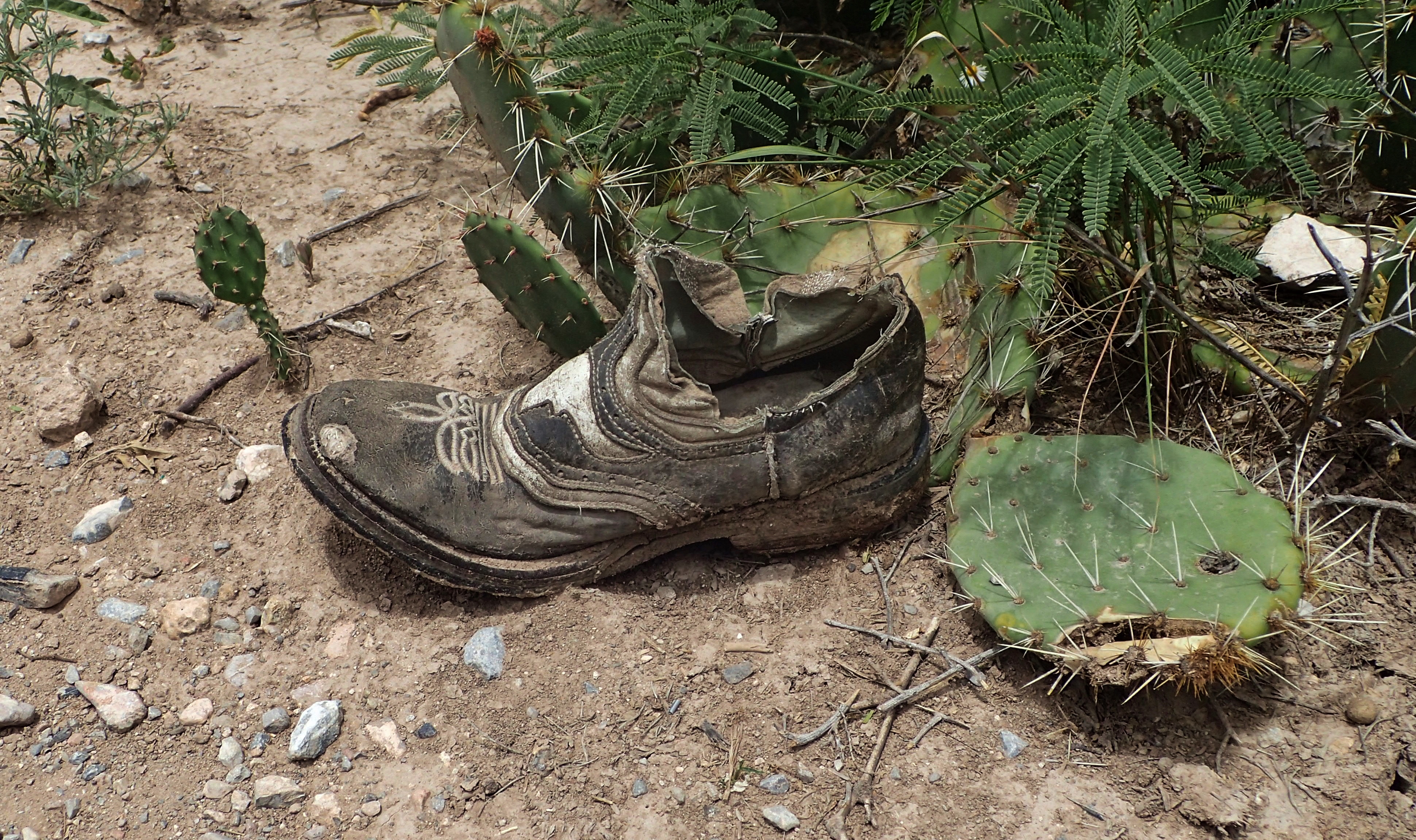
Lonely loafer
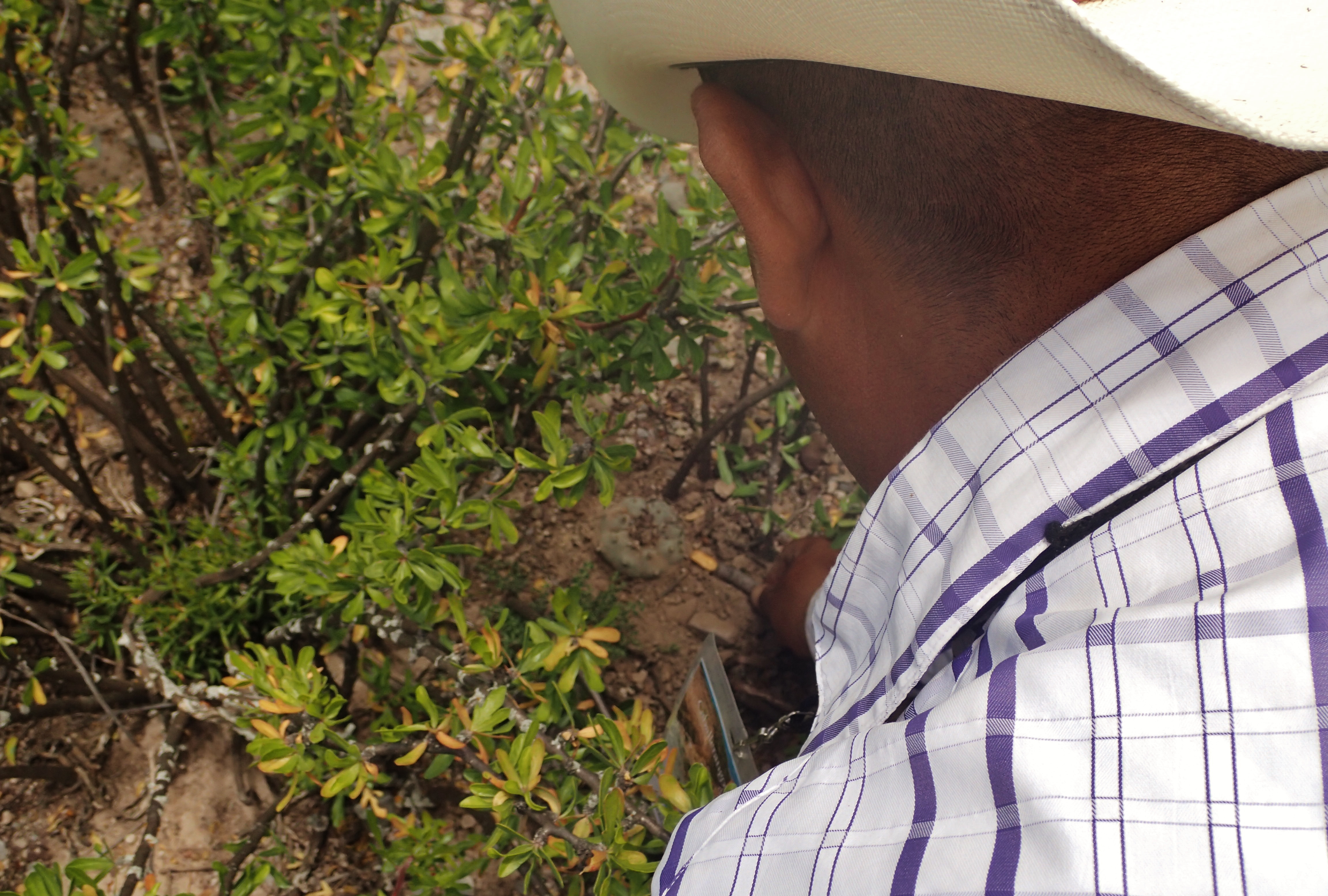
My guide pointing out a peyote cactus growing under some shrubbery. According once again to Wikipedia, “Known for its psychoactive properties when ingested, peyote is used worldwide as a supplement to various transcendence practices including meditation, psychonautics and psychedelic psychotherapy. Peyote has a long history of ritualistic and medicinal use by indigenous Americans.”
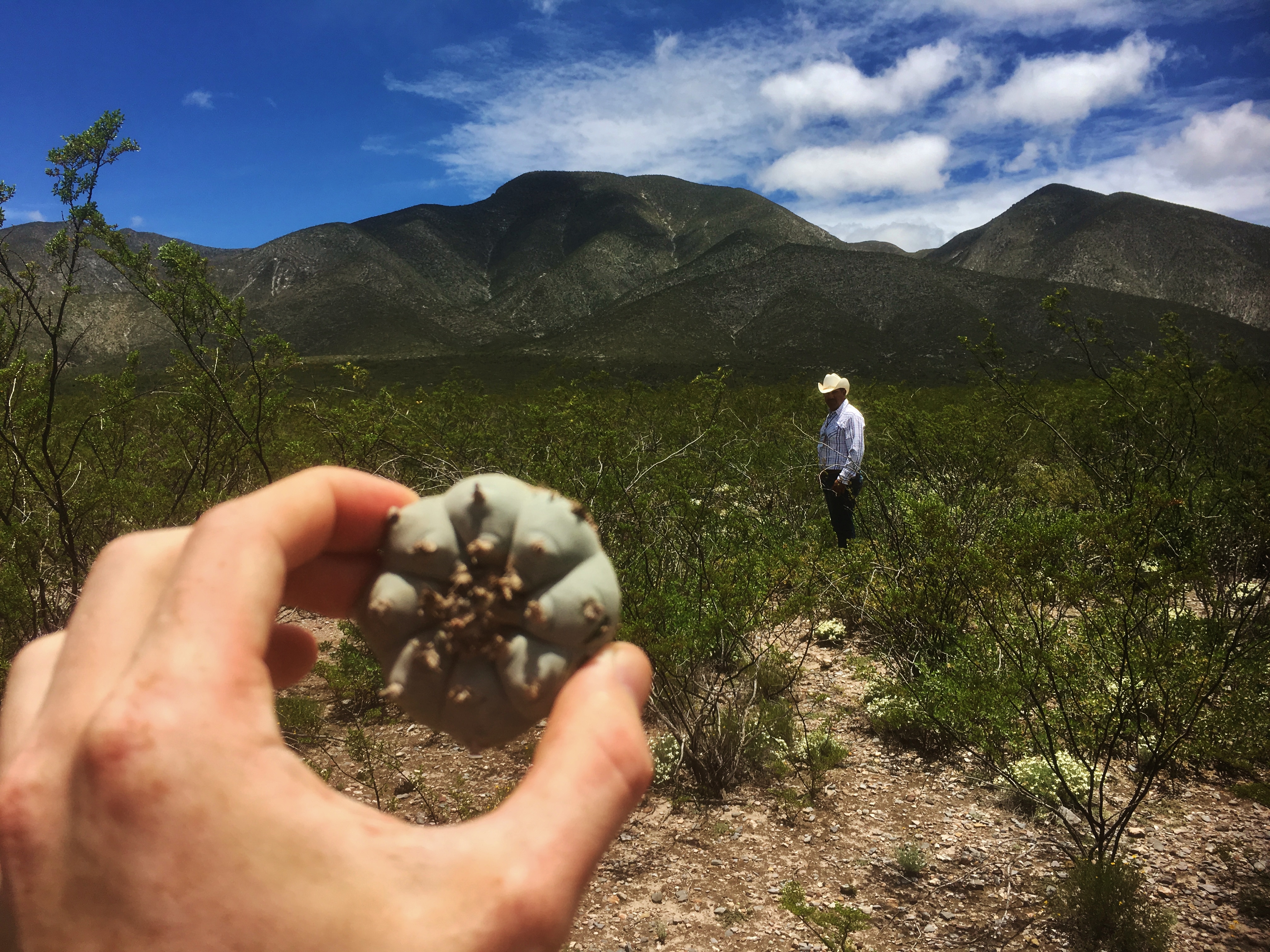
Twins. Some say that the word “peyote” is derived from the Nahuatl word “peyōtl” which can be translated as “Divine Messenger.” They (wikipedia) also say that “Native North Americans are likely to have used peyote, often for spiritual purposes, for at least 5,500 years.”
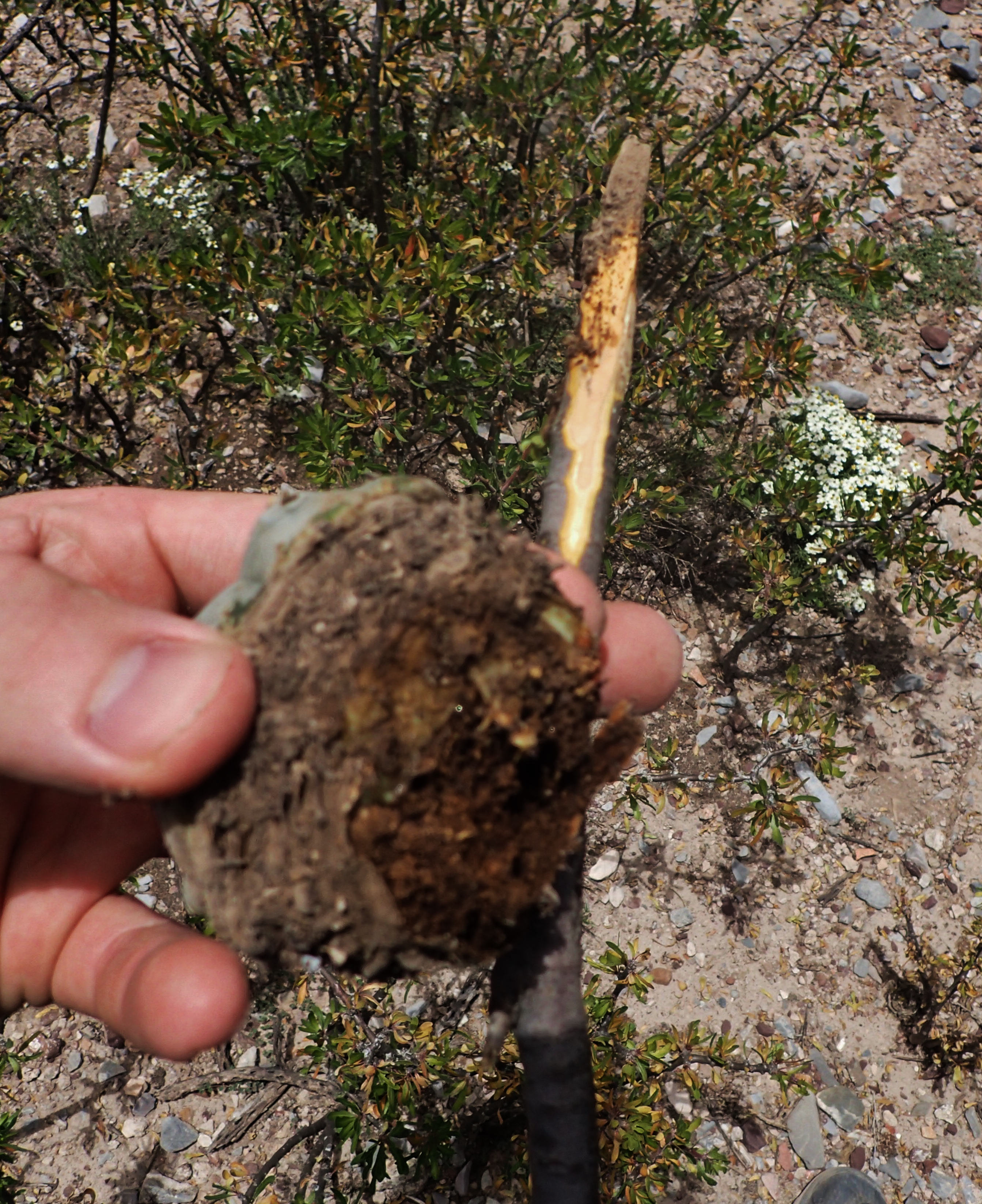
Peyote is considered a “vulnerable” plant species – not quite endangered, but close – so if extracting the plant from the desert for any reason, it’s important that it’s cut in such a way that what’s left of the plant below the ground can regenerate because something like this here can take between 10 and 20 years to grow.
My guide told me that his grandpa had given him his first peyote when he was only five or six years old. That hill up behind him there is a Holy Mountain called Wirikuta. If you understand Spanish, you can read more about Wirikuta here::: http://www.realdecatorce.info/sitio/es/wirikuta/territorio-sagrado.html
I am morally opposed to the use of peyote and other mid-altering substances not permitted within the confines of the law as dictated by the United States of America. As such, I just laid down here and had a rest while my guide walked around and helped himself to 3 or 4 peyotes including the one used for demonstrative purposes in the two previous photos.
Nice day to look up at the sky
Heading back to Real
Nearing the end of a long, tiring run up those hills. Shoulda just rode the extra horse. I’m too stubborn though